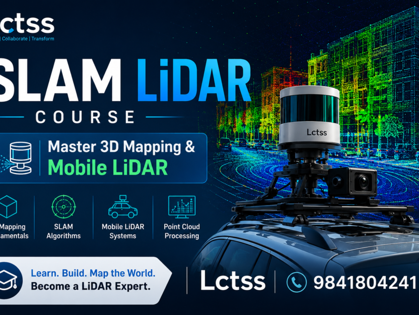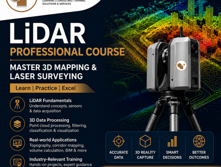
LiDAR Professional Course – Master 3D Mapping & Laser Surveying
In today’s rapidly evolving geospatial and surveying industry, LiDAR (Light Detection and Ranging) has become the backbone of modern mapping, infrastructure planning, environmental monitoring, and smart city development. If you want to build a successful career in 3D mapping, laser scanning, or digital survey technologies, the LiDAR Professional Course by Lctss (Land Coordinates Technology) is