


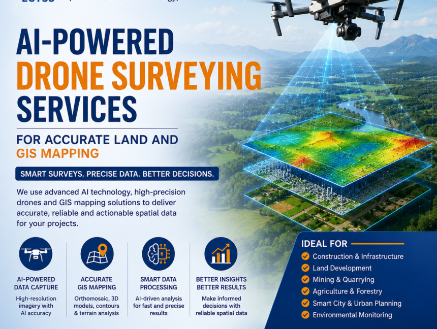
AI-Powered Drone Surveying Services for Accurate Land and GIS Mapping
AI-Powered Drone Surveying Services for Accurate Land and GIS Mapping In today’s fast-growing infrastructure and construction industry, accurate land data plays a major role in successful project planning and execution. Traditional land surveying methods are gradually being replaced by advanced technologies that offer faster, safer, and more precise results. One of the most innovative developments