


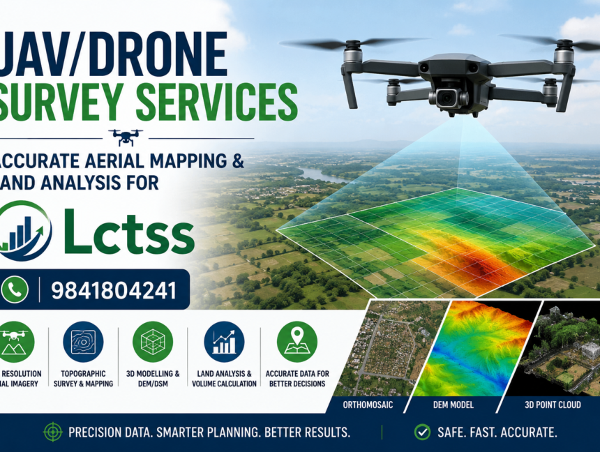
UAV/Drone Survey Services – Accurate Aerial Mapping & Land Analysis
Introduction In today’s fast-paced world, accurate data collection is crucial for a variety of industries, from construction and agriculture to environmental monitoring and urban planning. UAV (Unmanned Aerial Vehicle) or drone survey services have emerged as a revolutionary tool for providing precise aerial mapping and land analysis. At Lctss (Land Coordinates Technology), we specialize in