


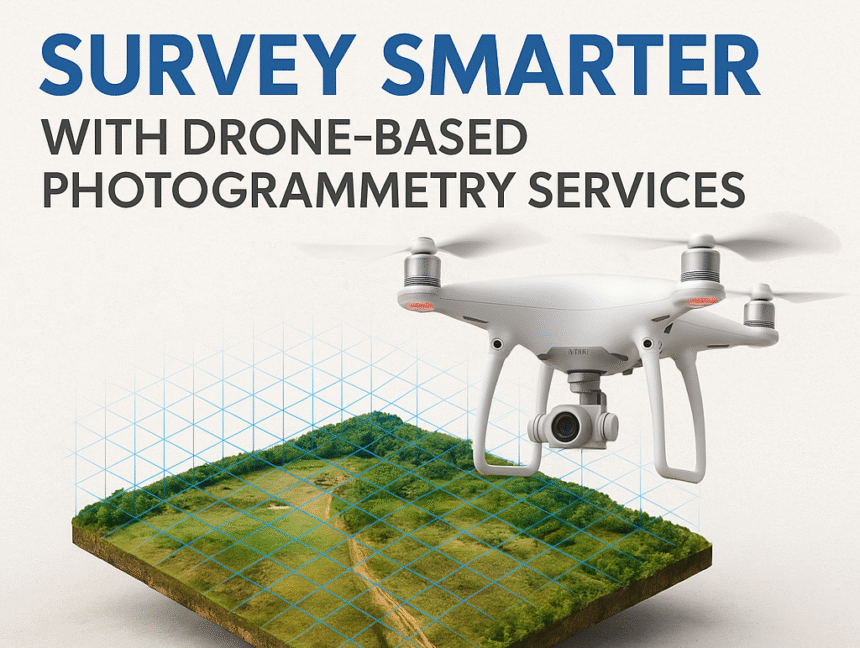
Survey Smarter with Drone-Based Photogrammetry Services
In the evolving landscape of land surveying and geospatial mapping, Drone-Based Photogrammetry has emerged as a game-changing solution. Combining high-resolution imaging with powerful geospatial software, photogrammetry provides precise 2D and 3D maps for a wide range of industries, including civil engineering, agriculture, urban planning, and environmental monitoring. At Lctss (Land Coordinates Technology), we are pioneers