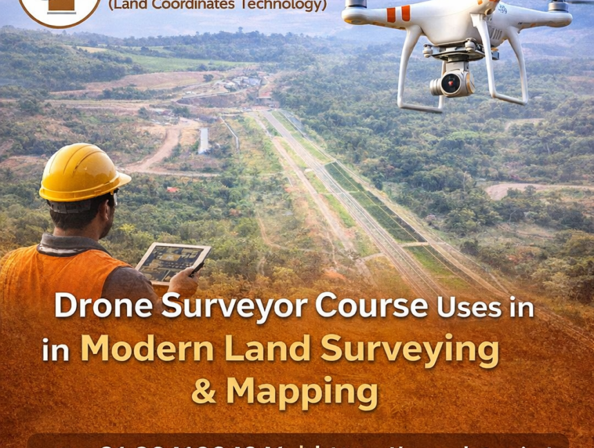
Drone Surveyor Course Uses in Modern Land Surveying & Mapping
Introduction to Drone Surveying in Modern Mapping The rapid evolution of surveying technology has transformed the way land surveying and mapping are carried out across industries. Among these advancements, drone-based surveying has emerged as a powerful, efficient, and highly accurate solution for modern land measurement needs. The Drone Surveyor Course offered by LCTSS (Land Coordinates