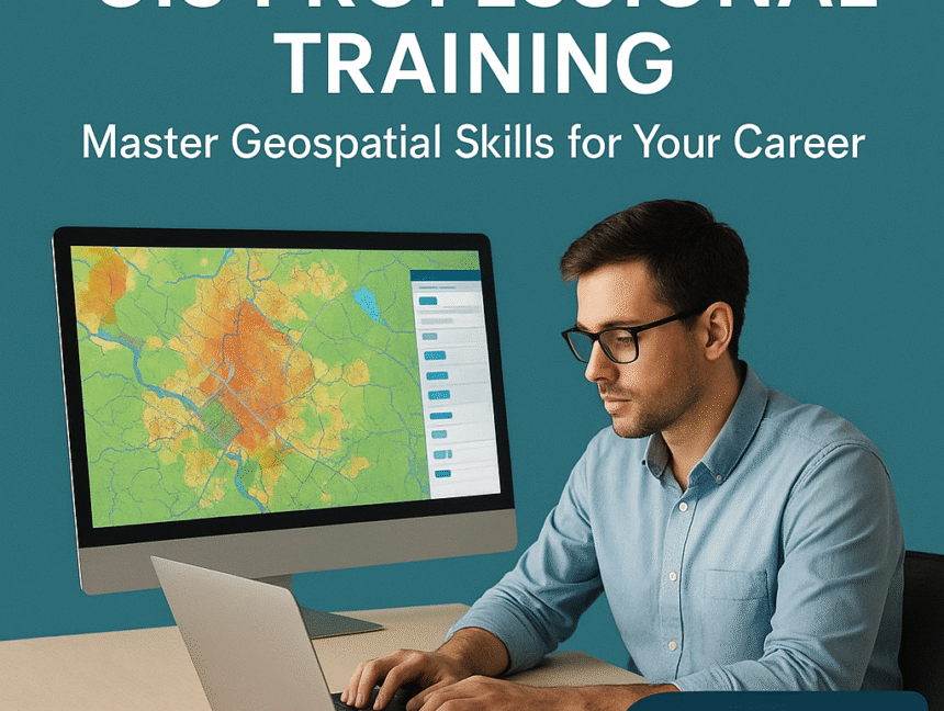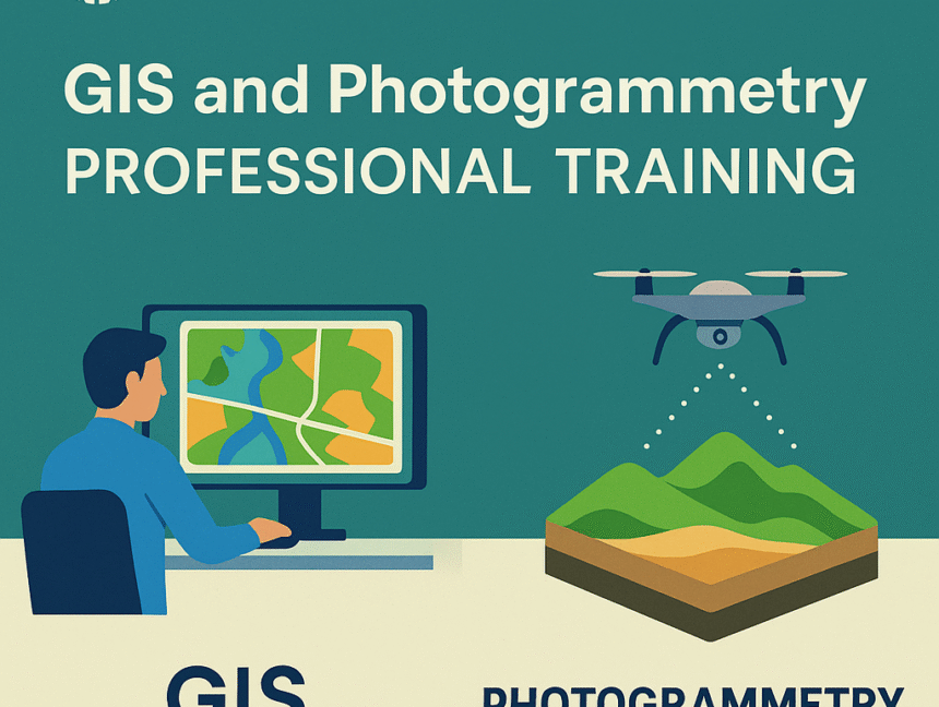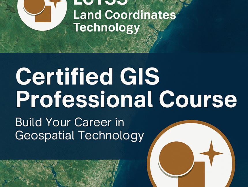
Certified GIS Professional Course – Build Your Career in Geospatial Technology
Empower Your Future with the Certified GIS Professional Course at Lctss In today’s world, Geospatial Technology plays a vital role in understanding, managing, and shaping our environment. From urban planning and environmental monitoring to disaster management and infrastructure development, GIS (Geographic Information Systems) has become the backbone of modern decision-making. At Lctss (Land Coordinates Technology),