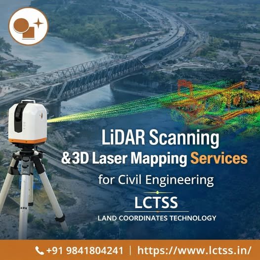
LiDAR Scanning & 3D Laser Mapping Services for Civil Engineering
Precision Survey Solutions by LCTSS (Land Coordinates Technology) In today’s rapidly evolving civil engineering landscape, accuracy, speed, and data reliability are critical to the success of infrastructure projects. From highways and bridges to smart cities and industrial developments, engineers need highly detailed spatial data to plan, design, and execute projects efficiently. This is where LiDAR