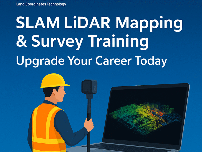
SLAM LiDAR Mapping & Survey Training – Upgrade Your Career Today
Introduction In today’s fast-paced geospatial and surveying industry, accuracy, speed, and efficiency are crucial. One technology that’s revolutionizing the way professionals capture and process 3D spatial data is SLAM LiDAR (Simultaneous Localization and Mapping with Light Detection and Ranging).At Lctss (Land Coordinates Technology), we offer a comprehensive SLAM LiDAR Mapping & Survey Training program designed


