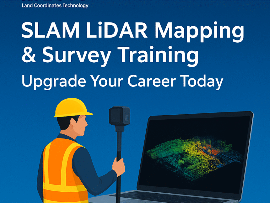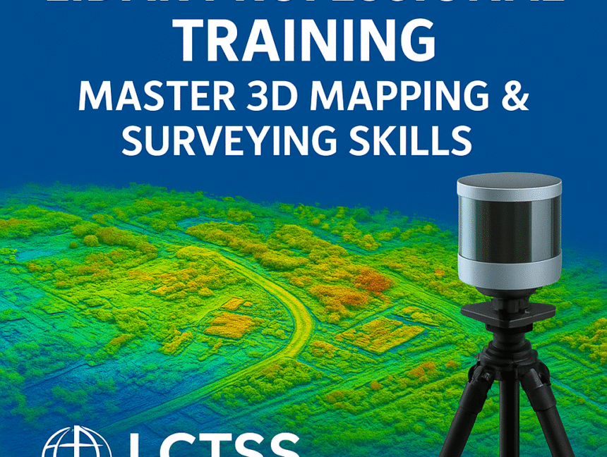
LiDAR Professional Training – Master 3D Mapping & Surveying Skills
The world of land surveying and geospatial technology is rapidly evolving, and LiDAR (Light Detection and Ranging) has emerged as one of the most powerful tools for accurate mapping, terrain modeling, and 3D data acquisition. At Lctss (Land Coordinates Technology), we provide LiDAR Professional Training designed to help surveyors, civil engineers, GIS specialists, and geospatial