


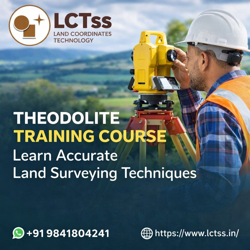
Accurate measurement is the foundation of every successful construction and land development project. One of the most trusted and time-tested instruments in land surveying is the Theodolite. At LCTSS (Land Coordinates Technology), we offer a comprehensive Theodolite Training Course designed to help students, civil engineers, and surveying professionals master precise angle measurement and field surveying techniques with confidence.
Our training program combines theoretical knowledge, hands-on practical sessions, and real-world site exposure, ensuring participants gain industry-ready skills that meet modern surveying and construction standards.
Table of Contents
ToggleDespite advancements in Total Stations, GPS, and Drone Surveys, the Theodolite remains a fundamental surveying instrument. It is widely used for:
Horizontal and vertical angle measurement
Alignment of roads, buildings, and bridges
Control surveys and triangulation
Setting out construction layouts
Traversing and contour mapping
A solid understanding of Theodolite surveying builds a strong technical base, making professionals more versatile and employable across civil engineering, infrastructure, and land development projects.
LCTSS (Land Coordinates Technology) is a trusted name in land surveying services, surveying training, GIS, LiDAR, drone surveying, and civil engineering solutions across India. With years of industry experience, LCTSS focuses on skill-oriented training programs that bridge the gap between academic knowledge and field requirements.
Our Theodolite Training Course is developed by experienced survey professionals, ensuring learners gain practical exposure aligned with real-time industry demands.
The Theodolite Training Course – Learn Accurate Land Surveying Techniques at LCTSS is structured to provide complete knowledge of instrument handling, observation methods, and surveying computations.
Beginner to advanced level training
Practical field-based learning
Industry-standard surveying procedures
Experienced trainers with real project exposure
Certification upon successful completion
Basics of land surveying
Types of Theodolites (Transit & Non-Transit)
Applications in civil engineering and construction
Telescope, horizontal and vertical circles
Levelling head, clamps, and tangent screws
Reading verniers and scales
Centering and leveling
Focusing and elimination of parallax
Instrument calibration methods
Method of repetition
Method of reiteration
Practical field exercises
Elevation and depression angles
Height determination of structures
Slope correction methods
Open and closed traverses
Bearing and azimuth calculations
Error adjustment techniques
Building layout and column marking
Road centerline alignment
Curve setting for highways and railways
Contour interval selection
Field data collection
Plotting and interpretation
Standard field book formats
Data reduction and plotting
Survey accuracy checks
Field safety guidelines
Instrument care and maintenance
Error minimization techniques
At LCTSS, we believe surveying is best learned on the field. Our Theodolite Training Course includes:
Live instrument handling
Real-site surveying exercises
Practical problem-solving sessions
Data analysis and interpretation
This hands-on approach ensures participants gain confidence to work independently on survey sites.
This course is ideal for:
Civil Engineering students
Diploma holders in civil & surveying
Land surveyors
Construction professionals
Site engineers
Freshers looking to start a surveying career
No prior field experience is mandatory for beginners.
After completing the Theodolite Training Course at LCTSS, participants can pursue roles such as:
Land Surveyor
Survey Assistant
Site Engineer
Civil Survey Technician
Infrastructure Project Surveyor
The skills learned also form a strong foundation for advanced training in Total Station, DGPS, Drone Surveying, and GIS.
✅ Industry-experienced trainers
✅ Practical, job-oriented curriculum
✅ Real-time field exposure
✅ Affordable course fees
✅ Certification from a recognized training institute
✅ Guidance for career growth
LCTSS focuses on skill development that meets real project requirements, making our trainees industry-ready from day one.
Participants who successfully complete the course receive a Theodolite Training Certificate from LCTSS (Land Coordinates Technology), which adds value to resumes and enhances job opportunities in surveying and construction fields.
Ramesh K., Civil Engineering Student
“The Theodolite training at LCTSS was very practical. I learned real field techniques that helped me during my site internship.”
Suresh P., Land Surveyor
“Excellent training with hands-on practice. Trainers explained every concept clearly and patiently.”
Anitha M., Site Engineer
“LCTSS provided real survey site exposure. Theodolite alignment and traversing sessions were extremely useful.”
Vijay R., Diploma Civil Graduate
“This course helped me build strong basics before learning Total Station. Highly recommended.”
Karthik S., Construction Professional
“Professional trainers and well-structured syllabus. Worth every rupee.”
A Theodolite is used to measure horizontal and vertical angles in land surveying, construction layout, and alignment works.
Yes. The course is designed for beginners as well as professionals, starting from basic concepts.
Course duration varies depending on training mode, typically ranging from short-term practical sessions to detailed programs.
Yes. LCTSS emphasizes hands-on field training with real instruments and live sites.
Yes. Participants receive a certified course completion certificate from LCTSS.
Yes. The course builds job-oriented surveying skills required in construction and infrastructure projects.
No. LCTSS provides survey instruments for training purposes.
Absolutely. Theodolite skills are essential for understanding advanced surveying instruments and site fundamentals.
Yes. The course is suitable for students, freshers, and working professionals.
Yes. LCTSS offers training in Total Station, DGPS, Drone Surveying, GIS, LiDAR, and more.
Build a strong foundation in land surveying with the Theodolite Training Course – Learn Accurate Land Surveying Techniques at LCTSS (Land Coordinates Technology). Gain practical skills, industry knowledge, and certification that help you grow confidently in the surveying and construction industry.
📞 Contact LCTSS today to start your surveying career with confidence!