


In today’s fast-paced infrastructure and development world, accuracy, efficiency, and real-time data are key to successful land planning and construction execution. At Lctss (Land Coordinates Technology), we provide reliable UAV/Drone Survey Solutions that revolutionize how projects are designed, analyzed, and completed across Tamil Nadu, Kerala, Karnataka, and beyond.
Table of Contents
ToggleTraditional surveying methods, while reliable, often fall short in large-scale, complex, or hard-to-reach terrain. UAVs (Unmanned Aerial Vehicles), commonly known as drones, have brought speed, cost-efficiency, and high-resolution imaging into the realm of modern surveying.
Whether you’re mapping a residential township, conducting topographical studies for highways, or planning large-scale industrial infrastructure, Lctss’s drone survey solutions are engineered to meet your exact requirements.
At Lctss, we specialize in end-to-end UAV survey services for:
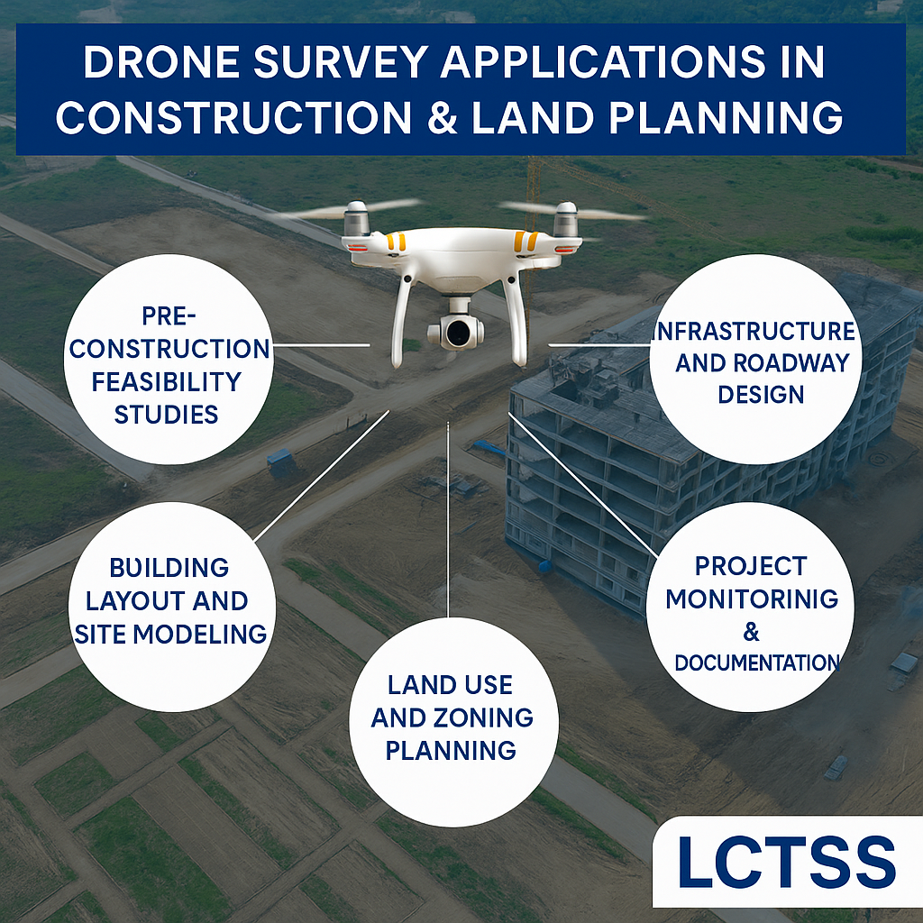
Construction Site Planning
Topographical Mapping
Urban and Rural Land Planning
3D Modeling and Elevation Data
Pre-Construction & Post-Construction Monitoring
Volume and Stockpile Calculations
Environmental Impact Studies
Precision Agriculture & Irrigation Planning
We use high-resolution UAVs equipped with advanced sensors, GPS, and photogrammetry tools. Our process includes:
Pre-survey Planning
Site details, flight paths, and safety protocols are finalized.
Data Collection
UAVs fly over the site, capturing hundreds to thousands of georeferenced aerial images.
Data Processing
Our experts use photogrammetry software to generate 3D models, point clouds, orthomosaics, and contour maps.
Analysis & Reporting
Clients receive actionable insights, CAD overlays, and GIS-compatible files to support planning and decision-making.
Sub-centimeter accuracy ensures the reliability of spatial and structural data.
Drone surveys are up to 10x faster and 30–40% cheaper than traditional methods, especially in large areas.
Reduce on-site risks in hazardous or inaccessible zones by deploying aerial surveys.
Track project progress over time with repeated UAV scans and reporting.
Receive orthophotos, 3D terrain models, elevation data, volume calculations, and more in preferred formats like .DWG, .LAS, .TIFF, or .KML.
Gain clear, accurate aerial imagery and 3D topography of the land to support feasibility assessments, bidding, and budgeting.
UAVs offer detailed terrain mapping for efficient planning of roads, flyovers, drainage systems, and utility lines.
Align building design and placement with real-world site contours and boundaries.
Track excavation, cut/fill volumes, and material usage accurately across time.
Record every phase of construction progress with date-stamped aerial documentation.
Identify existing land use patterns and optimize future development with GIS-ready drone data.
Civil Engineering & Infrastructure
Real Estate Development
Agriculture & Irrigation
Urban Planning
Mining & Quarrying
Renewable Energy (Solar/Wind Sites)
Water Resources Management
Rail & Transportation Authorities
Our certified drone pilots and GIS specialists bring years of expertise in construction, land planning, and terrain modeling.
We use state-of-the-art UAVs like RTK-enabled drones, fixed-wing aircraft for large areas, and quadcopters for precise vertical mapping.
From permissions and flight planning to data processing and delivery, we manage the complete lifecycle.
With strong roots in South India and capability to handle projects nationwide, Lctss ensures location-specific accuracy and timely delivery.
| Stage | Description |
|---|---|
| Consultation | Understand your project requirements and site scope |
| Planning | Determine drone type, flight paths, legal permissions |
| Survey Execution | UAV flights with strict adherence to safety norms |
| Data Processing | GIS, CAD, and BIM-compatible outputs |
| Final Delivery | Actionable reports and visualization models |
Orthomosaic Maps
Digital Terrain Models (DTM)
Digital Surface Models (DSM)
Contours and Elevation Maps
3D Point Clouds
Volume Calculations
Site Progress Videos and Timelapse
“Lctss’s drone survey team delivered high-precision maps for our industrial project in Coimbatore. Saved us weeks of manual effort.”
— Ramesh K., Project Head, CivilX Infra Pvt. Ltd.
“Thanks to their UAV survey solutions, our land use planning was 100% aligned with on-ground reality.”
— Priya M., Architect, GreenZoned Planners
If you’re planning a new site, monitoring construction, or assessing land for future development, it’s time to bring in UAV technology with Lctss. Contact us today to request a quote or schedule a free consultation.
🔗 Visit: https://www.lctss.in
📞 Call: +91-9841804241
✉️ Email: lctsurveyins@gmail.com
A UAV/Drone survey uses unmanned aerial vehicles equipped with sensors and cameras to capture aerial data used for mapping, planning, and analysis.
With RTK/PPK drones and proper ground control points, accuracy can reach within 2–5 cm, matching or exceeding traditional ground surveys.
We provide data in .DWG, .TIFF, .KML, .LAS, .DXF, and .PDF formats, depending on your needs.
It varies with the size of the site. A 100-acre site can be surveyed and processed within 2–3 working days.
Yes, Lctss operates with DGCA-compliant UAVs and secures necessary flight permissions.
Yes, we specialize in surveying difficult terrains, including forest buffers, hills, and wetlands.
Absolutely. Our aerial data can be overlaid on cadastral maps for precise property demarcation.
Cost depends on area, terrain, and required outputs. Contact us for a tailored estimate.
We use industry-leading software like Pix4D, DroneDeploy, Agisoft Metashape, and ArcGIS.
Yes, drone data can serve as strong visual evidence in land-related litigation, provided it’s gathered professionally and verified.
Lctss (Land Coordinates Technology) empowers architects, engineers, planners, and developers with cutting-edge UAV/Drone survey solutions for reliable and scalable construction planning. Whether it’s a 10-acre plot or a 1000-acre township, trust Lctss to deliver precision from the sky to the ground.