


Table of Contents
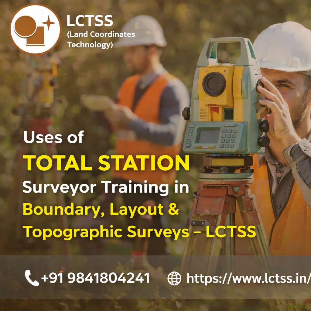
ToggleTotal Station Surveyor Training plays a vital role in shaping skilled professionals who can deliver accurate, efficient, and legally reliable survey results. For companies like LCTSS (Land Coordinates Technology), which specialize in advanced land surveying and geospatial services, well-trained total station surveyors are the backbone of quality boundary, layout, and topographic surveys. A total station combines electronic distance measurement, angle measurement, and data recording into a single instrument, making it indispensable in modern surveying. However, the true value of this technology is realized only when surveyors are properly trained to use it effectively in real-world field conditions.
In boundary surveys, total station surveyor training ensures that professionals understand how to establish, verify, and re-establish legal property boundaries with high precision. Boundaries are often linked to legal documents, cadastral maps, and historical records, which require careful interpretation and accurate ground measurements. Through structured training, surveyors learn how to set up control points, reference benchmarks, and conduct precise angular and distance measurements using a total station. This minimizes boundary disputes and ensures compliance with land records and government regulations. At LCTSS, trained surveyors apply these skills to deliver boundary surveys that are reliable, court-admissible, and trusted by landowners, developers, and authorities.
Layout surveys are another critical area where total station surveyor training proves essential. Layout surveys involve transferring approved plans from drawings to the ground, which is a crucial step in construction and infrastructure development. Even minor errors in layout marking can lead to costly rework, structural issues, or legal complications. With proper training, surveyors gain the ability to accurately stake out building corners, road centerlines, plot divisions, and utility alignments using total station instruments. Training also emphasizes coordinate-based layout methods, which improve consistency and reduce cumulative errors over large project areas. LCTSS-trained professionals use these techniques to support residential, commercial, and industrial projects, ensuring that construction aligns perfectly with approved designs.
Topographic surveys represent one of the most detailed and data-intensive applications of total station technology. These surveys require the accurate capture of natural and man-made features such as elevations, contours, trees, structures, roads, and drainage patterns. Total station surveyor training equips professionals with the knowledge to collect dense and accurate topographic data efficiently. Surveyors learn how to choose appropriate survey methods, manage line-of-sight challenges, and record elevation data accurately across varied terrain. This training is especially important in regions with uneven landscapes, where improper measurement techniques can distort contour maps and design inputs. At LCTSS, trained surveyors produce high-quality topographic maps that support planning, design, and environmental assessment projects.
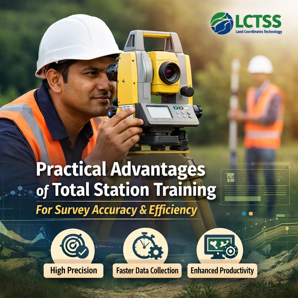
One of the key uses of total station surveyor training is improving overall survey accuracy and efficiency. Training programs focus not only on operating the instrument but also on understanding surveying principles, error sources, and field best practices. Surveyors learn how to properly level and orient the instrument, perform backsight and foresight observations, and apply corrections where required. This technical understanding significantly reduces human and instrumental errors, which is critical in boundary, layout, and topographic surveys where precision is non-negotiable.
Efficiency is another major benefit gained through total station training. Modern projects often operate under tight timelines, and survey delays can impact entire construction schedules. A trained total station surveyor can complete fieldwork faster by using optimized measurement techniques, data logging features, and integrated software workflows.
Training also covers data transfer and processing, enabling seamless integration with CAD, GIS, and design platforms. At LCTSS, this efficiency translates into faster project delivery without compromising data quality, giving clients a strong competitive advantage.
Total station surveyor training also enhances problem-solving skills in challenging field conditions. Boundary and topographic surveys frequently involve obstacles such as dense vegetation, uneven terrain, limited access, or urban congestion. Through hands-on training, surveyors learn how to adapt survey strategies, select suitable control points, and maintain accuracy despite environmental constraints. This practical exposure is particularly valuable for layout surveys in active construction sites, where coordination with engineers and contractors is essential. LCTSS emphasizes real-world training scenarios to ensure surveyors are confident and capable in diverse project environments.
Another important use of total station training is ensuring consistency and standardization across survey projects. Trained surveyors follow established methodologies and quality control procedures, which leads to uniform data outputs regardless of project size or location. This consistency is crucial for large developments, phased construction projects, and long-term infrastructure works. LCTSS relies on standardized total station survey practices to maintain its reputation for precision, reliability, and professionalism across Tamil Nadu, Kerala, Karnataka, and other regions.
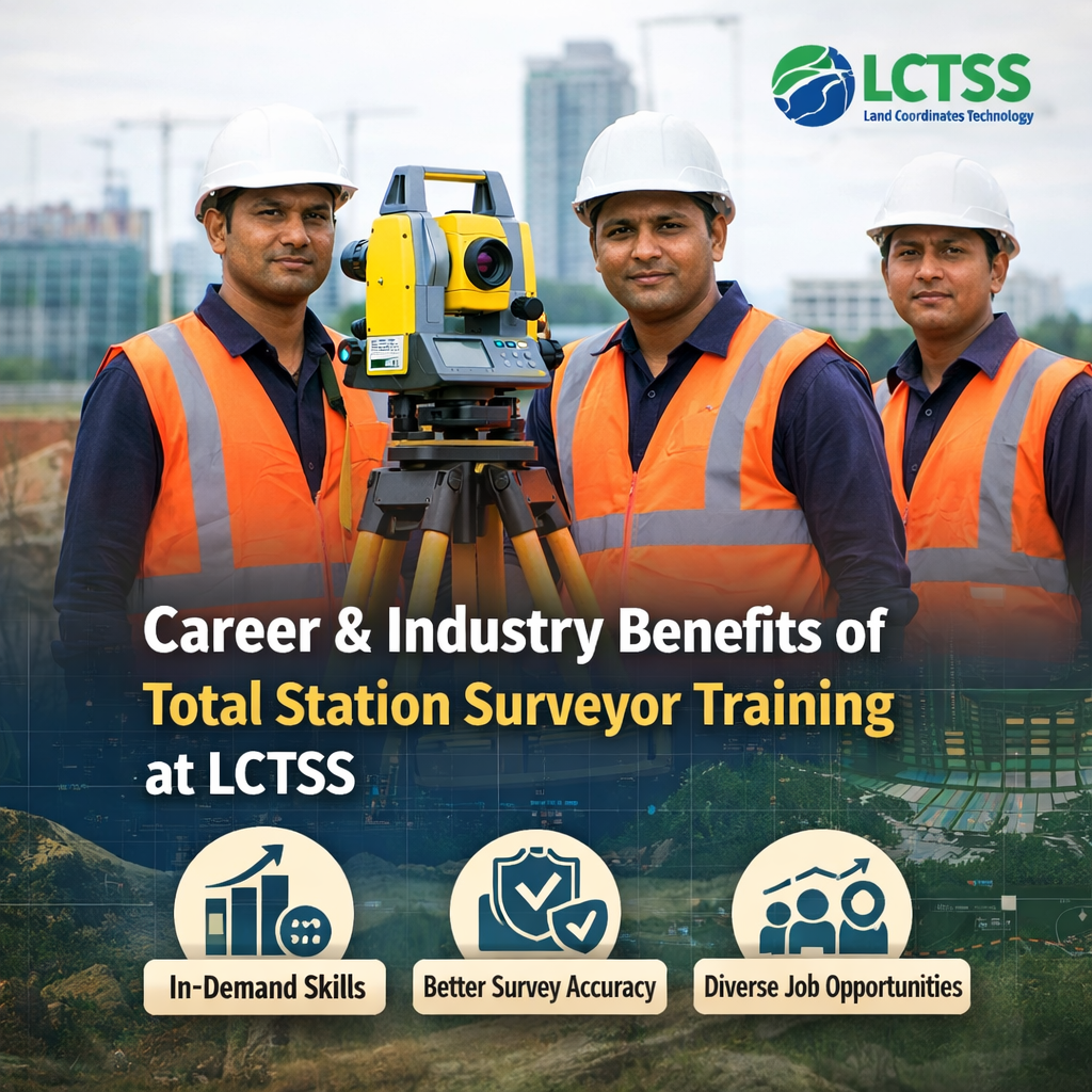
Beyond technical applications, total station surveyor training offers significant career and industry benefits. For individuals, mastering total station surveying opens opportunities in land surveying, civil construction, infrastructure development, real estate, and government projects. Boundary, layout, and topographic surveys form the foundation of most civil engineering activities, making trained surveyors highly востреб (in-demand) across the industry. LCTSS provides training that aligns with current industry standards, helping surveyors build practical skills that are immediately applicable on-site.
For organizations and clients, the use of trained total station surveyors ensures better decision-making and risk reduction. Accurate boundary surveys help prevent legal conflicts, precise layout surveys ensure construction compliance, and detailed topographic surveys support efficient design and planning.
Training also instills a strong understanding of safety practices, instrument care, and ethical surveying conduct, all of which contribute to long-term project success. LCTSS integrates these values into its training approach, creating professionals who are not only skilled but also responsible and reliable.
In today’s rapidly evolving surveying landscape, total station technology continues to integrate with GNSS, drones, and GIS systems. Proper training provides surveyors with a strong foundation to adapt to these advanced technologies. Understanding total station fundamentals makes it easier to work in hybrid survey environments, where boundary, layout, and topographic data are combined from multiple sources. LCTSS leverages this integrated approach, using trained surveyors to deliver comprehensive land surveying solutions tailored to modern project requirements.
In conclusion, the uses of total station surveyor training in boundary, layout, and topographic surveys are extensive and indispensable. From ensuring legal accuracy in boundary determination to achieving construction precision in layout surveys and capturing detailed terrain data in topographic mapping, trained surveyors play a critical role at every stage. LCTSS (Land Coordinates Technology) recognizes the importance of this training and continues to invest in developing skilled professionals who uphold the highest standards of accuracy, efficiency, and reliability. Through expert total station surveyor training, LCTSS not only enhances project outcomes but also contributes to the growth and professionalism of the surveying industry as a whole.