Table of Contents
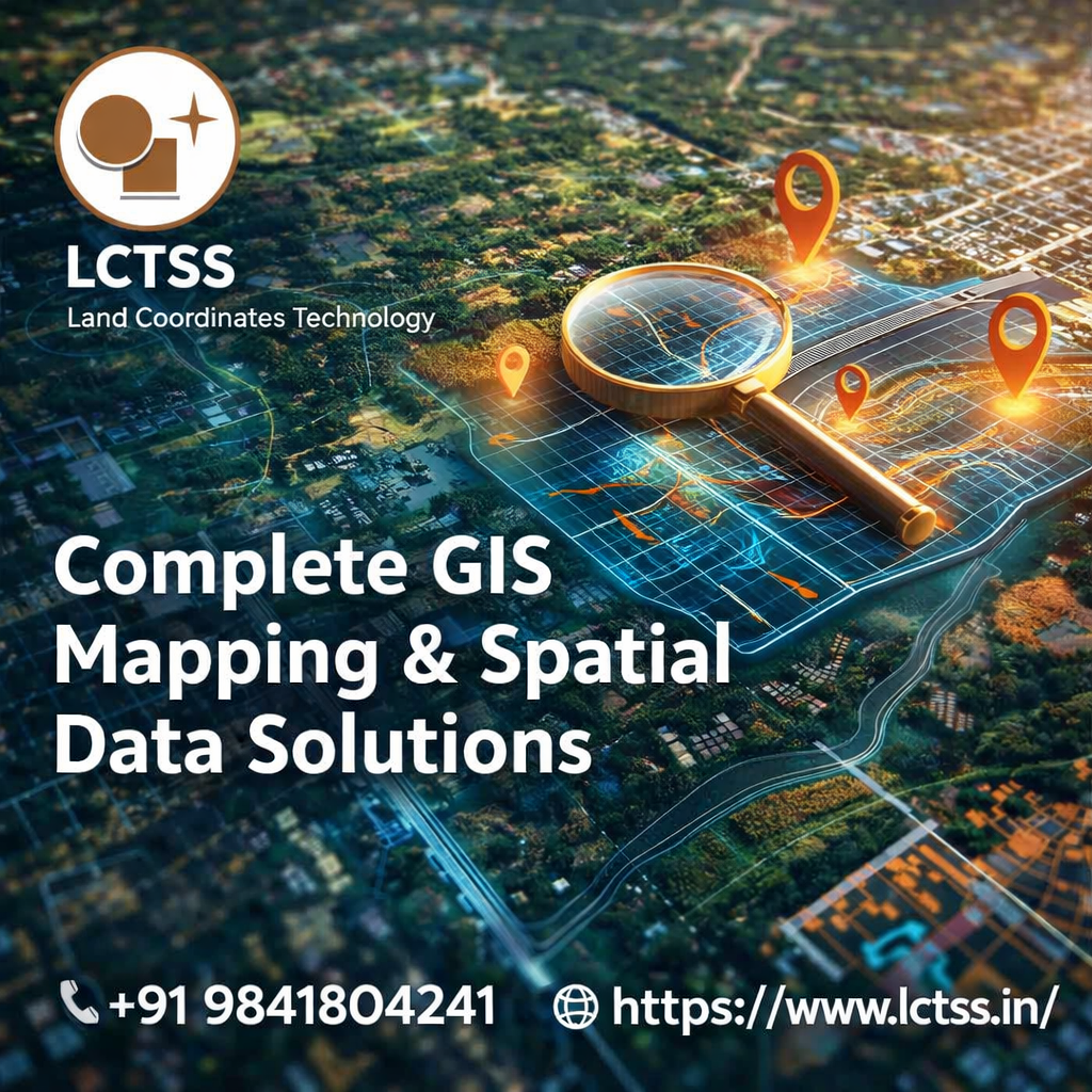
ToggleIn today’s data-driven world, accurate geographic information is the foundation of smart planning and sustainable development. Land Coordinates Technology (LCTSS) delivers complete GIS Mapping & Spatial Data Solutions designed to support government departments, infrastructure developers, construction companies, urban planners, and private organizations with reliable, high-precision geographic intelligence. Our solutions combine advanced technology, experienced professionals, and industry-focused methodologies to transform raw geographic data into meaningful insights that drive better decision-making. At LCTSS, we understand that every project is unique, and our GIS mapping services are customized to meet the specific technical, regulatory, and operational requirements of each client.
GIS mapping is more than just creating digital maps. It is a powerful analytical system that captures, stores, analyzes, and visualizes spatial and geographic data. At Land Coordinates Technology, we use cutting-edge GIS software platforms such as ArcGIS and QGIS to process and interpret complex datasets. Our team integrates satellite imagery, drone survey data, total station survey inputs, GPS coordinates, LiDAR data, and field measurements into structured GIS databases that provide accurate spatial representation. This integration allows clients to visualize terrain conditions, infrastructure layouts, land boundaries, utilities, environmental factors, and development potential in a highly detailed and interactive format.
Land Coordinates Technology provides comprehensive GIS mapping services tailored for multiple industries. For civil engineering and infrastructure development, our GIS solutions support route alignment planning, utility mapping, road network analysis, and project feasibility studies. By leveraging geospatial analytics, we help engineers identify constraints, optimize designs, and reduce project risks before construction begins. Urban planners benefit from our spatial data solutions in zoning analysis, land use planning, smart city development, and population density mapping. Accurate spatial visualization ensures better urban management and long-term sustainability.
For land surveying projects, LCTSS integrates field survey data with GIS platforms to create precise boundary maps, topographic maps, contour maps, and cadastral mapping solutions. Our GIS systems help streamline land acquisition processes, documentation, and regulatory compliance. In environmental and natural resource management, we provide spatial analysis for watershed mapping, forest mapping, flood risk assessment, and environmental impact studies. These solutions enable authorities and organizations to monitor ecological changes, manage resources effectively, and plan mitigation strategies with confidence.
Our spatial data solutions also extend to utility mapping and asset management. By building centralized GIS databases, organizations can monitor pipelines, electrical networks, drainage systems, and telecommunications infrastructure efficiently. This improves maintenance planning, reduces downtime, and enhances operational efficiency. Through data layering and real-time visualization, stakeholders can quickly access relevant information, leading to faster decision-making and improved coordination across departments.
At Land Coordinates Technology (LCTSS), our approach to GIS mapping focuses on precision, scalability, and innovation. We begin each project with detailed data collection using advanced survey instruments, GNSS systems, drones, and LiDAR technology. The collected data is processed, validated, and structured into geodatabases to ensure accuracy and consistency. Our GIS experts then perform spatial analysis, thematic mapping, and 3D visualization to convert raw data into actionable insights.
One of the key strengths of LCTSS lies in our ability to integrate multiple datasets into a unified GIS environment. By combining topographic data, satellite imagery, cadastral records, and engineering drawings, we create comprehensive spatial models that provide a complete view of project areas. This holistic perspective enables better planning, efficient resource allocation, and minimized project delays. Our GIS solutions are scalable, allowing clients to expand and update their spatial databases as projects grow or requirements evolve.

Data accuracy and quality control are central to our operations. Our team follows industry standards and rigorous validation procedures to ensure reliable outputs. We conduct cross-verification of coordinates, attribute data checks, and spatial consistency analysis to maintain high precision. This commitment to quality ensures that our GIS maps and spatial datasets can be confidently used for technical, legal, and operational purposes.
In addition to technical excellence, LCTSS emphasizes user-friendly solutions. We provide customized GIS dashboards, interactive map interfaces, and digital reports that allow clients to easily access and interpret spatial information. These digital platforms enhance collaboration among project teams and enable stakeholders to visualize project progress and spatial trends effectively. Whether it is a government infrastructure project, private land development, or environmental assessment study, our GIS mapping solutions are designed to deliver clarity, efficiency, and measurable value.
Land Coordinates Technology continues to stay ahead by adopting emerging geospatial technologies and innovative workflows. The integration of drone mapping, 3D modeling, remote sensing, and cloud-based GIS systems ensures that our clients receive modern and future-ready solutions. As industries increasingly rely on accurate geospatial intelligence, LCTSS remains committed to providing reliable, cost-effective, and technologically advanced GIS Mapping & Spatial Data Solutions.
With a strong foundation in surveying, mapping, and geospatial analysis, Land Coordinates Technology (LCTSS) has established itself as a trusted partner for complete GIS services. Our dedication to accuracy, timely delivery, and customer satisfaction makes us the preferred choice for organizations seeking dependable spatial data solutions. By transforming geographic data into strategic insights, we empower clients to plan smarter, execute efficiently, and build sustainable projects with confidence.


