


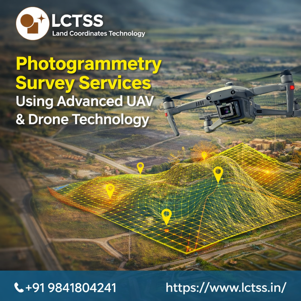
Photogrammetry survey services have become an essential part of modern land surveying, construction planning, and infrastructure development. With the rapid advancement of UAV and drone technology, surveyors can now collect highly accurate spatial data faster and more efficiently than traditional methods. Lctss (Land Coordinates Technology) is one of the leading providers of photogrammetry survey services, offering reliable aerial mapping solutions using advanced UAV and drone systems. These modern techniques allow professionals to capture high-resolution images from the air and convert them into precise maps, 3D models, and detailed geospatial data for a wide range of industries.
At Lctss (Land Coordinates Technology), photogrammetry surveying is carried out using advanced drones equipped with high-quality cameras, GPS systems, and sophisticated data processing software. The process involves capturing multiple overlapping images of a particular area from different angles. These images are then processed using specialized software to generate accurate maps, orthomosaic images, digital elevation models, and 3D terrain representations. Compared to conventional land surveying methods, drone-based photogrammetry significantly reduces time, labor, and operational costs while maintaining a high level of precision.
Drone photogrammetry survey services are widely used in various sectors such as construction, civil engineering, land development, mining, agriculture, infrastructure planning, and environmental monitoring. For construction projects, aerial photogrammetry helps engineers and planners obtain detailed site data before starting the project. Accurate terrain models and topographic maps allow project managers to plan construction activities more effectively and reduce the risk of costly errors. By using UAV technology, surveyors can capture data even in difficult or hazardous locations that may be challenging to access through traditional survey methods.
One of the key advantages of using advanced UAV and drone technology for photogrammetry surveys is the speed and efficiency of data collection. Traditional surveying methods often require large teams, extensive equipment, and significant time to cover large land areas. In contrast, drone-based surveys can cover several acres of land in a short time while capturing thousands of high-resolution images. These images provide detailed information about land features, elevations, structures, and surrounding environments. Lctss (Land Coordinates Technology) uses advanced data processing tools to convert these images into accurate survey outputs that can be easily integrated into engineering and GIS systems.
Accuracy plays a critical role in any surveying project, and drone photogrammetry provides exceptional precision when performed using modern equipment and proper control points. By integrating high-precision GPS systems and ground control points, Lctss ensures that the final survey outputs meet industry standards and project requirements. The generated maps and models are highly reliable and can be used for planning, design, and analysis purposes in various engineering and construction projects.
Another major benefit of photogrammetry survey services using UAV technology is improved safety. Many survey locations such as construction sites, mining areas, steep terrains, and remote regions can pose significant risks to survey teams. By using drones, surveyors can safely collect aerial data without exposing personnel to dangerous conditions. This not only enhances workplace safety but also allows faster completion of survey tasks.
Lctss (Land Coordinates Technology) focuses on delivering high-quality photogrammetry solutions tailored to the specific needs of clients. The company uses modern drones capable of capturing ultra-high-resolution images that ensure every detail of the surveyed area is accurately documented. Advanced photogrammetry software is used to process the collected data and produce precise outputs such as orthophotos, digital surface models, digital terrain models, contour maps, and 3D models. These outputs help engineers, architects, and planners make informed decisions based on accurate geographic information.
Photogrammetry survey services are also highly beneficial for infrastructure and urban development projects. As cities continue to grow, accurate mapping and spatial analysis are required to support efficient planning and development. Drone-based photogrammetry allows surveyors to quickly map large urban areas and create detailed datasets that assist in road planning, drainage design, land subdivision, and construction monitoring. The ability to capture real-time data also enables project managers to track progress and identify potential issues early in the development process.
In the mining industry, photogrammetry surveys play a crucial role in monitoring excavation activities, calculating stockpile volumes, and maintaining accurate records of site conditions. UAV surveys provide detailed 3D models of mining areas, enabling companies to measure volumes and analyze terrain changes with great accuracy. This helps improve operational efficiency and ensures better resource management. Lctss (Land Coordinates Technology) provides reliable drone photogrammetry services that support mining operations with precise and timely data.
Agriculture is another field where drone photogrammetry is gaining increasing importance. Farmers and agricultural planners can use aerial survey data to monitor crop conditions, analyze land topography, and plan irrigation systems more effectively. High-resolution aerial maps help identify variations in soil conditions, drainage patterns, and crop health. By using photogrammetry technology, agricultural professionals can make better decisions to improve productivity and optimize land usage.
Environmental monitoring and disaster management also benefit greatly from drone-based photogrammetry surveys. Surveyors can quickly capture aerial images of forests, rivers, coastal areas, and disaster-affected regions to assess environmental conditions and evaluate damage. These detailed datasets help authorities and organizations develop effective response strategies and restoration plans. Lctss (Land Coordinates Technology) supports environmental and disaster assessment projects by providing accurate aerial mapping solutions using advanced UAV technology.
Another important application of photogrammetry survey services is in road and transportation planning. Accurate terrain data is essential for designing highways, railways, and other transportation infrastructure. Drone photogrammetry allows engineers to analyze land features, slopes, and elevation profiles before starting construction. This information helps improve project design and reduce construction challenges. The ability to capture large areas quickly makes UAV surveys an ideal solution for infrastructure planning and development.
Lctss (Land Coordinates Technology) is committed to delivering reliable and cost-effective photogrammetry survey services using the latest UAV and drone technologies. The company’s experienced survey professionals follow industry best practices to ensure accurate data collection and processing. By combining advanced equipment with modern survey techniques, Lctss provides high-quality geospatial data that supports successful project planning and execution.
Another advantage of using drone-based photogrammetry is the ability to generate highly detailed 3D models of landscapes and structures. These models provide a realistic representation of the surveyed area and allow engineers, architects, and planners to visualize projects before implementation. 3D models are particularly useful in construction planning, heritage preservation, and urban development projects where accurate spatial visualization is required.
As technology continues to evolve, photogrammetry survey services will become even more advanced and efficient. The integration of artificial intelligence, improved drone sensors, and advanced data processing tools will further enhance the accuracy and capabilities of aerial mapping solutions. Companies like Lctss (Land Coordinates Technology) are continuously adopting new technologies to provide innovative surveying services that meet the growing demands of modern industries.
In today’s competitive construction and infrastructure environment, accurate and reliable survey data is essential for successful project completion. Photogrammetry survey services using advanced UAV and drone technology provide a powerful solution for collecting high-quality spatial data quickly and efficiently. With the expertise and advanced equipment offered by Lctss (Land Coordinates Technology), clients can benefit from precise aerial mapping solutions that support better planning, improved efficiency, and cost-effective project management.
By combining modern drone technology with professional surveying expertise, Lctss continues to deliver high-quality photogrammetry survey services for clients across various industries. These advanced surveying solutions help organizations make informed decisions, improve operational efficiency, and achieve better results in land development, infrastructure planning, and environmental management. As the demand for accurate geospatial data continues to grow, drone photogrammetry will remain a key technology shaping the future of modern land surveying.