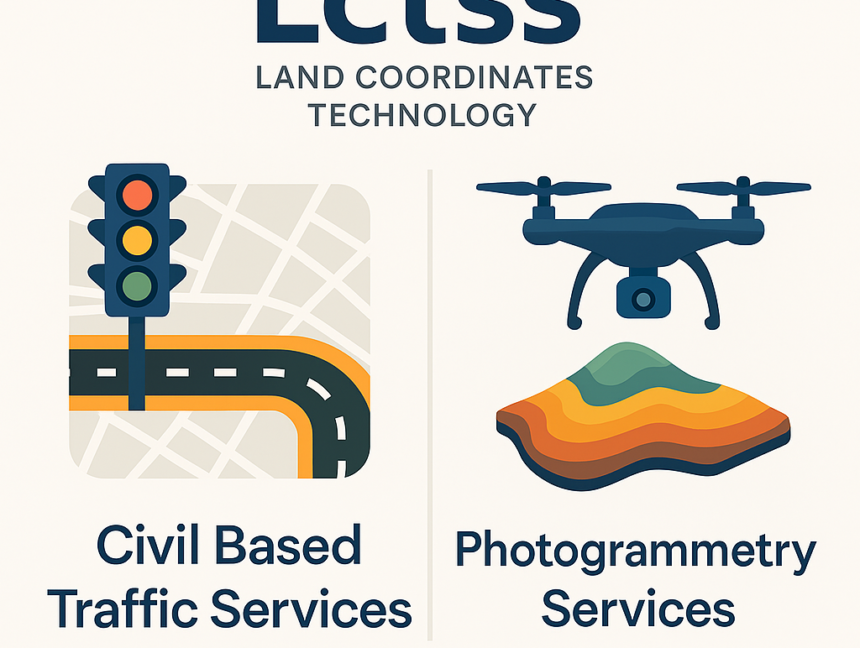
Author:

How Land Surveyors in Kerala Use Advanced Land Coordinates Technology
  • No Comments

How Land Surveyors in Kerala Use Advanced Land Coordinates Technology

In recent years, advancements in land surveying have reshaped how property boundaries and topographies are mapped. Among the leading players in this transformation are Land Coordinates Technology and its subsidiary LCTSS, who have redefined the role of land surveyors in Kerala by implementing cutting-edge land coordinates technology. This technology has set a new benchmark in

  • No Comments

Civil-Based Traffic Services in Kerala: Revolutionizing Land Coordinates Technology

In today’s world, efficient traffic management and accurate land mapping are becoming increasingly critical, especially as cities expand and the demand for infrastructure and development grows. Kerala, known for its scenic landscapes and rapid urbanization, has seen an increasing need for advanced solutions to manage its traffic and land coordination systems. One company that is

  • No Comments

Boost Land Survey Accuracy with GPR Mapping Services in Kerala by Land Coordinates Technology

Land surveying has evolved significantly in recent years, with technological advancements improving the accuracy and efficiency of land measurement and mapping. One of the most innovative technologies currently revolutionizing land surveys in Kerala is Ground Penetrating Radar (GPR) mapping services. GPR provides unmatched precision in detecting subsurface features, making it an invaluable tool in land

  • No Comments

Top GIS Mapping Services in Kerala: Revolutionizing Land Coordinates Technology

In today’s world, where precision is the key to successful land management and urban planning, Geographic Information System (GIS) mapping services have become indispensable. Kerala, with its diverse terrain and unique geographic challenges, is a state that greatly benefits from advanced GIS mapping technologies. At the forefront of this revolution is Land Coordinates Technology, a