


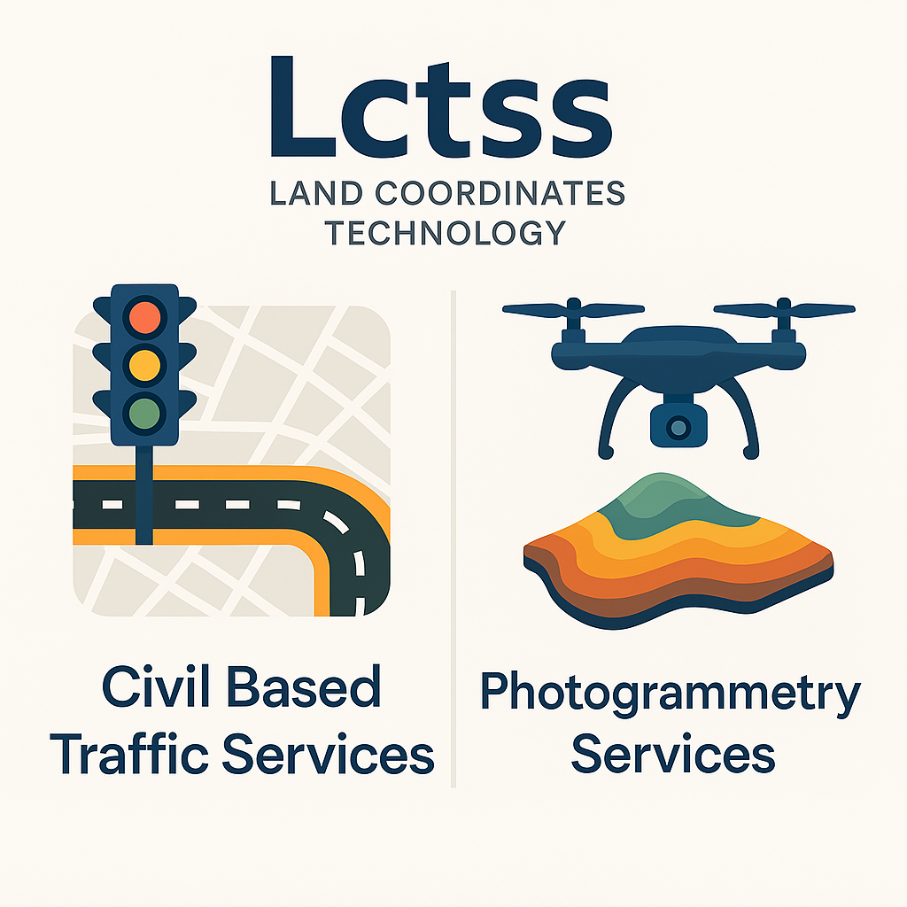
Urban growth and increasing population density demand smarter and more efficient infrastructure planning. At Land Coordinates Technology (Lctss), we provide cutting-edge Civil Based Traffic Services and Photogrammetry Services to empower government bodies, engineering firms, infrastructure developers, and urban planners with the tools they need to design better, safer, and more efficient environments.
Table of Contents
ToggleCivil Based Traffic Services are specialized civil engineering solutions that focus on analyzing and optimizing road networks, traffic flow, and transportation systems. These services are essential for creating sustainable urban spaces, reducing congestion, improving public safety, and enhancing transportation efficiency.
Traffic Impact Assessment (TIA)
Signal Timing and Optimization
Road Safety Audits
Pedestrian and Non-Motorized Traffic Studies
Intelligent Transportation Systems (ITS) Integration
Intersection Design and Geometric Improvements
Traffic Simulation and Modeling
Parking and Loading Studies
Accident Data Analysis and Black Spot Identification
At Land Coordinates Technology, our traffic engineering team combines traditional traffic analysis with the latest technology in GIS mapping, remote sensing, and simulation software to deliver precise, data-backed recommendations. We tailor our approach to match the geographic, demographic, and economic conditions of each project area, ensuring reliable outcomes and long-term usability.
Photogrammetry is the science of capturing accurate measurements and 3D models from photographs, especially aerial imagery. With the help of UAV/Drone technologies, high-resolution cameras, and specialized software, photogrammetry plays a vital role in surveying, mapping, and infrastructure development.
At Lctss, our Photogrammetry Services provide accurate geospatial data to support urban planning, construction, and land development projects.
Aerial Surveying using UAVs/Drones
3D Mapping and Modeling
Orthophoto Generation
Topographic Mapping
Volumetric Analysis (Cut/Fill)
Digital Surface Models (DSM) and Digital Terrain Models (DTM)
Contour Mapping
Change Detection Studies
Urban and Rural Infrastructure Mapping
Asset Mapping and Monitoring
These two services are often integrated to maximize project efficiency, especially in large-scale urban and infrastructure developments. Below are a few key applications where Lctss has delivered exceptional value:
Integrating photogrammetric data with traffic analysis helps urban developers visualize current land use, simulate future development, and plan for smarter transport systems.
Our civil traffic studies help in designing safe, effective roadways. Meanwhile, photogrammetry aids in collecting accurate terrain and elevation data, saving time and resources.
Both services contribute to identifying the best alignment for rail and metro projects with minimal environmental impact and optimal traffic integration.
With detailed terrain models and traffic flow simulations, emergency routes can be planned efficiently to minimize casualties during crises.
Photogrammetry provides the foundation for 3D site modeling, while traffic services ensure the new development does not overload existing transport infrastructure.
At Lctss, we leverage modern surveying and modeling tools such as:
Drones with High-Resolution Cameras
LiDAR Integration
Pix4D, Agisoft Metashape, and Global Mapper for Photogrammetry
AutoCAD Civil 3D, VISSIM, SYNCHRO, and TransCAD for Traffic Modeling
GIS Software for Spatial Analysis and Mapping
✅ Expert Team of Civil Engineers, Traffic Analysts & GIS Specialists
✅ Advanced Equipment and Latest Photogrammetry Techniques
✅ Client-Centric Approach to Custom Solutions
✅ Pan-India Presence with Successful Projects Across Multiple States
✅ Quality-Driven with Emphasis on Accuracy, Timeliness, and Cost-Efficiency
Urban Planning Authorities
Road & Highway Departments
Municipal Corporations
Metro Rail Authorities
Private Infrastructure Developers
Transportation & Logistics Firms
Civil Engineering Consultants
Environmental and Disaster Management Units
Combining traffic services with photogrammetry allows for highly accurate data collection, better traffic simulations, and holistic planning that accounts for terrain, elevation, and existing infrastructure.
Modern photogrammetry, especially using UAVs and high-resolution cameras, can achieve sub-centimeter accuracy when processed correctly. It is efficient, fast, and suitable for large or difficult-to-access areas.
We use industry-standard software such as VISSIM, SYNCHRO, and TransCAD for detailed traffic modeling and simulations.
Yes, with UAVs and ground control points (GCPs), photogrammetry can be conducted even in busy city areas to produce detailed urban 3D maps.
We gather data on traffic volume, road width, peak hour flow, pedestrian movement, nearby land use, and accident history to assess how a project might affect local traffic conditions.
Our team inspects the site physically and virtually using aerial imagery and field data to assess visibility, road design, signage, lighting, and accident-prone zones.
Absolutely. It’s ideal for mapping large areas quickly and accurately, making it perfect for highway construction, township planning, and urban development.
It depends on the project size, but typically, we provide photogrammetric maps and civil traffic analysis reports within 7 to 20 working days.
Yes. All our traffic and mapping reports are prepared following the latest IRC standards, MoRTH guidelines, and local municipal requirements.
Yes, we support our clients with detailed documentation, data analysis, and drawings required for approval in municipal and governmental processes.
At Lctss, we believe in unlocking the future of urban development through precise engineering and innovation. Our Civil Based Traffic Services and Photogrammetry Services are designed to meet the unique challenges of modern infrastructure development in India.
Whether you’re a government body, private developer, or consulting firm, we are here to bring accuracy, clarity, and efficiency to your project.
Land Coordinates Technology (Lctss)
📞 Phone: +91 9841804241
📧 Email: lctsurveyins@gmail.com
🌐 Website: https://www.lctss.in/
📍 Locations: Chennai | Trichy | Bangalore | Kerala | Andhra Pradesh | More…
Precision is our foundation. Innovation is our vision.