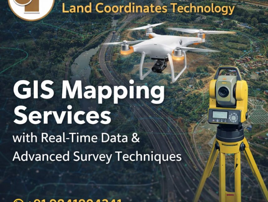
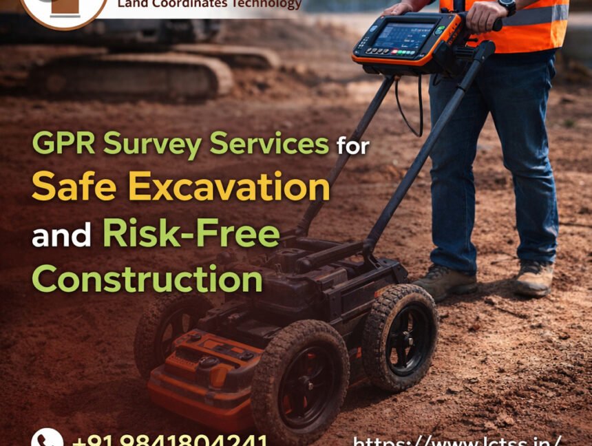
Author:

Photogrammetry Training Uses for Civil Engineers & GIS Professionals
  • No Comments

Photogrammetry Training Uses for Civil Engineers & GIS Professionals

Photogrammetry Training Uses for Civil Engineers & GIS Professionals Photogrammetry training has become an essential skill set for civil engineers and GIS professionals as infrastructure development, smart city planning, and geospatial data accuracy continue to evolve rapidly. At LCTSS (Land Coordinates Technology), photogrammetry training is designed to bridge the gap between traditional surveying methods and

  • No Comments

Learn GIS Like a Pro – Professional GIS Course Online & Offline

Learn GIS Like a Pro – Professional GIS Course Online & Offline Geographic Information Systems (GIS) have become a core technology in modern surveying, urban planning, infrastructure development, environmental studies, and geospatial analysis. As industries increasingly rely on spatial data for accurate decision-making, the demand for skilled GIS professionals continues to grow rapidly across India

  • No Comments

SLAM LiDAR Course Uses in Land Surveying – Skills for Future Surveyors

SLAM LiDAR Course Uses in Land Surveying – Skills for Future Surveyors The land surveying industry is undergoing a major technological shift, driven by the growing demand for speed, accuracy, and digital data integration. Traditional surveying methods, while still relevant, often struggle to meet the requirements of complex environments such as dense urban areas, indoor

  • No Comments

Why Advanced Land Surveyor Courses Are Essential for Today’s Surveying Professionals

Why Advanced Land Surveyor Courses Are Essential for Today’s Surveying Professionals The land surveying industry has evolved rapidly over the last decade, driven by advancements in technology, large-scale infrastructure development, smart city initiatives, and stricter regulatory requirements. Traditional surveying knowledge alone is no longer sufficient to meet the accuracy, efficiency, and data integration demands of