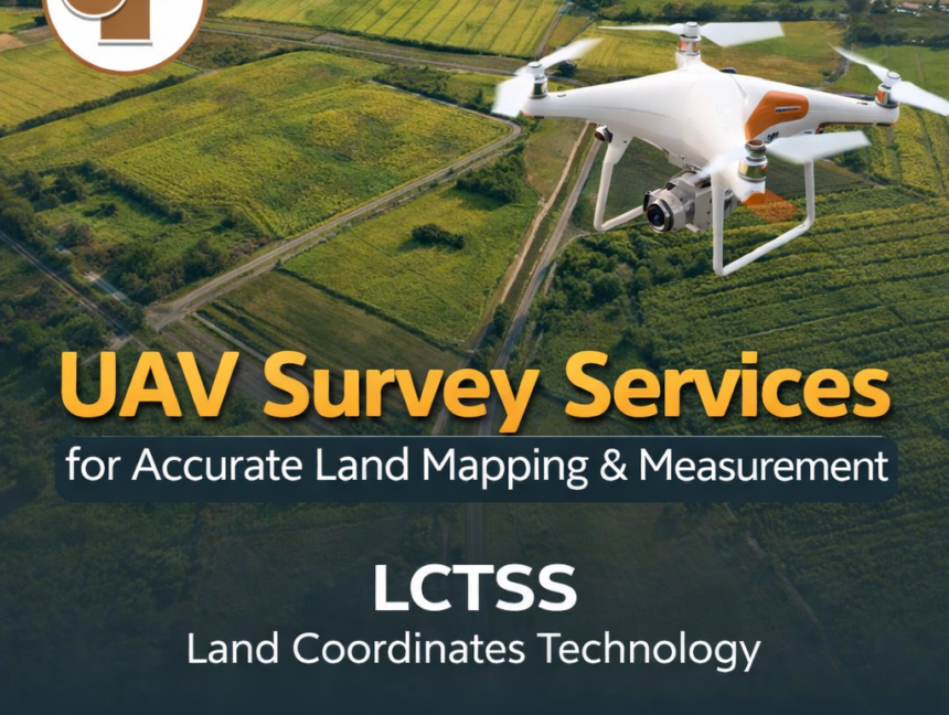
UAV Survey Services for Accurate Land Mapping & Measurement
UAV Survey Services for Accurate Land Mapping & Measurement by LCTSS (Land Coordinates Technology) deliver a modern, efficient, and highly precise approach to land surveying and geospatial data collection. By integrating advanced unmanned aerial vehicle (UAV) technology with proven surveying methodologies, LCTSS provides accurate land mapping solutions that meet the evolving needs of construction, infrastructure