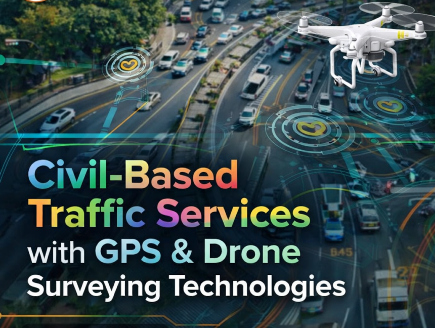
Blog

Civil Engineering Surveying – Accurate Land & Site Survey Solutions by Lctss
  • No Comments

Civil Engineering Surveying – Accurate Land & Site Survey Solutions by Lctss

Introduction Every successful construction project starts with a strong foundation—and that foundation begins with accurate surveying. From highways and bridges to residential layouts and industrial complexes, Civil Engineering Surveying plays a critical role in ensuring precision, safety, and cost efficiency. At Lctss (Land Coordinates Technology), we specialize in delivering Accurate Land & Site Survey Solutions

  • No Comments

CAD Draftsman Training Course – Learn Professional Drafting & Design Skills

In today’s fast-paced construction and design industry, CAD (Computer-Aided Design) drafting has become an essential skill. From architecture, civil engineering, and mechanical design to electrical layouts and interior planning, CAD Draftsmen play a crucial role in bringing ideas to life. If you are looking to start or upgrade your career in the construction and design

  • No Comments

Civil Draughtsman Training Course – Start Your Career in Construction Design

The construction industry is one of the fastest-growing sectors in India and across the globe. With urban development, infrastructure projects, and smart city initiatives on the rise, the demand for skilled professionals is increasing rapidly. Among them, civil draughtsmen play a vital role in bridging the gap between engineers, architects, and construction teams. At Lctss

  • No Comments

LiDAR Professional Training – Master 3D Mapping & Surveying Skills

The world of land surveying and geospatial technology is rapidly evolving, and LiDAR (Light Detection and Ranging) has emerged as one of the most powerful tools for accurate mapping, terrain modeling, and 3D data acquisition. At Lctss (Land Coordinates Technology), we provide LiDAR Professional Training designed to help surveyors, civil engineers, GIS specialists, and geospatial