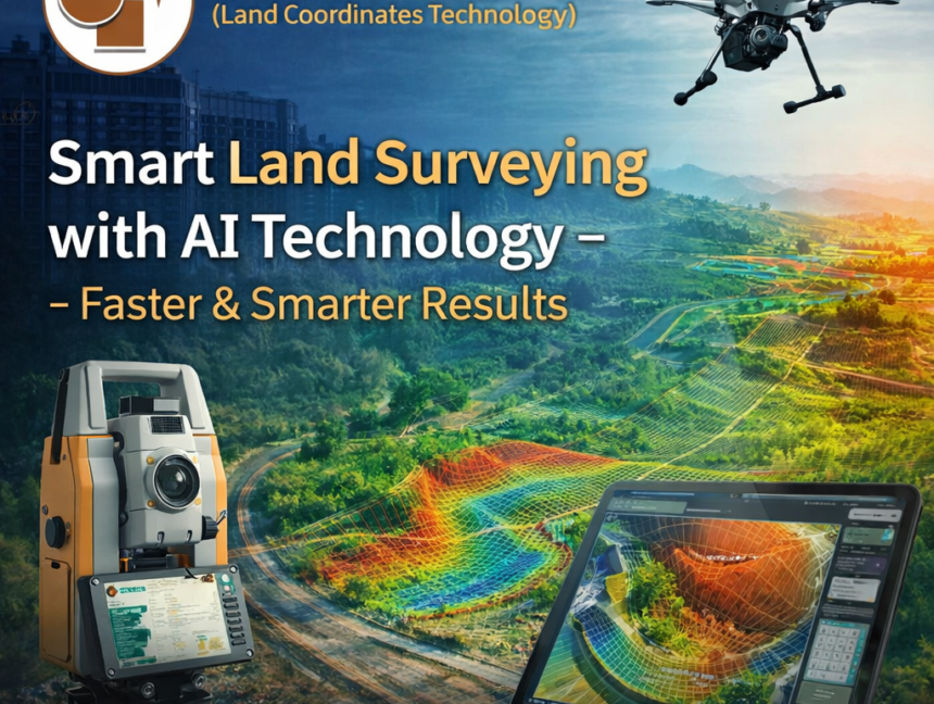
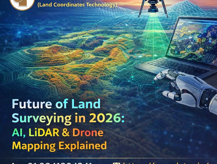
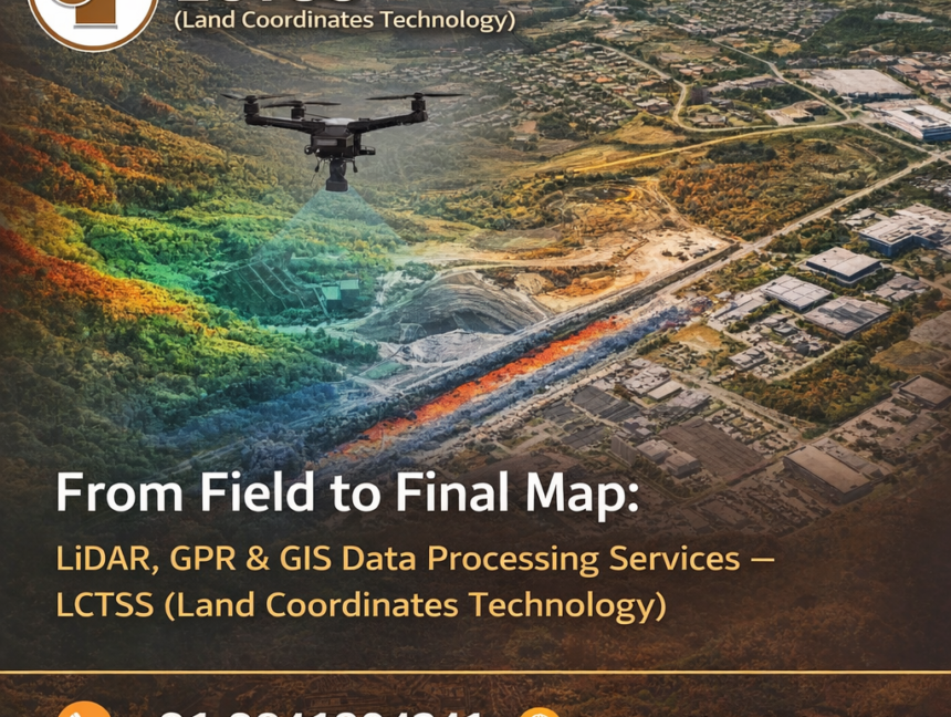
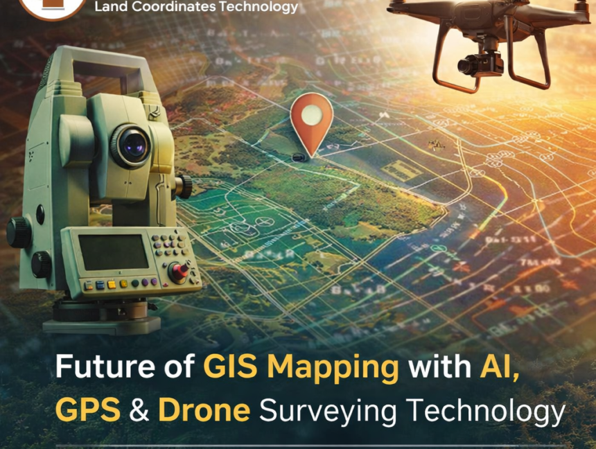
Blog

Professional Land Surveyors – Lctss (Land Coordinates Technology)
  • No Comments

Professional Land Surveyors – Lctss (Land Coordinates Technology)

Introduction When it comes to land surveying, precision, experience, and the use of advanced technology are crucial. At Lctss (Land Coordinates Technology), we pride ourselves on being a trusted name in professional land survey services across Tamil Nadu, Kerala, Karnataka, and other regions of South India. Whether you’re developing infrastructure, purchasing property, or planning large-scale

  • No Comments

Civil Traffic Design Services for Land Survey – Expert Solutions by Lctss

In today’s rapidly urbanizing world, effective civil traffic design services are crucial to creating sustainable, efficient, and safe transportation infrastructure. At Lctss (Land Coordinates Technology), we specialize in offering comprehensive civil traffic design services integrated with precise land surveying for projects across Tamil Nadu, Kerala, and Karnataka. Our advanced technical solutions ensure that every civil

  • No Comments

Ground Penetrating Radar Survey in India – GPR Survey Services for Land Survey by Lctss

In today’s fast-evolving infrastructure and development landscape, understanding what’s beneath the surface is just as critical as what’s above it. That’s where Ground Penetrating Radar (GPR) survey services come into play. As one of India’s leading land survey companies, Lctss (Land Coordinates Technology) offers advanced GPR survey services for land survey projects across diverse industries.

  • No Comments

Professional GIS Mapping Services for Land Survey – Lctss (Land Coordinates Technology)

Introduction to GIS Mapping Services In today’s technology-driven landscape, accurate land survey data plays a crucial role in planning, development, and resource management. Geographic Information System (GIS) mapping services offer a powerful tool for collecting, analyzing, and visualizing spatial data. At Lctss (Land Coordinates Technology), we specialize in professional GIS mapping services for land surveys,