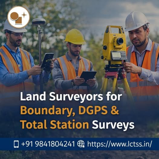
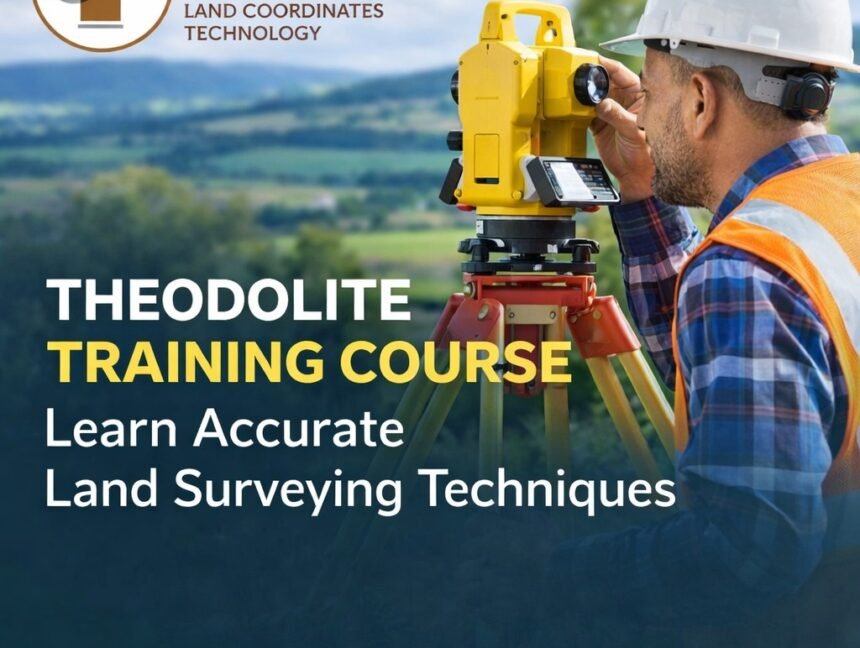
Blog

Enhance Urban Planning with Civil Based Traffic Services and Photogrammetry Services by LCTSS (Land Coordinates Technology)
  • No Comments

Enhance Urban Planning with Civil Based Traffic Services and Photogrammetry Services by LCTSS (Land Coordinates Technology)

Urban growth and increasing population density demand smarter and more efficient infrastructure planning. At Land Coordinates Technology (Lctss), we provide cutting-edge Civil Based Traffic Services and Photogrammetry Services to empower government bodies, engineering firms, infrastructure developers, and urban planners with the tools they need to design better, safer, and more efficient environments. What Are Civil

  • No Comments

GIS Mapping Services and GPR Survey Services by Land Coordinates Technology (LCTSS)

Introduction In today’s fast-evolving world, GIS Mapping Services and GPR Survey Services have become crucial for various industries, including construction, environmental studies, utility mapping, and urban planning. At Land Coordinates Technology (LCTSS), we provide high-precision GIS Mapping and Ground Penetrating Radar (GPR) Survey Services to help businesses and government agencies make data-driven decisions with accuracy

  • No Comments

Advanced LiDAR Scanning Services & Data Production for LCTSS (Land Coordinates Technology)

Introduction LiDAR (Light Detection and Ranging) technology has revolutionized the way land surveying and geospatial data collection are performed. With advanced LiDAR scanning services, industries such as construction, forestry, urban planning, and infrastructure development can achieve highly accurate 3D mapping and modeling. At LCTSS (Land Coordinates Technology Surveying Services), we provide cutting-edge LiDAR data production

  • No Comments

Lctss (Land Coordinates Technology): Leading the Way in Advanced Land Surveying Services

In the ever-evolving world of construction, development, and infrastructure planning, precision and accuracy are paramount. Lctss (Land Coordinates Technology) offers comprehensive Land Surveying Services and Civil Engineering Surveying Services designed to meet the needs of a wide range of clients. By utilizing cutting-edge technology and industry expertise, Lctss ensures precise measurements, reliable data, and seamless