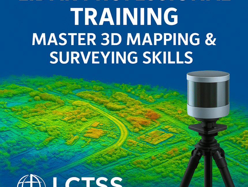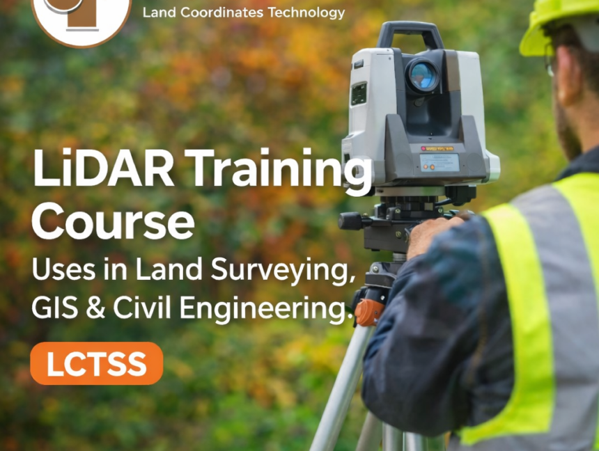
LiDAR Training Course Uses in Land Surveying, GIS & Civil Engineering
LiDAR Training Course Uses in Land Surveying, GIS & Civil Engineering LiDAR (Light Detection and Ranging) technology has become one of the most transformative tools in the fields of land surveying, GIS, and civil engineering. With the increasing demand for high-accuracy spatial data, faster project execution, and advanced 3D analysis, professionals equipped with LiDAR skills