


Table of Contents
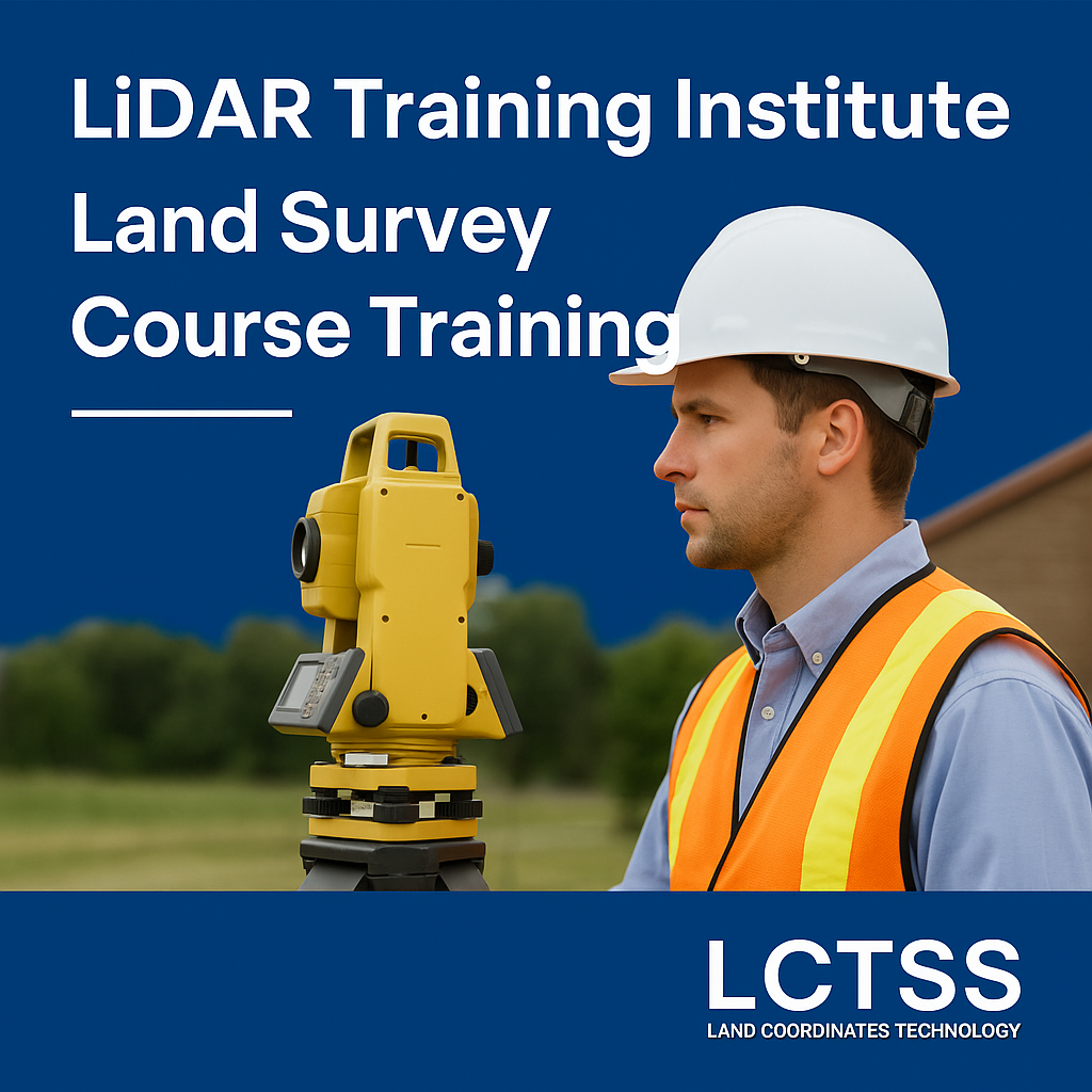
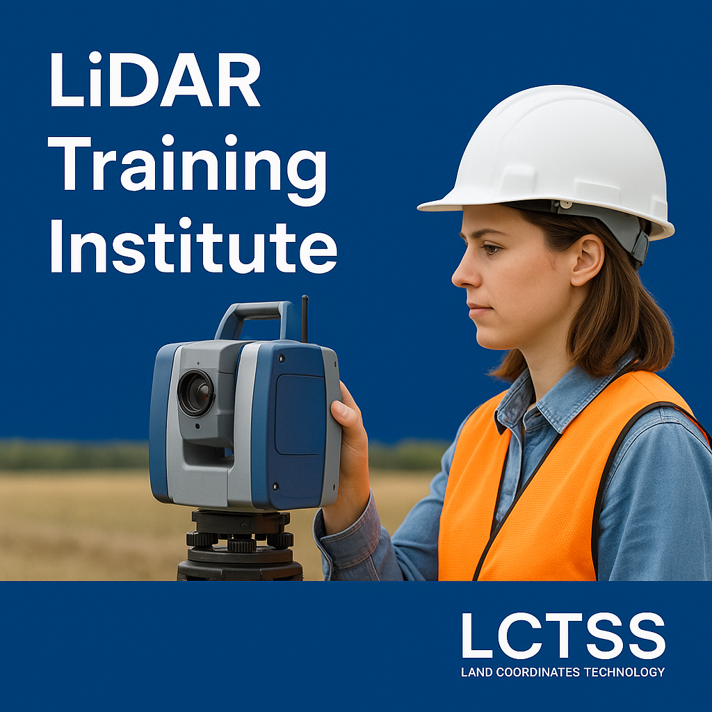
ToggleLand Coordinates Technology (LCTSS) is a premier training institute dedicated to providing world-class education and hands-on training in LiDAR technology and land survey course training. As the demand for skilled geospatial professionals continues to rise, our programs are designed to equip students, professionals, and organizations with the technical expertise and practical skills required to excel in the geospatial, infrastructure, and environmental sectors.
At LCTSS, we believe that innovation and precision are the cornerstones of modern surveying. We offer a structured curriculum that balances theoretical knowledge with field-based applications. Whether you’re a beginner, a professional surveyor seeking to upgrade your skills, or a government/enterprise client looking to train your team, LCTSS has a solution tailored for your needs.
Experienced Industry Trainers
State-of-the-art Surveying Equipment
Hands-on Field Training
ISO-Certified Curriculum
Flexible Learning Modes (On-site, Online, Hybrid)
Placement Assistance and Career Support
LiDAR (Light Detection and Ranging) is revolutionizing the way we understand and map terrain. Our LiDAR training institute provides in-depth technical knowledge on LiDAR systems, data collection, processing, and analysis.
Fundamentals of LiDAR Technology
Terrestrial, Aerial, and Mobile LiDAR Systems
Point Cloud Data Acquisition and Management
Software Tools like LAStools, ArcGIS, Global Mapper
DEM/DTM Generation and Feature Extraction
Applications in Forestry, Urban Planning, Mining, and Infrastructure
Basic Course: 2 Weeks
Advanced Course: 4-6 Weeks
Custom Corporate Training: As per requirement

Our land survey course training covers both traditional and modern surveying techniques, integrating instruments like Total Stations, GPS, GNSS, UAVs, and digital levels.
Basics of Surveying and Geodesy
Use of Total Station and Theodolite
GPS and GNSS Technology in Land Surveying
Leveling and Contouring Techniques
AutoCAD for Surveyors
Survey Data Processing and Reporting
Civil Engineering Students & Graduates
Surveying Technicians and Field Assistants
GIS & Remote Sensing Professionals
Government Survey Staff
Real Estate & Infrastructure Developers
Graduates of our programs go on to work in sectors such as:
Urban Planning & Smart Cities
Highways & Railways Projects
Infrastructure Development
Environmental Monitoring
Mining & Resource Management
Disaster Management & Recovery Planning
Hardware: Total Station, GNSS Receivers, Drones, Laser Scanners
Software: AutoCAD, QGIS, ArcGIS, Pix4D, Global Mapper, Civil 3D, LiDAR360
On successful completion of the program, students receive an industry-recognized certificate from LCTSS, validating their expertise and enhancing their employability. Our placement cell works with leading surveying firms, GIS companies, and government departments to connect our students with relevant job opportunities.
Classroom Training – at our modern facility
On-Site Training – at your project location
Online Instructor-Led Classes
Hybrid Learning Models
“LCTSS’s LiDAR training gave me the confidence to handle high-end projects independently. Their instructors are industry veterans who share real-world insights.”
— Rajesh P., Survey Technician
“I had basic surveying knowledge, but the Land Survey Course at LCTSS took my career to a whole new level. The practical sessions were incredibly valuable.”
— Anjali R., Civil Engineer
A LiDAR training institute offers specialized education and hands-on training in Light Detection and Ranging (LiDAR) technology, focusing on data acquisition, processing, and analysis.
LiDAR is widely used in engineering, mapping, forestry, and urban planning. Proper training ensures accurate data handling and efficient project execution.
The course covers fundamentals of surveying, Total Station, GPS, GNSS, leveling, contouring, AutoCAD, and survey data processing.
Civil engineers, geospatial professionals, students, government staff, and anyone interested in land surveying and geotechnology.
Yes, participants receive an industry-recognized certificate from LCTSS upon course completion.
Yes, LCTSS provides career guidance and connects candidates with job opportunities through our industry network.
You’ll work with Total Stations, GPS/GNSS receivers, LiDAR scanners, drones, and modern software tools.
Yes, we offer online instructor-led classes as well as hybrid learning models.
Course durations range from 2 weeks (basic) to 6 weeks (advanced), depending on the chosen module.
LCTSS has training centers in major cities and also offers on-site corporate training. Contact us to find the nearest location.
Join the next generation of surveying professionals by enrolling in our LiDAR Training Institute and Land Survey Course Training programs. Gain the knowledge, skills, and confidence to succeed in a competitive and rapidly evolving field.
📞 Call Us: +91 9841804241
🌐 Visit: www.lctss.com
📧 Email: lctsurveyins@gmail.com