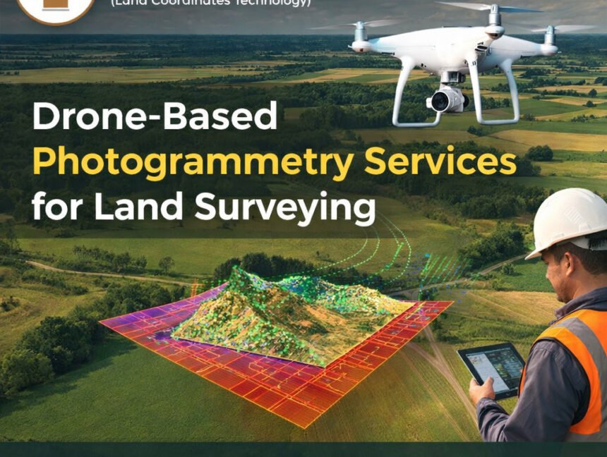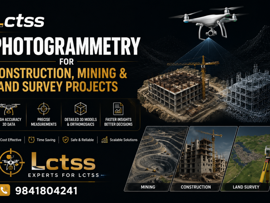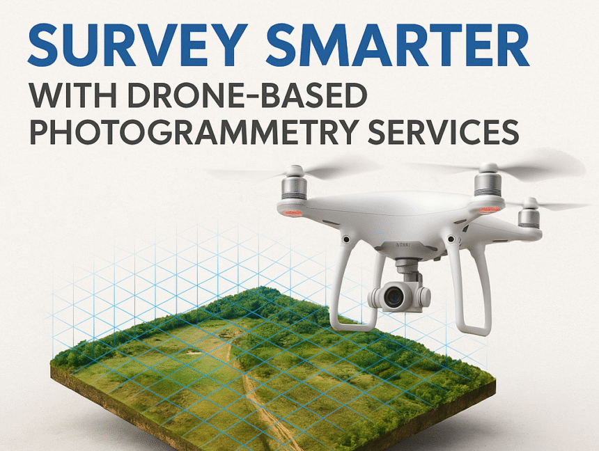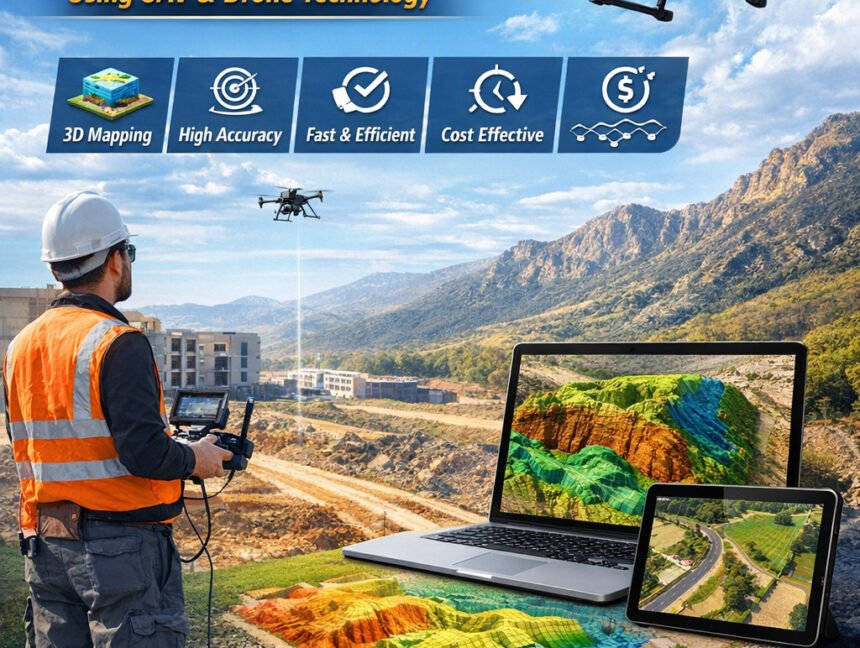
Photogrammetry Survey Services Using Advanced UAV & Drone Technology
Photogrammetry Survey Services Using Advanced UAV & Drone Technology Photogrammetry survey services have become an essential part of modern land surveying, construction planning, and infrastructure development. With the rapid advancement of UAV and drone technology, surveyors can now collect highly accurate spatial data faster and more efficiently than traditional methods. Lctss (Land Coordinates Technology) is