From Field to Final Map: LiDAR, GPR & GIS Data Processing Services
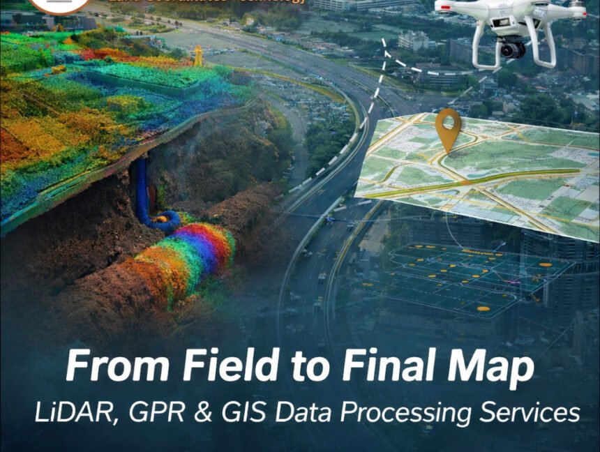
From Field to Final Map: LiDAR, GPR & GIS Data Processing Services In today’s fast-evolving infrastructure and geospatial industry, accurate data is the backbone of every successful project. From construction planning to urban development and environmental monitoring, the journey from raw field data to a refined, decision-ready map requires expertise, advanced technology, and precision. Lctss