




Table of Contents
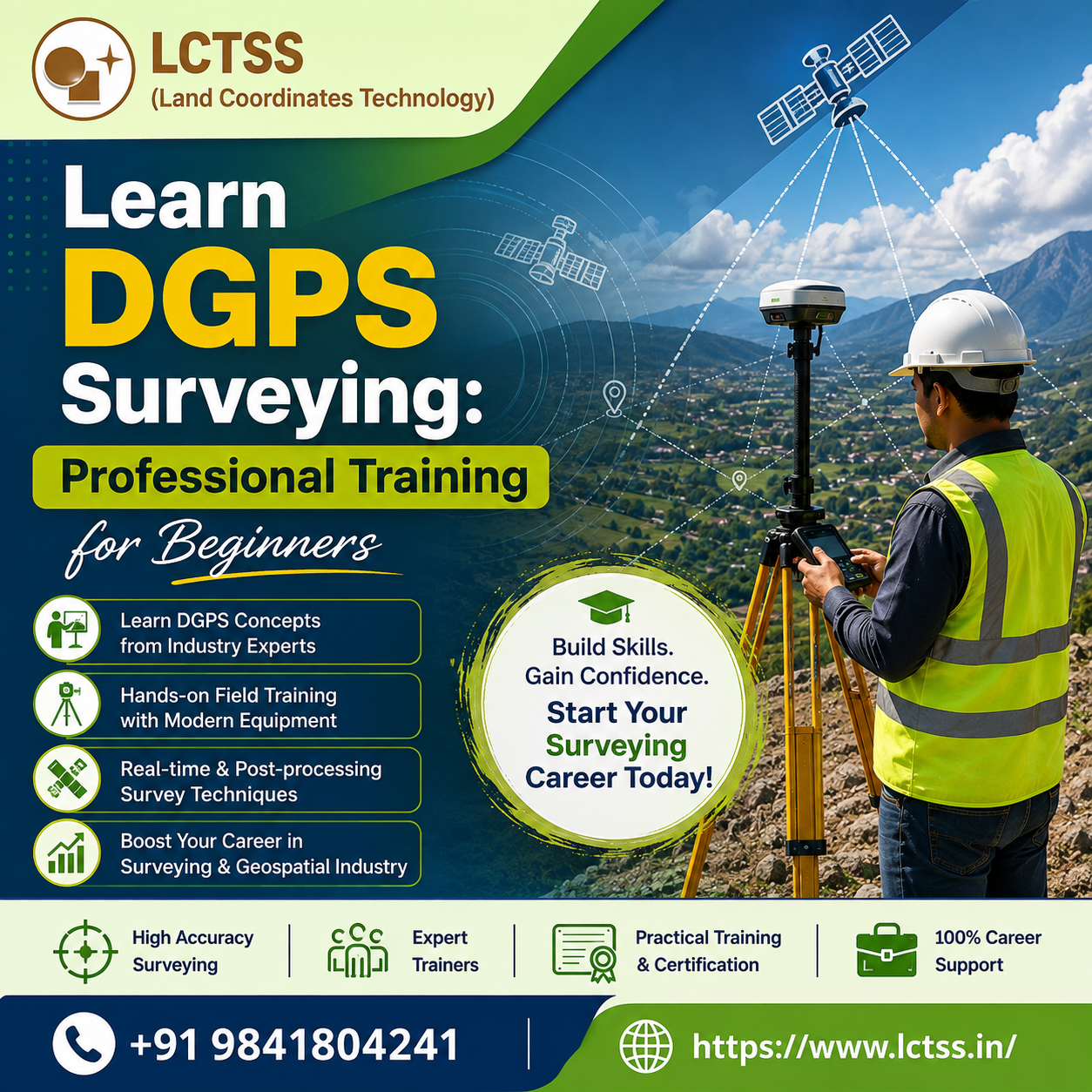
ToggleDGPS (Differential Global Positioning System) surveying has become one of the most reliable and accurate methods for collecting geospatial data across various industries. From construction and infrastructure development to road projects, mining, agriculture, utility mapping, and land administration, DGPS technology plays a vital role in ensuring high-precision positioning and mapping. If you are planning to build a successful career in surveying, civil engineering, or GIS, enrolling in a professional DGPS surveyor training program is the ideal first step. LCTSS (Land Coordinates Technology) offers a comprehensive Learn DGPS Surveying: Professional Training for Beginners course designed to provide students, fresh graduates, and working professionals with practical knowledge and industry-oriented skills.
The training program at LCTSS is carefully designed to bridge the gap between theoretical concepts and real-world surveying applications. Beginners often find DGPS technology challenging because of its advanced satellite positioning techniques and field operations. However, experienced trainers at LCTSS simplify every concept by combining classroom sessions with extensive hands-on field practice. Students gain confidence in setting up DGPS equipment, collecting accurate field data, understanding coordinate systems, and processing survey information using professional software. The course focuses on practical learning so that participants become job-ready by the end of the training.
Unlike traditional GPS systems, DGPS provides centimeter-level accuracy by correcting positioning errors using reference stations. This makes it the preferred choice for engineering surveys, boundary surveys, topographic mapping, highway alignment, railway projects, and urban planning. Throughout the course, learners understand how satellite signals are received, corrected, and processed to produce highly accurate survey results. By mastering these techniques, students develop the confidence to work on complex surveying projects that demand precision and reliability.
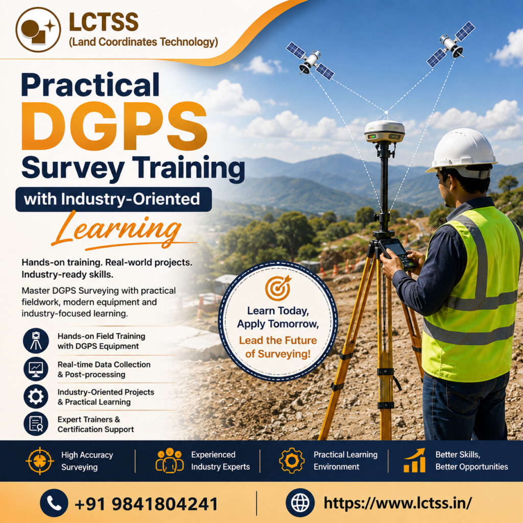
LCTSS emphasizes practical education because employers in the surveying industry seek professionals who can operate equipment efficiently in real project environments. The DGPS Surveyor Training program provides extensive field sessions where students learn to assemble survey instruments, configure base and rover stations, establish control points, and perform real-time and post-processing surveys. Every practical exercise is supervised by experienced industry professionals who explain best practices followed in infrastructure and land development projects.
The curriculum covers the complete workflow of DGPS surveying, beginning with planning a survey and ending with generating accurate maps and reports.
Participants learn about coordinate systems, map projections, datum transformations, satellite constellations, error sources, accuracy assessment, and quality control techniques. They also gain practical exposure to collecting field observations under different environmental conditions and understanding how terrain, weather, and satellite geometry influence survey accuracy.
Modern surveying projects require professionals who can integrate DGPS data with digital mapping software. Therefore, LCTSS introduces learners to data downloading, processing, coordinate correction, report generation, and exporting survey information into GIS and CAD platforms. This integrated approach enables students to understand how field-collected data supports engineering design, planning, construction, and asset management. The ability to combine DGPS with GIS and CAD significantly enhances career opportunities across multiple industries.
Safety procedures and professional field practices are also emphasized throughout the training. Participants learn proper equipment handling, field documentation, survey planning, and troubleshooting common issues encountered during data collection. These practical skills help learners perform surveys efficiently while maintaining the accuracy standards expected in professional projects.
The demand for skilled DGPS surveyors continues to increase as governments and private organizations invest heavily in infrastructure development, transportation networks, smart cities, renewable energy projects, mining, utilities, and urban expansion. Organizations require trained professionals who can collect accurate spatial data for planning, construction, and maintenance activities. Completing professional DGPS Surveyor Training from LCTSS equips learners with the technical knowledge required to meet these industry demands.
Graduates can pursue careers as DGPS Surveyors, Land Surveyors, Engineering Surveyors, GIS Survey Technicians, Mapping Specialists, Construction Survey Assistants, Utility Surveyors, Highway Surveyors, Railway Survey Technicians, Mining Surveyors, Infrastructure Survey Professionals, and Geospatial Data Collection Specialists. Civil engineering companies, survey consulting firms, government departments, GIS organizations, infrastructure developers, renewable energy companies, telecom projects, and environmental agencies frequently recruit professionals with practical DGPS surveying experience.
The training also benefits civil engineering students who wish to strengthen their technical skills before entering the workforce. Professionals already working in surveying can upgrade their knowledge by learning modern DGPS technologies that are increasingly replacing conventional surveying methods. Since the course combines theory with practical implementation, participants become more competitive in the job market and improve their employment prospects.
LCTSS also encourages students to understand emerging technologies that complement DGPS surveying, including UAV drone surveying, GIS mapping, Total Station surveying, LiDAR scanning, and digital terrain modeling. This multidisciplinary exposure helps learners adapt to evolving industry requirements and prepares them for advanced surveying roles. As surveying technology continues to advance, professionals with diverse technical skills are highly valued by employers across India and internationally.
LCTSS (Land Coordinates Technology) has established itself as a trusted training institute for land surveying, GIS, mapping, CAD, and geospatial technologies. The institute focuses on delivering industry-relevant education through experienced faculty, practical learning environments, and modern surveying equipment. Every training session is designed to provide participants with real-world exposure rather than only theoretical knowledge, ensuring they develop confidence in handling professional surveying assignments.
The Learn DGPS Surveying: Professional Training for Beginners course is suitable for beginners with no prior surveying experience as well as professionals seeking to upgrade their technical expertise. The structured learning approach allows participants to gradually understand satellite positioning concepts, field survey methods, data processing techniques, and project documentation. Trainers provide individual guidance during practical sessions, helping students develop strong technical fundamentals.
LCTSS continuously updates its training curriculum to align with current industry standards and technological advancements. Students gain exposure to modern DGPS equipment, professional survey workflows, and software tools commonly used by surveying companies. This ensures that learners are prepared to meet the expectations of employers immediately after completing the program.Another major advantage of learning at LCTSS is the focus on practical project execution. Instead of limiting education to classroom presentations, participants work on real survey exercises that simulate industry conditions. This hands-on experience enables learners to understand project planning, field execution, accuracy verification, and final data delivery. Such practical exposure significantly improves confidence and professional competence.
Whether your goal is to begin a career in land surveying, enhance your civil engineering skills, transition into GIS and mapping, or become a professional geospatial surveyor, the DGPS Surveyor Training program at LCTSS provides the knowledge and practical expertise needed for long-term success. With expert trainers, advanced equipment, real-world field practice, and an industry-focused curriculum, LCTSS prepares beginners to become skilled DGPS surveying professionals capable of contributing to modern infrastructure and development projects. By mastering accurate positioning techniques and practical survey workflows, learners can build rewarding careers in one of the fastest-growing sectors of civil engineering and geospatial technology.