




Table of Contents
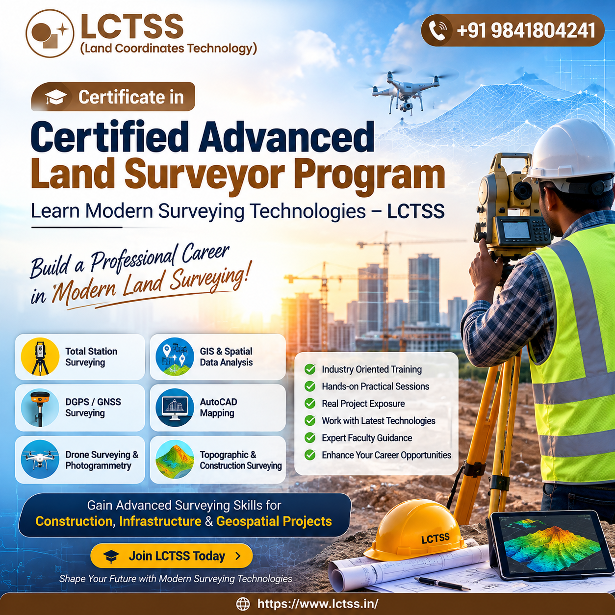
ToggleThe Certified Advanced Land Surveyor Program by LCTSS (Land Coordinates Technology) is designed for students, civil engineering professionals, surveyors, site engineers, GIS professionals, and individuals who want to build strong practical skills in modern land surveying. As construction, infrastructure development, urban planning, transportation, and real estate projects become increasingly dependent on accurate spatial information, professional land surveyors need to understand both traditional surveying principles and advanced digital technologies. This program focuses on developing industry-oriented surveying knowledge and practical capabilities that can help learners work confidently on different types of surveying projects.
Modern land surveying has evolved significantly from conventional chain surveys and manual measurements. Today, surveyors work with advanced instruments and technologies such as Total Stations, DGPS/GNSS, digital levels, GIS, CAD, drone-based surveying, 3D mapping, and other geospatial solutions. The Certified Advanced Land Surveyor Program introduces learners to these modern surveying technologies and explains how they can be applied effectively in real-world projects. Through a combination of theoretical understanding and practical exposure, participants can learn how to collect, process, analyze, and present accurate spatial data for engineering and construction applications.
LCTSS focuses on practical learning so that participants can understand how surveying activities are performed at actual project sites. The program can help learners develop an understanding of field procedures, instrument handling, coordinate systems, data collection methods, field calculations, survey documentation, and digital mapping workflows. Instead of focusing only on classroom concepts, the training approach emphasizes the relationship between field measurements, data processing, drawings, maps, and final project deliverables.
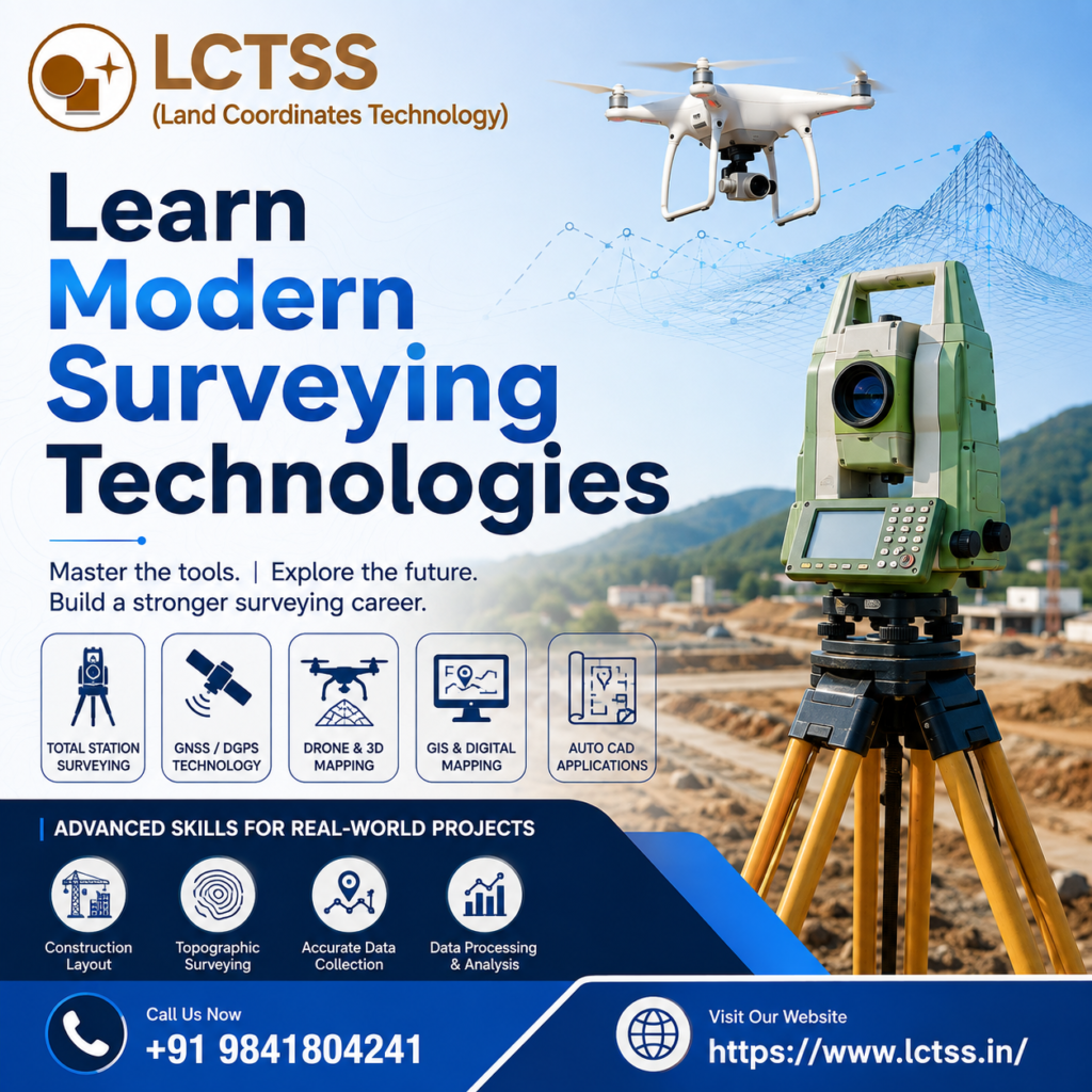
One of the major benefits of the Certified Advanced Land Surveyor Program is its focus on modern surveying instruments and technologies. Participants can learn the principles and practical applications of Total Station surveying, which is widely used for measuring angles, distances, coordinates, elevations, and other site-related information. Understanding Total Station operations can help surveyors perform activities such as topographic surveys, construction layout, boundary surveys, alignment surveys, setting out, and as-built surveys with improved efficiency.
The program also introduces learners to DGPS and GNSS surveying technologies, which provide highly accurate positioning information for various surveying and mapping applications.
Participants can understand coordinate collection, positioning principles, field observations, data management, and the use of GNSS-based workflows. These skills are valuable for projects that require accurate geographic coordinates, control points, mapping, infrastructure planning, land development, and engineering surveys.
Digital surveying also depends heavily on AutoCAD and GIS technologies for processing and presenting collected information. Through the program, learners can develop an understanding of how survey data can be transferred into CAD drawings and GIS environments. CAD skills can help surveyors prepare accurate plans, layouts, profiles, sections, and construction drawings, while GIS knowledge can support spatial data management, mapping, analysis, and visualization. Combining surveying with CAD and GIS can provide professionals with a broader skill set for modern geospatial and engineering projects.
The course also provides an introduction to emerging technologies that are transforming the surveying industry. Drone-based photogrammetry, 3D mapping, LiDAR, digital terrain modelling, and other remote sensing techniques are increasingly being used to capture large areas of information efficiently. Understanding the fundamentals of these technologies can help advanced surveyors adapt to changing industry requirements and participate in technology-driven surveying projects.
Accurate topographic surveying is another important area of modern land surveying. Topographic surveys provide information about natural and man-made features, terrain elevations, boundaries, roads, buildings, drainage systems, utilities, and other site characteristics. Surveyors use this information for construction planning, infrastructure design, land development, road projects, drainage planning, and other engineering applications. The program helps learners understand how field data can be collected systematically and converted into useful maps and digital drawings.
The Certified Advanced Land Surveyor Training Program is particularly useful for professionals who want to apply surveying knowledge to construction and civil engineering projects. Accurate surveying is essential before, during, and after construction because even small errors in measurements or positioning can affect project quality, cost, and timelines. Surveyors play an important role in transferring design information from drawings to the physical site and verifying whether construction activities are being completed according to approved plans.
Participants can develop an understanding of construction setting-out and site layout, including the positioning of foundations, columns, roads, structures, utilities, and other project components. They can learn how survey control points and coordinates are used to establish accurate positions on site. Understanding these procedures can help surveyors work more effectively with civil engineers, architects, contractors, project managers, and other technical teams.
The program can also help learners understand as-built surveying, which is used to verify the actual location and dimensions of completed construction elements. As-built survey information can be useful for project documentation, quality verification, maintenance, future expansion, and facility management. By learning how field observations are compared with design information, participants can improve their ability to identify differences and prepare accurate survey records.
Another important component of professional surveying is data processing and quality control. Collecting field measurements is only one part of a survey project. Surveyors must also check the accuracy and consistency of observations, organize field data, process coordinates, identify potential errors, and prepare final deliverables. The program encourages learners to understand the complete workflow from field data collection to final map or drawing production.
Professional surveyors may work on roads, bridges, residential developments, commercial buildings, industrial facilities, pipelines, railway projects, land development, utility projects, and infrastructure works. Each project can have different surveying requirements, but the fundamental principles of accuracy, control, coordinate management, field documentation, and quality assurance remain important. Advanced training can therefore provide a strong foundation for working across multiple sectors.
The demand for skilled land surveyors continues to grow as infrastructure development, construction, urban expansion, transportation projects, and geospatial applications increase. Organizations require professionals who can operate modern surveying instruments, understand digital workflows, interpret engineering drawings, manage spatial information, and deliver accurate survey results. The Certified Advanced Land Surveyor Program from LCTSS can help learners strengthen these capabilities and prepare themselves for modern surveying responsibilities.
This program can be beneficial for civil engineering students, diploma holders, civil engineers, land surveyors, site engineers, CAD professionals, GIS professionals, construction professionals, and working survey technicians who want to upgrade their technical knowledge. Beginners can use the program to establish a strong foundation, while experienced professionals can use it to enhance their existing surveying skills and become familiar with modern technologies.
Certification can also add value to a professional profile by demonstrating a structured learning experience in advanced land surveying. However, successful surveying work requires more than certification alone. Practical experience, attention to detail, knowledge of field safety, understanding of project requirements, and continuous learning are equally important. LCTSS aims to support learners by combining technical concepts with practical exposure and industry-relevant surveying practices.
By learning modern surveying technologies, professionals can improve their ability to work with accurate measurements, coordinate systems, digital maps, engineering drawings, and geospatial datasets. The combination of traditional surveying fundamentals and advanced digital methods can make surveyors more adaptable to the changing requirements of the construction and geospatial industries.
Choosing the Certified Advanced Land Surveyor Program – Learn Modern Surveying Technologies from LCTSS (Land Coordinates Technology) can be a valuable step for anyone looking to develop a professional career in advanced land surveying. The program provides an opportunity to understand modern instruments, digital mapping workflows, construction surveying techniques, CAD and GIS applications, and emerging geospatial technologies. With consistent practice and a commitment to accuracy, learners can build the technical confidence required to contribute effectively to modern surveying, civil engineering, construction, infrastructure, and land development projects.
LCTSS is committed to promoting practical and technology-oriented learning in surveying and geospatial fields. Through advanced training, learners can gain exposure to the tools and techniques that are shaping the future of professional surveying. Whether the goal is to begin a career as a land surveyor, upgrade existing technical skills, or expand into modern geospatial technologies, this program can provide a strong platform for professional development and continued growth.