





Table of Contents
ToggleIn the modern construction industry, accuracy and precision are essential for the successful execution of any project. From residential developments and commercial complexes to highways, bridges, and industrial facilities, reliable land surveying forms the foundation of every construction project. Lctss (Land Coordinates Technology) provides expert civil engineering land survey solutions designed to support construction professionals with accurate data, advanced technology, and comprehensive surveying services. Our commitment to precision ensures that architects, engineers, contractors, and developers can make informed decisions throughout every stage of project development.
Land surveying plays a critical role in determining property boundaries, site conditions, elevations, and terrain characteristics before construction begins. Without accurate survey information, projects may face costly delays, design errors, legal disputes, and construction challenges. At Lctss, we utilize advanced surveying equipment and modern geospatial technologies to deliver highly accurate measurements and detailed site information. Our experienced survey professionals ensure that every project starts with reliable data, helping clients reduce risks and improve overall project efficiency.
The construction industry continues to evolve with the integration of modern technologies, and land surveying is no exception. Lctss leverages state-of-the-art equipment such as Total Stations, DGPS systems, GNSS receivers, UAV drone surveys, LiDAR scanning, GIS mapping, and advanced data processing software to provide precise survey solutions. These technologies allow us to capture detailed site information quickly and accurately, enabling engineers and planners to develop effective construction strategies.
Topographic surveys are among the most important services offered by Lctss for construction projects.
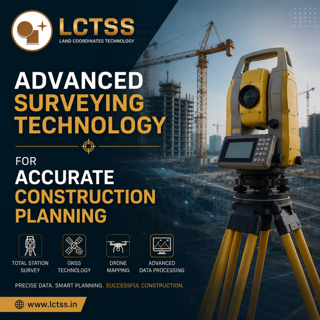
These surveys provide detailed information about the natural and man-made features present on a site, including elevations, contours, drainage systems, utilities, roads, and structures. Accurate topographic data allows engineers to design projects that align with existing site conditions, minimizing unexpected challenges during construction. Our survey experts carefully collect and process field data to create accurate maps and digital models that support engineering design and project planning.
In addition to topographic surveys, Lctss offers construction staking and setting-out services that ensure structures are built according to approved design plans. Precise positioning of foundations, columns, roads, pipelines, and other infrastructure components is critical to maintaining project accuracy. Our survey team establishes reference points and construction layouts with exceptional precision, helping contractors execute projects efficiently while meeting engineering specifications and regulatory requirements.
Every civil engineering project has unique surveying requirements, and Lctss provides customized solutions tailored to project needs. Our services support a wide range of infrastructure and development projects, including residential layouts, commercial developments, industrial facilities, transportation networks, water resource projects, utility installations, and urban planning initiatives. By combining technical expertise with advanced survey methodologies, we help clients achieve successful project outcomes.
Boundary surveys are an essential component of land development and construction planning. Accurate boundary identification helps property owners, developers, and contractors avoid legal disputes and ensure compliance with land ownership regulations. Lctss conducts detailed boundary surveys using modern instruments and verified records to establish precise property limits. This information provides a secure foundation for project planning and construction activities.
Engineering surveys are another key service provided by Lctss. These surveys support the design, construction, and maintenance of infrastructure projects by providing accurate measurements and positional data. Our engineering survey solutions assist civil engineers in determining site suitability, calculating earthwork volumes, planning utility networks, and monitoring construction progress. Accurate engineering survey data contributes significantly to project quality, safety, and cost control.
For large-scale projects requiring detailed terrain analysis, Lctss offers UAV drone surveys and LiDAR scanning services. Drone-based surveys enable rapid data collection over extensive areas, while LiDAR technology captures highly detailed three-dimensional information about the terrain and surrounding environment. These advanced survey methods improve efficiency, reduce field time, and provide valuable insights for construction planning and design optimization.
The success of any construction project depends on reliable information and careful planning. Lctss is dedicated to providing accurate land survey solutions that support informed decision-making throughout the construction lifecycle. From initial site assessment and feasibility studies to construction monitoring and final project verification, our surveying services deliver the precision required for successful project execution.
Construction projects often involve complex site conditions and challenging environments. Our experienced survey professionals possess the technical knowledge and field expertise needed to address these challenges effectively. By maintaining strict quality control standards and utilizing advanced surveying techniques, Lctss ensures that clients receive dependable results that meet industry standards and project requirements.
Safety is also a priority in every survey operation we perform. Accurate surveying helps identify potential site hazards, supports safe construction planning, and contributes to compliance with engineering and regulatory standards. Our survey data assists project teams in developing safe construction practices while minimizing risks associated with site development and infrastructure construction.
As the demand for modern infrastructure continues to grow, the need for accurate and efficient surveying solutions becomes increasingly important. Lctss remains committed to innovation, continuously adopting new technologies and methodologies that enhance survey accuracy and project efficiency. Our focus on precision, reliability, and customer satisfaction has established us as a trusted partner for civil engineering and construction projects.
Whether you are planning a residential development, commercial project, industrial facility, highway, bridge, or utility network, Lctss (Land Coordinates Technology) provides expert civil engineering land survey solutions that support every phase of construction. With advanced technology, experienced professionals, and a commitment to excellence, we help clients build with confidence, ensuring projects are completed accurately, efficiently, and successfully. Partner with Lctss to experience reliable surveying services that form the foundation of successful construction and infrastructure development.