


Table of Contents
ToggleThe field of land surveying is undergoing a remarkable transformation in 2026, driven by the integration of advanced technologies such as Artificial Intelligence (AI), LiDAR, and drone mapping. What was once a labor-intensive and time-consuming process has now evolved into a highly efficient, data-driven operation that delivers unmatched precision and speed. For industries like construction, infrastructure development, urban planning, and environmental monitoring, accurate land data is no longer optional—it is essential. Land Coordinates Technology (LCTSS) stands at the forefront of this technological revolution, offering cutting-edge surveying solutions that combine innovation, expertise, and reliability.
Traditional surveying methods relied heavily on manual measurements and ground-based instruments, which often required significant time and manpower while leaving room for human error. In contrast, modern surveying technologies have streamlined every stage of the process—from data collection to processing and final mapping. In 2026, surveyors are increasingly adopting intelligent systems that not only capture data faster but also analyze it in real-time. This shift is empowering businesses to make quicker, more informed decisions while reducing project costs and risks.
Artificial Intelligence has become a game-changer in land surveying, transforming how data is processed and interpreted. AI algorithms can analyze massive volumes of geospatial data with incredible speed, identifying patterns, anomalies, and critical insights that would be difficult for humans to detect. At Land Coordinates Technology (LCTSS), AI-driven tools are used to automate data classification, feature extraction, and error detection, ensuring that every project delivers highly accurate results.
AI also enhances predictive analysis, enabling surveyors to anticipate potential challenges before they arise. For example, in infrastructure projects, AI can assess terrain conditions and recommend optimal construction strategies.This level of intelligence not only improves efficiency but also minimizes risks associated with project delays and cost overruns. By integrating AI into surveying workflows, LCTSS provides clients with smarter solutions that go beyond basic mapping, offering actionable insights that drive success.

Another key advantage of AI in surveying is automation. Tasks that once required hours of manual effort—such as point cloud processing and image stitching—can now be completed in a fraction of the time. This allows surveyors to focus more on analysis and decision-making rather than repetitive tasks. As a result, projects are completed faster without compromising on quality.
LiDAR (Light Detection and Ranging) technology has revolutionized the way land data is captured, offering unparalleled accuracy and detail. By using laser pulses to measure distances, LiDAR systems can generate highly detailed 3D models of terrain, structures, and vegetation. In 2026, LiDAR has become an indispensable tool for applications such as topographic surveys, corridor mapping, flood analysis, and urban planning.
Land Coordinates Technology (LCTSS) leverages advanced LiDAR systems to deliver high-resolution data that meets the most demanding project requirements. Whether it is mapping dense forests, complex urban environments, or large-scale infrastructure sites, LiDAR ensures that no detail is overlooked. One of the most significant advantages of LiDAR is its ability to penetrate vegetation, allowing surveyors to capture ground data even in heavily forested areas.
The integration of LiDAR with AI further enhances its capabilities. AI algorithms can process LiDAR point clouds to automatically identify features such as buildings, roads, and elevation changes. This not only speeds up data processing but also improves accuracy and consistency. For clients, this means receiving detailed and reliable maps that can be used for planning, design, and analysis.
In addition to accuracy, LiDAR also offers efficiency. Large areas that would take days or weeks to survey using traditional methods can now be mapped in a matter of hours. This makes it an ideal solution for projects that require quick turnaround times without compromising on quality.
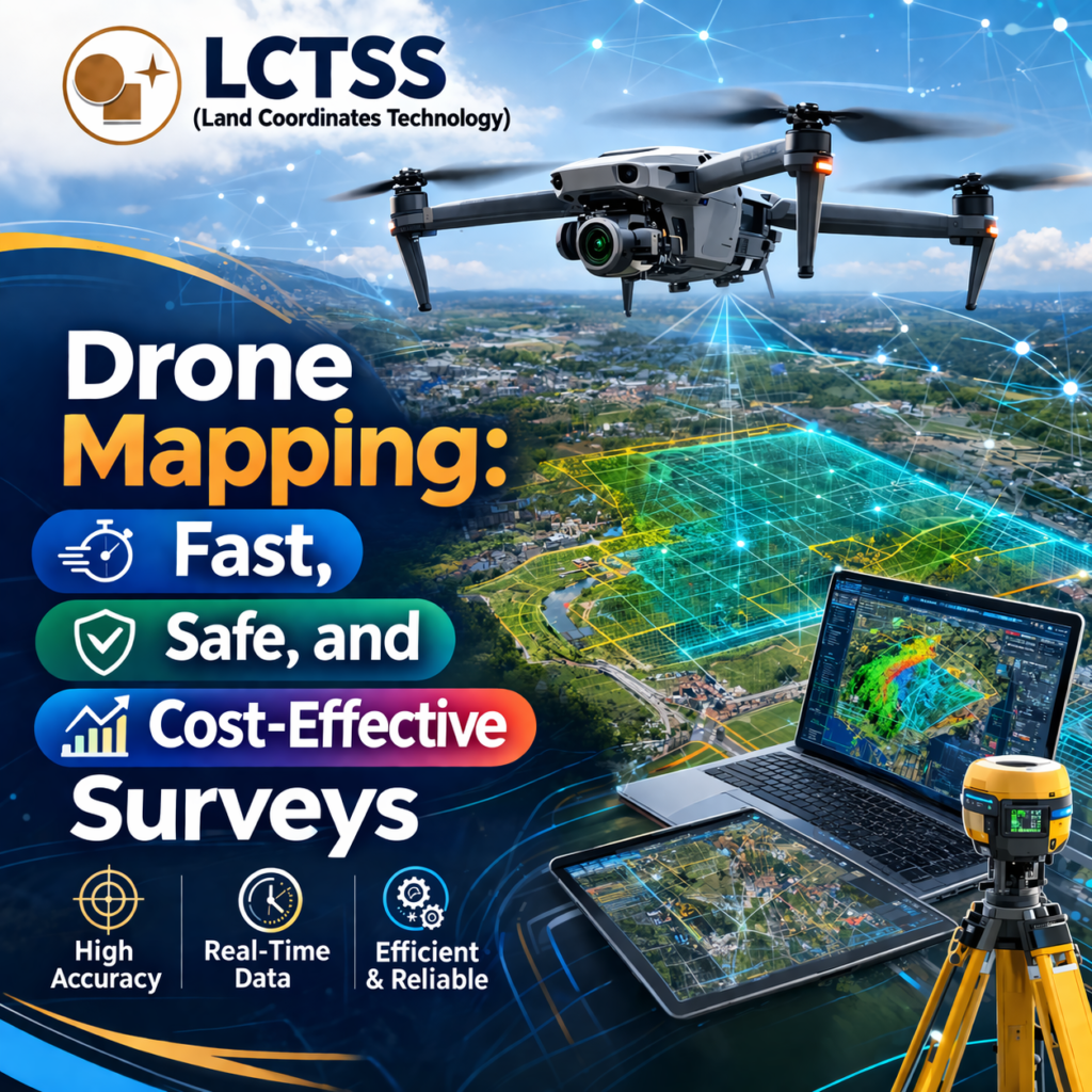
Drone technology has become a cornerstone of modern land surveying, providing a fast and flexible way to capture aerial data. Equipped with high-resolution cameras and advanced sensors, drones can cover vast areas in a short period, capturing detailed images and videos that are used to create accurate maps and models. In 2026, drone surveying is widely used across industries for its speed, safety, and cost-effectiveness.
At Land Coordinates Technology (LCTSS), drone mapping is integrated with AI and LiDAR to deliver comprehensive surveying solutions. Drones are particularly useful for accessing hard-to-reach or hazardous areas, such as construction sites, mining regions, and disaster zones. By eliminating the need for surveyors to physically enter these areas, drones significantly enhance safety while maintaining high data accuracy.
Drone mapping also supports real-time data collection and analysis. With the help of cloud-based platforms, data captured by drones can be processed and shared instantly, enabling stakeholders to monitor project progress and make informed decisions. This level of connectivity and speed is especially valuable in fast-paced industries where time is a critical factor.
Another advantage of drone surveying is its cost efficiency. By reducing the need for extensive manpower and equipment, drones help lower overall project costs. At the same time, they deliver high-quality data that meets industry standards, making them a preferred choice for modern surveying projects.
The true power of modern land surveying lies in the integration of AI, LiDAR, and drone technologies. When combined, these tools create a seamless workflow that enhances every aspect of the surveying process. Data collected by drones and LiDAR systems is processed using AI, resulting in highly accurate maps, 3D models, and actionable insights. This integrated approach not only improves efficiency but also ensures consistency and reliability across projects.
Land Coordinates Technology (LCTSS) is committed to staying ahead of industry trends by adopting the latest innovations in surveying technology. The company’s expertise in LiDAR data processing, drone surveying, and GIS mapping enables it to deliver end-to-end solutions tailored to the needs of each client. From initial data collection to final map delivery, LCTSS ensures that every project is executed with precision and professionalism.
In 2026, the demand for advanced surveying solutions continues to grow as industries seek faster, smarter, and more accurate ways to manage land data. Technologies like AI, LiDAR, and drones are not just enhancing surveying—they are redefining it. With its focus on innovation and quality, Land Coordinates Technology (LCTSS) is playing a vital role in shaping the future of land surveying.
As we move forward, the integration of these technologies will continue to evolve, opening new possibilities for the industry. From smart cities to sustainable infrastructure, accurate land data will remain the foundation of progress. By embracing the future of surveying today, LCTSS empowers businesses to build with confidence, efficiency, and precision.