





Table of Contents
ToggleThe demand for skilled surveying professionals is increasing rapidly as industries such as construction, infrastructure, transportation, mining, utilities, urban planning, agriculture, and environmental management continue to adopt advanced digital technologies. If you are looking to build a rewarding career in this growing sector, Learn Drone Surveying, GIS & CAD with Industry Experts at LCTSS (Land Coordinates Technology). Our industry-focused training programs are designed to provide students, civil engineers, surveyors, GIS professionals, architects, and working professionals with practical knowledge and real-world skills required by today’s employers.
LCTSS is committed to delivering high-quality technical education through experienced trainers who have extensive industry expertise. Our comprehensive training combines classroom learning with practical sessions, enabling students to understand the complete workflow of modern surveying projects. Instead of focusing only on theory, we emphasize hands-on experience using professional surveying equipment, UAV drones, GIS software, and CAD applications so that learners gain confidence in handling real project requirements.
Modern surveying has evolved significantly with the integration of drone technology, Geographic Information Systems (GIS), and Computer-Aided Design (CAD). Organizations now rely on accurate digital mapping, aerial surveys, terrain modeling, and spatial analysis to improve planning, reduce project costs, and increase productivity. At LCTSS, students learn these advanced technologies from industry experts who share practical knowledge, case studies, and project-based learning experiences.
Drone surveying has transformed the way land surveys are conducted. Compared to traditional surveying methods, UAV-based surveys provide faster data collection, improved safety, exceptional accuracy, and cost-effective project execution. At LCTSS, students receive practical training in drone flight planning, mission execution, aerial image acquisition, ground control point establishment, drone safety procedures, data collection techniques, and survey best practices. Our practical sessions help learners understand how drone technology is applied across construction sites, highways, railways, mining projects, agricultural fields, industrial corridors, and smart city developments.
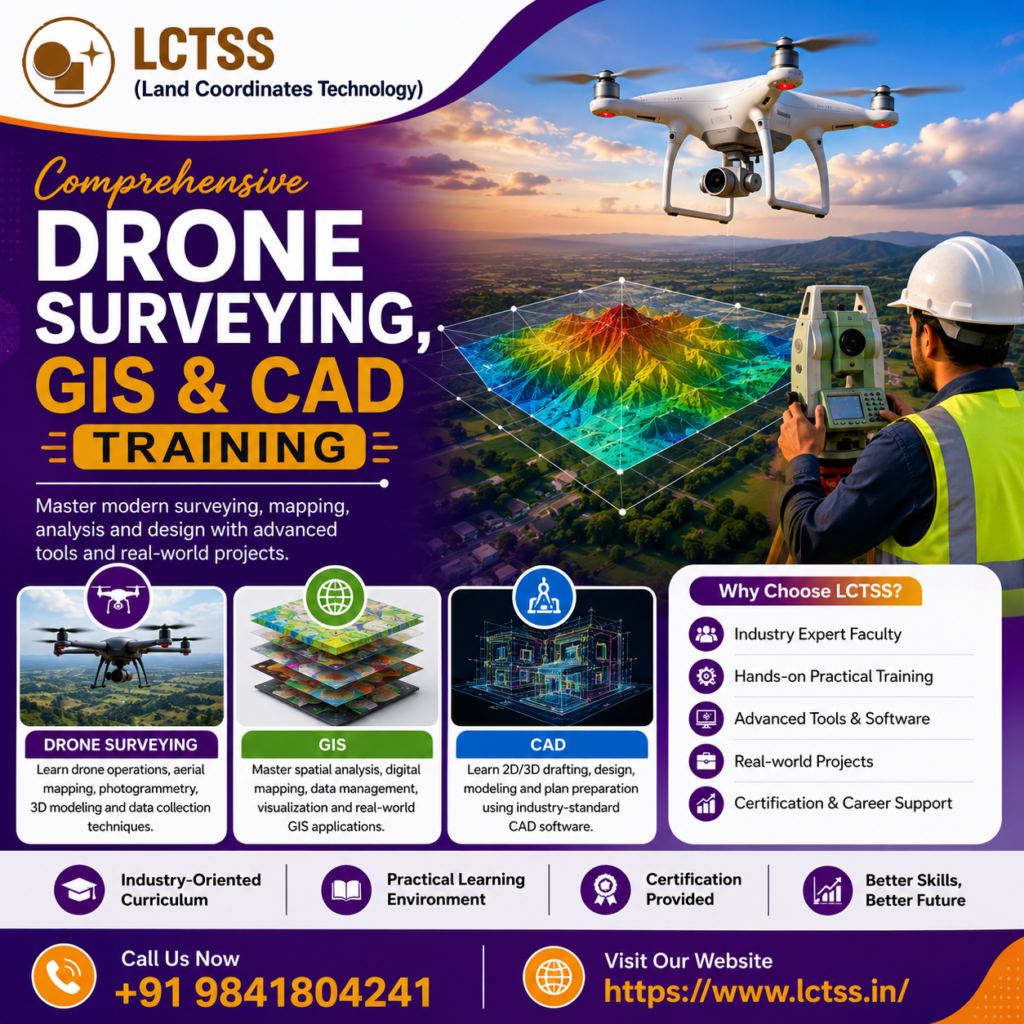
Along with drone surveying, our GIS training introduces students to advanced spatial data management, mapping, visualization, and analysis. GIS plays a vital role in decision-making by converting geographic information into meaningful insights.Participants learn how to create digital maps, manage spatial databases, analyze terrain data, perform buffer analysis, generate thematic maps, and produce professional GIS outputs using industry-standard software. These GIS skills are valuable for government organizations, infrastructure companies, environmental consultants, utility service providers, and urban planning agencies.
CAD training is another essential component of our program. Computer-Aided Design enables professionals to prepare precise engineering drawings, survey plans, layouts, contour maps, topographic drawings, and construction documentation. Students gain practical exposure to drafting techniques, coordinate systems, survey data integration, plan preparation, drawing management, and digital design workflows. By combining CAD knowledge with drone survey data and GIS analysis, learners develop complete project execution skills that meet current industry standards.
Our integrated learning approach helps students understand how drone imagery is processed into orthomosaic maps, digital elevation models (DEM), digital surface models (DSM), contour maps, point clouds, and 3D terrain models before being utilized within GIS platforms and CAD software. This end-to-end workflow provides a strong competitive advantage in today’s technology-driven surveying industry.
LCTSS provides training using real-world project datasets, allowing students to gain valuable experience before entering the workforce. Learners work on practical assignments that simulate actual field conditions and industry challenges. This project-oriented methodology strengthens technical knowledge while improving problem-solving abilities and professional confidence.
LCTSS (Land Coordinates Technology) has established itself as a trusted training institute by delivering industry-relevant education that bridges the gap between academic learning and practical implementation. Our experienced instructors have worked on large-scale surveying, GIS mapping, drone surveying, infrastructure development, engineering, and geospatial projects, enabling students to learn directly from professionals with real industry experience.
Our curriculum is regularly updated to match the latest technological advancements and market demands. Students receive comprehensive guidance throughout their learning journey, from understanding surveying fundamentals to mastering advanced drone mapping, GIS analysis, CAD drafting, and digital data processing. Practical workshops, live demonstrations, software training, field exercises, and project discussions ensure that every learner develops strong technical capabilities.
The training environment at LCTSS encourages interactive learning, allowing students to ask questions, solve real engineering problems, and participate in practical exercises that enhance their understanding of surveying technologies. Whether you are a beginner seeking a new career or an experienced professional looking to upgrade your technical skills, our courses are designed to suit various experience levels.
Completing professional training at LCTSS significantly enhances career opportunities in civil engineering firms, infrastructure companies, land surveying organizations, GIS consulting firms, mining companies, environmental agencies, utility mapping organizations, transportation authorities, renewable energy projects, real estate developers, and government departments. The growing adoption of drone technology and digital mapping has created excellent employment prospects for professionals with integrated Drone Surveying, GIS, and CAD expertise.
By choosing to Learn Drone Surveying, GIS & CAD with Industry Experts at LCTSS (Land Coordinates Technology), you gain practical knowledge, industry-recognized skills, and hands-on experience that prepare you for today’s competitive job market. Our focus on quality training, advanced technology, experienced faculty, and real-world project exposure ensures that every student is equipped to contribute effectively to modern surveying and geospatial projects. Whether your goal is career advancement, professional certification, or mastering the latest surveying technologies, LCTSS provides the ideal platform to build your future with confidence and technical excellence.