


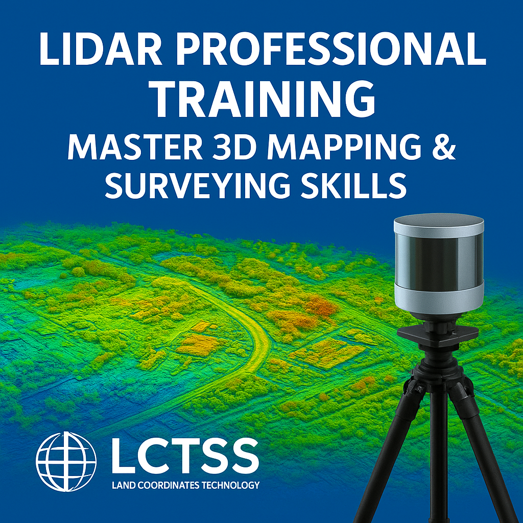
The world of land surveying and geospatial technology is rapidly evolving, and LiDAR (Light Detection and Ranging) has emerged as one of the most powerful tools for accurate mapping, terrain modeling, and 3D data acquisition. At Lctss (Land Coordinates Technology), we provide LiDAR Professional Training designed to help surveyors, civil engineers, GIS specialists, and geospatial professionals master the skills needed to harness LiDAR technology effectively.
Whether you are a beginner looking to start a career in surveying or an experienced professional aiming to upgrade your skills, our training program equips you with the knowledge, tools, and practical expertise to excel in 3D mapping and surveying projects.
Table of Contents
ToggleLiDAR technology is widely used across industries such as:
Land Surveying & Civil Engineering – for topographic surveys, site planning, and construction monitoring.
Forestry & Environmental Studies – for vegetation analysis and resource management.
Urban Planning & Infrastructure Development – for smart city planning and design.
Mining & Oil Exploration – for volumetric analysis and resource assessment.
Transportation & Utilities – for road design, railway mapping, and utility inspection.
Mastering LiDAR can significantly boost your career opportunities and make you a sought-after expert in geospatial technology.
At Lctss, our training is tailored to meet industry standards and ensure participants gain both theoretical knowledge and hands-on practical skills.
Comprehensive Curriculum – covering fundamentals of LiDAR, point cloud processing, and data visualization.
Hands-On Learning – real-world LiDAR survey projects and data analysis sessions.
Industry-Standard Software Training – exposure to tools like TerraScan, LAStools, Global Mapper, and ArcGIS.
Expert Trainers – guidance from experienced survey professionals and GIS specialists.
Flexible Learning – available as classroom training, online sessions, or hybrid formats.
Certification – globally recognized training completion certificate.
Career Support – assistance with job opportunities in surveying, construction, and GIS industries.
By enrolling in LiDAR Professional Training at Lctss, you will gain mastery in:
Understanding LiDAR fundamentals & working principles.
Setting up and conducting LiDAR surveys with drones and ground-based systems.
Processing LiDAR point cloud data for 3D modeling.
Integrating LiDAR with GIS mapping solutions.
Performing topographic mapping and terrain analysis.
Applications of LiDAR in construction, mining, forestry, and urban planning.
Quality assurance & error minimization in LiDAR data collection.
Advanced techniques for data visualization & 3D rendering.
This training ensures you not only learn theory but also gain practical expertise that employers value.
Our LiDAR Professional Training is suitable for:
Land Surveyors & Civil Engineers
GIS Analysts & Mapping Professionals
Drone Survey Operators
Environmental & Forestry Experts
Urban Planners & Infrastructure Developers
Students & Fresh Graduates seeking geospatial careers
No prior experience in LiDAR is necessary – we provide step-by-step learning support from basics to advanced levels.
At Lctss, we pride ourselves on being a leading provider of surveying training and services in India. Our LiDAR training stands out because:
Practical Learning Focus – 70% practical & 30% theory.
State-of-the-Art Tools & Equipment – hands-on training with LiDAR-enabled drones and advanced processing software.
Industry-Ready Skills – designed to match global surveying and GIS standards.
Expert Mentorship – trainers with years of professional experience.
Flexible Batches – weekends, weekdays, and fast-track sessions available.
Affordable Pricing – value-driven training at competitive rates.
Duration: 4–6 weeks (depending on batch type).
Format: Classroom, Online, or Hybrid.
Certification: Participants will receive an Industry-Recognized Certificate in LiDAR Professional Training from Lctss.
This certification enhances your employability and credibility in the surveying and geospatial industry.
Completing this training opens doors to high-demand roles such as:
LiDAR Data Processing Specialist
Drone Survey Engineer
3D Mapping & Modeling Expert
Geospatial Data Analyst
Civil & Infrastructure Surveyor
GIS Mapping Consultant
Industries worldwide are actively seeking professionals skilled in LiDAR technology, making this training a smart investment in your future.
1. Rajesh K., Civil Engineer – Chennai
“Lctss LiDAR training gave me hands-on experience in drone-based mapping. I now work on large construction projects with confidence.”
2. Priya M., GIS Specialist – Bangalore
“The training covered everything from basics to advanced LiDAR data processing. The trainers were very supportive and knowledgeable.”
3. Arun S., Land Surveyor – Kerala
“Thanks to Lctss, I upgraded my career with LiDAR expertise. I’ve been able to secure better projects and higher pay.”
4. Kavitha R., Student – Tamil Nadu
“As a beginner, I was nervous about learning LiDAR. But the step-by-step teaching approach made it easy and practical.”
1. What is LiDAR Professional Training?
It is a specialized training program that teaches professionals how to use LiDAR technology for 3D mapping, surveying, and geospatial applications.
2. Do I need prior surveying knowledge to join?
No. Our training is designed for both beginners and experienced professionals.
3. How long does the training take?
Typically, the program lasts 4–6 weeks, depending on the learning mode you choose.
4. Is the certification recognized in the industry?
Yes. Our certification is recognized across surveying, GIS, and civil engineering sectors.
5. What software will I learn?
You will gain hands-on training in TerraScan, LAStools, ArcGIS, and Global Mapper.
6. Do you provide job assistance?
Yes. We guide participants with career opportunities and industry connections.
7. Can I take this training online?
Yes. We offer classroom, online, and hybrid modes to suit your needs.
8. What career options are available after training?
You can work as a LiDAR analyst, surveyor, GIS expert, or drone operator in industries like construction, mining, and urban planning.
9. Is practical field training included?
Yes. Our course includes hands-on survey sessions with LiDAR-enabled equipment.
10. How do I enroll?
You can register online at Lctss Official Website or contact our team for batch details.
LiDAR Professional Training – Master 3D Mapping & Surveying Skills with Lctss (Land Coordinates Technology) is your gateway to becoming a skilled geospatial expert. With comprehensive modules, real-world projects, and industry-recognized certification, this program prepares you for a rewarding career in surveying and GIS.
👉 Take the first step today and enroll in our LiDAR Professional Training to secure your future in the world of advanced mapping and surveying.