


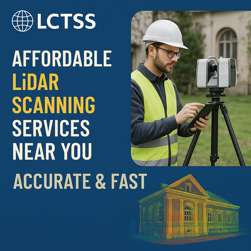
In today’s fast-paced construction, land development, and infrastructure landscape, precision and efficiency are non-negotiable. Lctss (Land Coordinates Technology) is your trusted partner offering affordable LiDAR scanning services that are not only cost-effective but also accurate and delivered with unmatched speed.
Whether you’re working on a residential project, industrial site, or infrastructure planning, our cutting-edge LiDAR (Light Detection and Ranging) technology helps you map the surface terrain and structures with millimeter-level precision.
Table of Contents
ToggleAt Lctss, we blend innovation, experience, and affordability to bring value-driven geospatial solutions to engineers, developers, surveyors, and government bodies across India. Here’s why our LiDAR services stand out:
✅ Affordable Pricing: We believe advanced technology should be accessible. Our flexible pricing plans fit various budgets and project sizes.
✅ High-Speed Delivery: With efficient workflows and automation, we offer quick turnaround times.
✅ Accuracy You Can Trust: Our state-of-the-art equipment ensures results with sub-centimeter accuracy.
✅ Customized Solutions: From topographic surveys to 3D modeling, we tailor our services to meet your specific needs.
✅ Pan-India Service: Whether you’re in Tamil Nadu, Kerala, Karnataka, or beyond – we’re ready to serve.
LiDAR scanning is a remote sensing method that uses laser pulses to measure distances to the Earth. It collects thousands of data points per second, creating detailed 3D models and digital terrain maps (DTMs) of land surfaces, buildings, vegetation, and infrastructure.
Laser Sensor: Sends out laser pulses.
GPS/IMU: Records exact position and orientation.
Data Processing Software: Converts raw point cloud data into usable formats.
This technology is ideal for high-resolution surveying, especially in hard-to-reach or vegetated areas.

Lctss offers versatile LiDAR applications across multiple sectors:
Generate detailed topographic maps to assist land development and legal boundary definition.
Plan site grading, monitor progress, and inspect construction work with unmatched accuracy.
Analyze vegetation density, biomass, and terrain for conservation and planning purposes.
Create 3D surface models and monitor excavation with high-precision point cloud data.
Support urban development with detailed 3D maps and models of terrain and infrastructure.
LiDAR helps model floodplains and landslides by providing accurate elevation data.
Here’s how we ensure fast and accurate results for every project:
Understand your scope, timeline, and deliverables.
Using aerial or terrestrial LiDAR units, we collect millions of points over your site.
Our GIS and remote sensing experts filter, classify, and process the data into usable formats such as DEMs, DTMs, contours, and 3D mesh models.
Receive the final output in your preferred format – ready for CAD, GIS, or BIM integration.
💡 Experience Across Domains: Years of hands-on work with land survey, civil engineering, and geospatial technology.
🛰️ Advanced Equipment: UAV LiDAR, mobile LiDAR, and terrestrial scanners.
🧠 Expert Team: Qualified geospatial engineers and GIS specialists.
🛠️ Flexible Formats: Export to LAS, DXF, SHP, GeoTIFF, and more.
🌍 On-Site & Remote Capability: We operate across rural, urban, and industrial terrains.
We provide LiDAR scanning services across Tamil Nadu, Kerala, Karnataka, and other parts of India. Whether you need terrain modeling for a construction site in Chennai, or flood mapping in Kochi, Lctss is ready with local support and nationwide reach.
📐 Civil Engineers & Contractors
🏗️ Real Estate & Infrastructure Developers
🌱 Environmental Consultants
🗺️ Surveyors & GIS Analysts
🏛️ Government Departments (PWD, Forest, Urban Planning)
🚧 Mining & Utilities Companies
At Lctss, “affordable” means maximizing value – not cutting corners. Our optimized workflows, smart tech investments, and scalable services allow us to reduce project costs while maintaining world-class standards.
Use of drones for faster data capture
Modular pricing – pay only for what you need
Automated processing to cut manpower hours
Remote project support for minimal travel costs
Whether you’re mapping land for real estate, planning road alignment, or monitoring a mining site, our affordable LiDAR scanning services are just a call away. Let us help you reduce risk, improve accuracy, and save time on your next land survey or civil project.
📞 Call us today to book a free consultation.
📧 Email: lctsurveyins@gmail.com
🌐 Visit: www.lctss.in
📍 Service Locations: Tamil Nadu | Kerala | Karnataka | More
Costs vary based on area size, terrain complexity, and deliverables. At Lctss, we offer customized, competitive rates starting from ₹10,000 per project.
Our LiDAR systems can achieve vertical accuracies of ±5 cm or better, depending on the environment and scan method.
Project timelines vary, but small to mid-sized sites can often be completed within 3–7 working days.
No, LiDAR is line-of-sight. For underground features, we recommend GPR (Ground Penetrating Radar) services.
Absolutely. Our UAV LiDAR systems are equipped with high-precision GPS and IMUs for superior accuracy.
Yes. We deliver point clouds, surface models, contour maps, and 3D mesh formats as required.
We support LAS, LAZ, DEM, DXF, SHP, GeoTIFF, and others based on client preference.
Yes, we have the capacity and expertise to handle large-scale LiDAR projects across urban and rural areas.
Yes. LiDAR can penetrate through vegetation to accurately capture ground elevation even in dense forested areas.
Contact us via phone, email, or website form. We’ll schedule a consultation, provide a quote, and initiate the project as per your timeline.