




Table of Contents
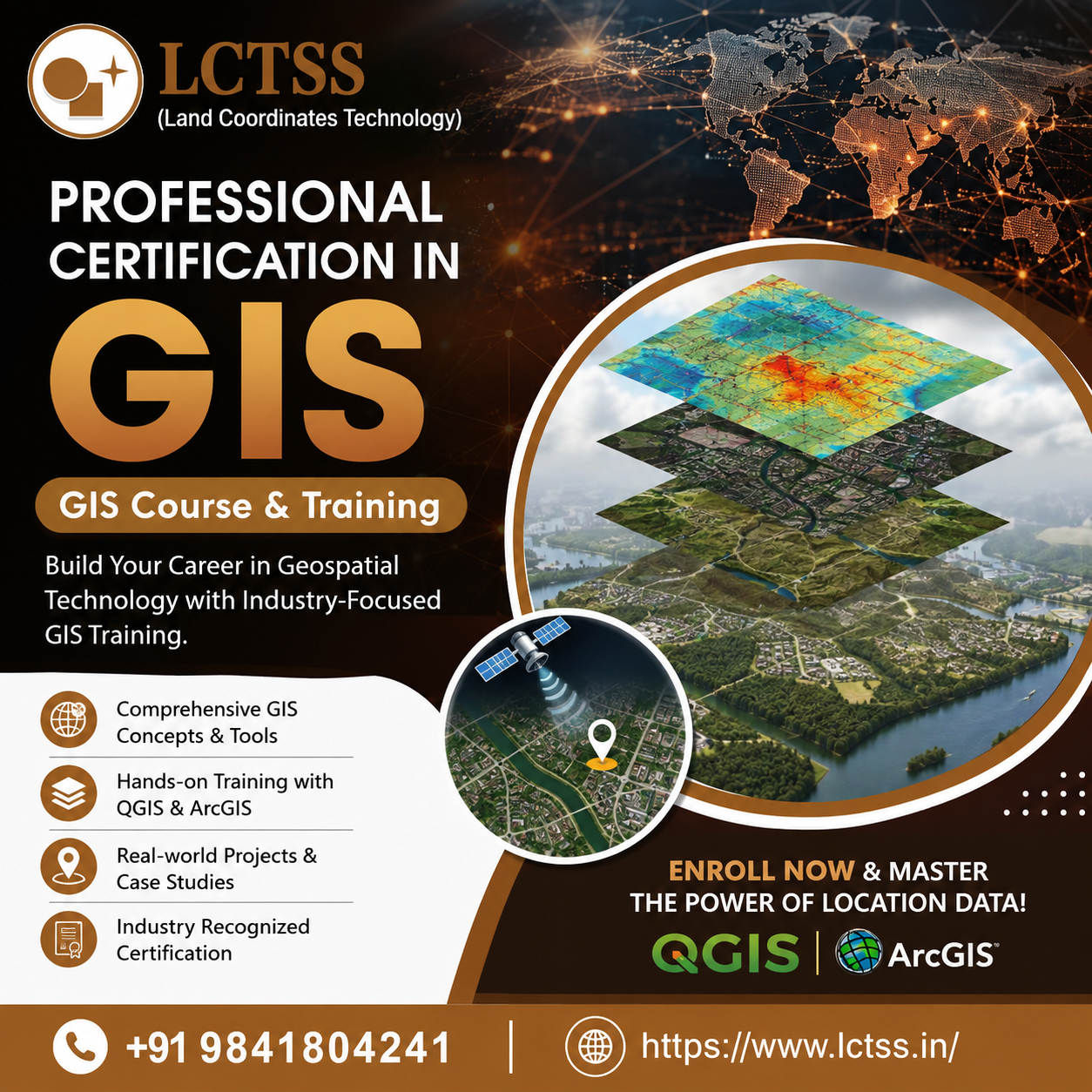
ToggleGeographic Information System (GIS) technology has become an essential part of modern surveying, urban planning, infrastructure development, environmental management, transportation, agriculture, disaster management, and many other industries. As organizations increasingly depend on location-based data for planning and decision-making, professionals with practical GIS skills are in growing demand. LCTSS (Land Coordinates Technology) offers Professional Certification in GIS along with comprehensive GIS Course & Training designed to help students, graduates, surveyors, civil engineers, GIS professionals, and working professionals develop practical geospatial skills.
The Professional Certification in GIS program at LCTSS focuses on building a strong understanding of Geographic Information Systems and their practical applications. GIS combines maps, spatial information, databases, satellite imagery, and analytical tools to help users understand locations and relationships between different geographic features.
The training is structured to provide learners with both fundamental concepts and practical knowledge. Participants can understand how spatial data is created, collected, managed, analyzed, and presented through professional GIS workflows. The course can be useful for beginners who want to enter the geospatial industry as well as experienced professionals who want to strengthen their technical capabilities.
GIS professionals work with different types of spatial information, including roads, buildings, land parcels, drainage networks, utilities, topographic features, administrative boundaries, and environmental data. Learning how to organize and analyze these datasets can help professionals contribute effectively to real-world mapping and planning projects.
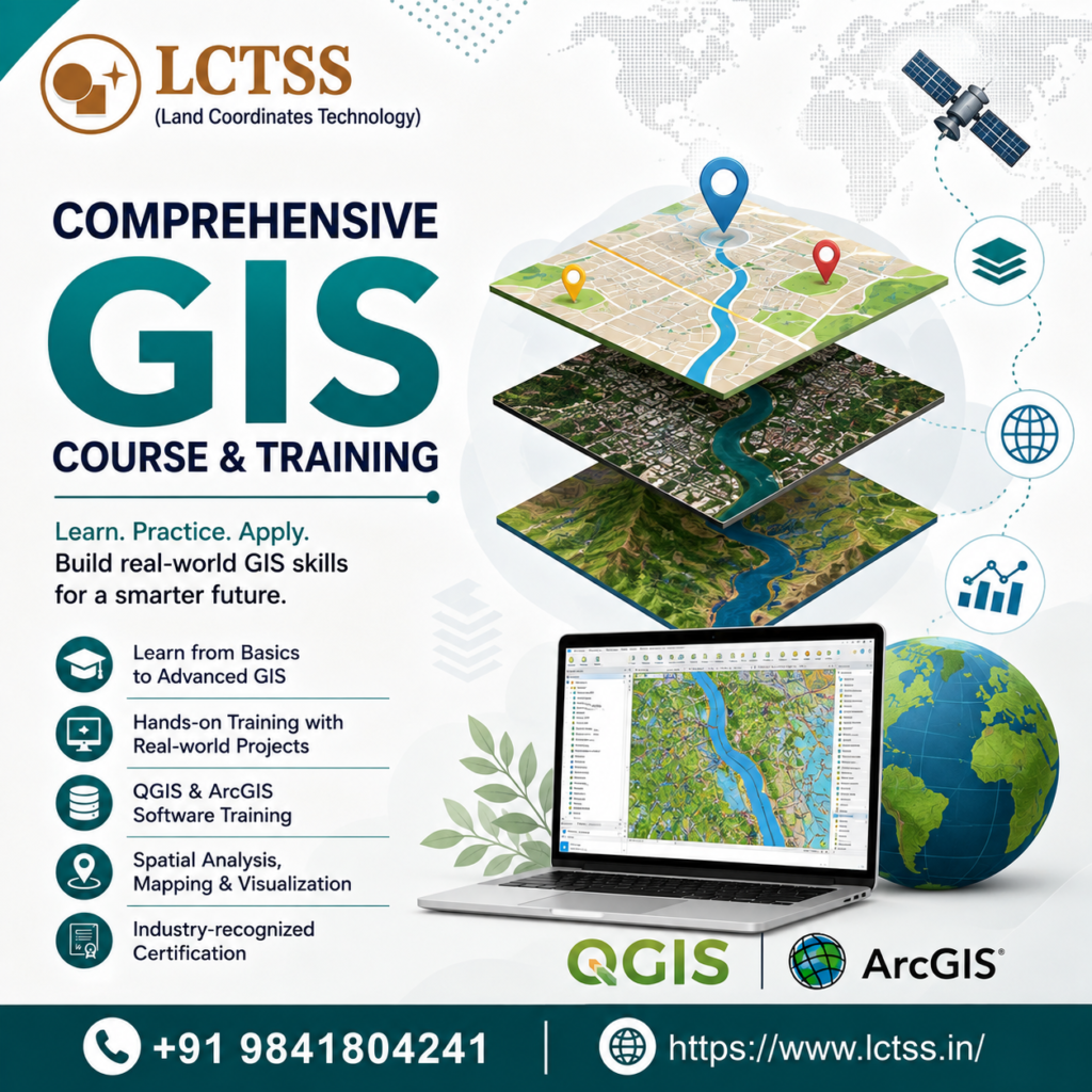
The GIS Course & Training at LCTSS is designed around practical learning and industry-oriented applications. Instead of focusing only on theoretical concepts, the training introduces learners to workflows that are commonly used in surveying, mapping, civil engineering, infrastructure, and geospatial projects.
Participants can learn important GIS concepts such as coordinate systems, projections, spatial data, attribute data, vector and raster layers, georeferencing, digitization, spatial analysis, database management, map creation, and data visualization. Understanding these fundamentals provides a strong foundation for working with geospatial information.
The course also introduces learners to widely used GIS software and tools such as QGIS and ArcGIS. Through practical exercises, participants can become familiar with creating projects, importing datasets, managing layers, editing spatial features, adding attribute information, performing analysis, and producing professional maps.
Hands-on training is particularly valuable for learners who are new to GIS because it allows them to understand how concepts are applied in actual project environments. By working with practical datasets and exercises, students can improve their confidence in handling spatial information and completing GIS-based tasks.
QGIS and ArcGIS are important platforms used in different areas of geospatial technology. LCTSS GIS training helps participants understand the functionality and practical applications of these tools.
Learners can explore QGIS for creating and editing spatial data, managing layers, performing spatial analysis, preparing maps, and working with different geospatial formats. The training can also introduce ArcGIS workflows for mapping, data management, analysis, visualization, and professional GIS applications.
The ability to work with GIS software can be particularly beneficial for civil engineering and surveying professionals. Survey data, CAD drawings, GPS information, satellite imagery, and other datasets can be integrated into GIS environments for visualization and analysis.
GIS has a significant role in civil engineering and land surveying. Surveyors and civil engineering professionals can use GIS to organize spatial information and combine different datasets for better project planning.
GIS can support activities such as land mapping, site analysis, infrastructure planning, road development, utility mapping, land-use analysis, and asset management. Surveying data collected using instruments such as Total Stations, DGPS equipment, drones, and other technologies can be incorporated into GIS workflows for further analysis and visualization.
For construction and infrastructure projects, GIS can help teams understand site conditions, identify existing features, manage project information, and visualize spatial relationships. This makes GIS knowledge a valuable additional skill for civil engineers, surveyors, architects, planners, and other technical professionals.
Modern cities generate large amounts of location-based information. GIS provides tools for organizing and analyzing this information to support urban development and infrastructure management.
GIS can be used for road network planning, land-use mapping, utility management, transportation analysis, environmental monitoring, population analysis, and public infrastructure planning. As smart-city initiatives continue to use digital technologies and geospatial data, professionals with GIS knowledge can contribute to projects involving spatial databases, digital maps, location intelligence, and infrastructure management.
The Professional Certification in GIS from LCTSS can help learners understand how GIS technology can be applied to these modern planning and development requirements.
GIS is closely connected with remote sensing and modern mapping technologies. Satellite imagery, aerial photographs, drone survey data, LiDAR information, and other spatial datasets can be processed and integrated into GIS environments.
Professionals can use GIS to visualize remote-sensing information, compare datasets, identify changes, create thematic maps, and support spatial decision-making. Combining GIS knowledge with surveying, photogrammetry, remote sensing, or drone technology can provide professionals with a broader understanding of the geospatial industry.
For learners interested in careers involving digital mapping and spatial data analysis, GIS training can therefore serve as an important foundation.
The objective of professional GIS training is not only to understand software but also to develop the ability to solve spatial problems. LCTSS emphasizes practical learning so that participants can understand GIS workflows and apply their knowledge to project-based situations.
Through practical exercises, learners can develop skills in spatial data creation, editing, analysis, visualization, and map preparation. They can also improve their understanding of how different datasets can be combined to produce useful geographic information.
A structured certification program can be particularly helpful for students and professionals who want to demonstrate their GIS knowledge while developing practical capabilities for future opportunities.
The LCTSS GIS Course & Training can be useful for a wide range of learners and professionals, including:
No matter the learner’s current level of experience, developing a strong foundation in GIS concepts and practical software applications can help build a pathway toward geospatial career opportunities.
LCTSS (Land Coordinates Technology) focuses on practical and technology-oriented training in surveying, mapping, GIS, and other geospatial disciplines. The Professional Certification in GIS program is designed to help learners understand both the concepts and practical applications of GIS.
The combination of classroom learning, software-based exercises, practical workflows, and project-oriented understanding can help participants build useful technical skills. Learners can gain exposure to GIS applications relevant to surveying, civil engineering, mapping, infrastructure, and spatial data management.
A professional approach to GIS education can also help learners understand how different technologies work together. GIS can be combined with CAD, DGPS, Total Station surveying, drone surveying, photogrammetry, LiDAR, remote sensing, and other geospatial technologies to create comprehensive digital mapping solutions.
GIS is transforming the way organizations collect, manage, analyze, and visualize geographic information. From land surveying and construction to urban planning, transportation, environmental management, and smart-city development, GIS skills can provide valuable career opportunities.
By enrolling in the Professional Certification in GIS | GIS Course & Training at LCTSS, learners can develop a strong foundation in GIS concepts, QGIS, ArcGIS, spatial data management, mapping, and analysis. Practical training can help participants gain confidence in handling real-world geospatial datasets and applying GIS techniques to professional projects.
Whether you are a beginner looking to enter the GIS industry or a working professional seeking to upgrade your technical skills, LCTSS can provide industry-focused GIS learning to support your professional development.
Start your GIS learning journey with LCTSS (Land Coordinates Technology) and develop the practical skills needed to work with modern geospatial data, digital mapping, and location-based technologies.
Contact LCTSS: +91 9841804241
Website: https://www.lctss.in/