


At Lctss (Land Coordinates Technology), we specialize in delivering site surveying services and land surveying services with precision, reliability, and cutting-edge technology. Our team of qualified engineers, licensed surveyors, and field technicians serve clients across Tamil Nadu, Kerala, and Karnataka, supporting a wide range of civil engineering, construction, and infrastructure projects.
Table of Contents
ToggleWhether it’s a residential plot, industrial zone, infrastructure corridor, or a large-scale development project, accurate surveying forms the backbone of informed decision-making. Errors in surveying can lead to costly legal issues, construction delays, or structural challenges. That’s why we at Lctss are committed to high-precision data collection, advanced GIS mapping, and topographical analysis.

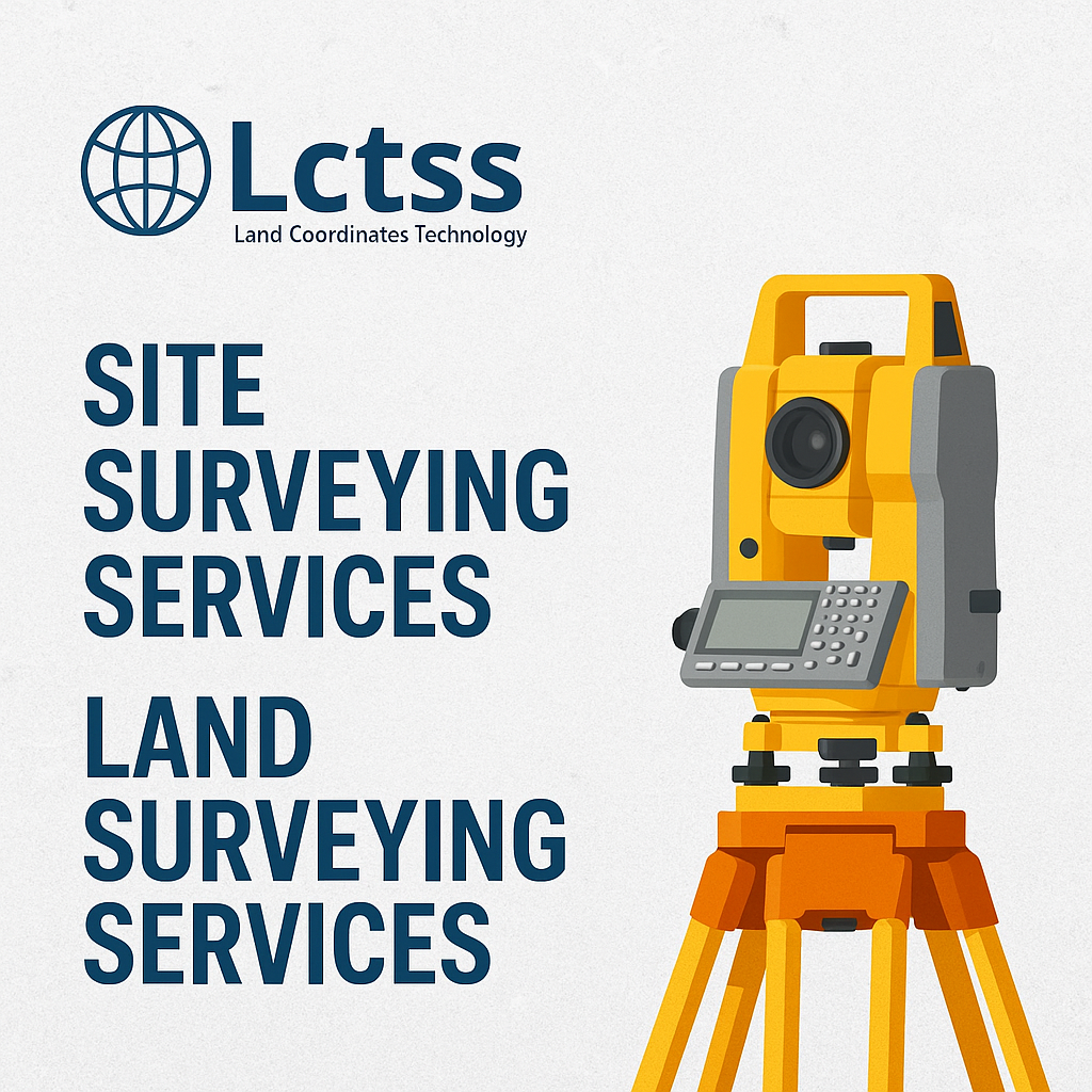
Our site surveying services are designed to collect and analyze critical data on the topography, boundaries, structures, and terrain of a site before construction begins. Services include:
Topographic Surveys
Boundary and Legal Surveys
Grading and Drainage Surveys
Site Layout and Staking
Elevation Surveys
Construction Progress Surveys
We use total stations, GPS, drones, and 3D laser scanners to ensure accurate results and fast project execution. Lctss proudly provides site surveying services in Tamil Nadu, Kerala, and Karnataka, adapting our methodologies to local regulations and geographical conditions.
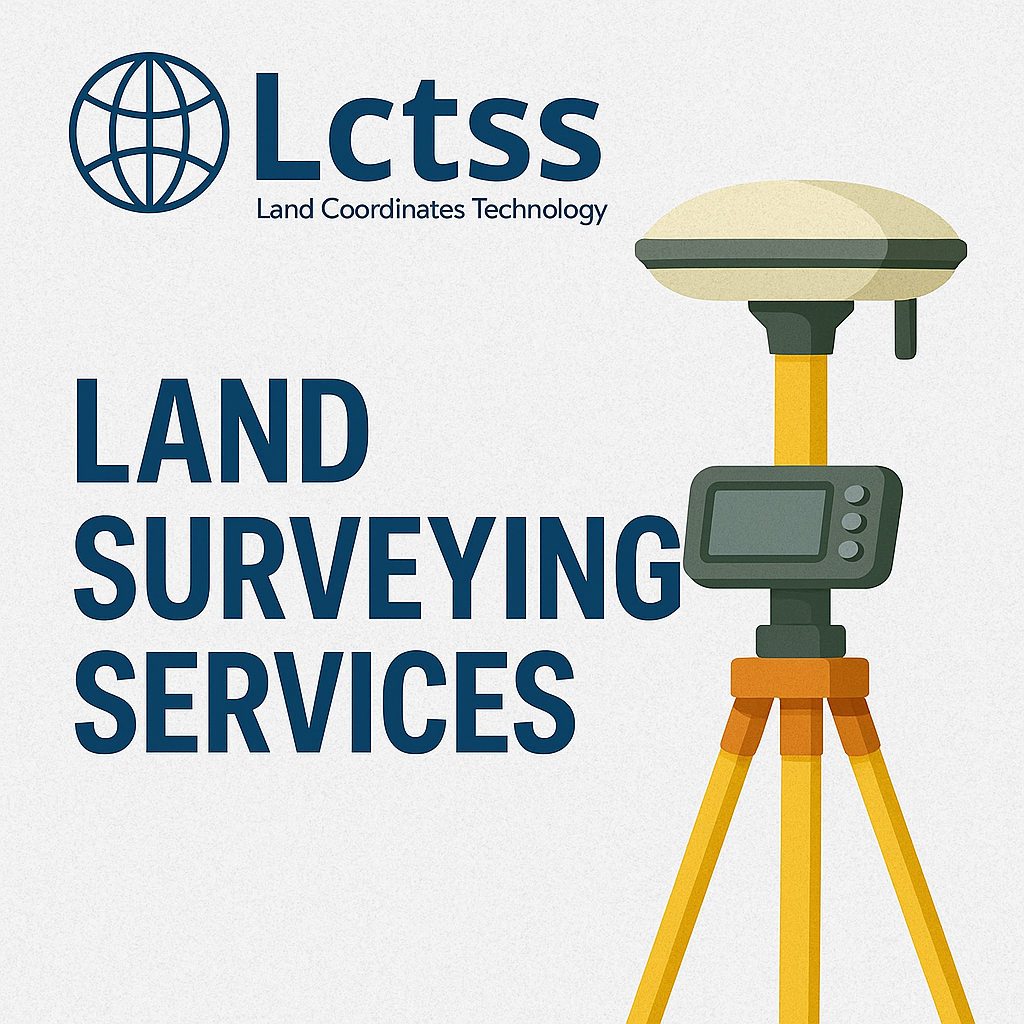
Our land surveying services ensure that land parcels are measured and documented accurately, enabling smooth transactions, approvals, and development. Services include:
Boundary and Cadastral Surveys
Property Line Verification
Subdivision Surveys
Plot Demarcation
Legal Land Documentation
Land Acquisition & Resettlement Surveys
Whether you are a private landowner, real estate developer, or a government agency, our licensed land surveyors provide professional solutions across the southern states of India.
We have deep knowledge of local terrain and state-specific regulations. Our Tamil Nadu surveying projects range from industrial site developments in Coimbatore to residential and infrastructure surveys in Chennai and Tiruchirapalli.
Kerala’s diverse terrain requires adaptable survey techniques. From coastal cities like Kochi to hilly regions in Wayanad, our surveyors ensure accurate data collection and terrain modeling to guide sustainable development.
In Karnataka, our services cover Bangalore’s booming construction landscape to semi-urban and rural developments. Lctss’s local expertise supports developers, architects, and government projects throughout the state.
Total Stations for line-of-sight measurements
GNSS/GPS Equipment for geolocation precision
Drone (UAV) Surveys for aerial topographic mapping
3D Laser Scanning for detailed structure modeling
GIS & CAD Software for processing and visualizing data
By leveraging advanced tools, Lctss guarantees faster turnaround times, accurate data sets, and reliable reports for both site surveying and land surveying applications.
Initial Consultation – Understanding project goals and site requirements
Field Survey Execution – Using advanced equipment to collect data
Data Processing – Analyzing and converting raw data into usable formats
Reporting & Deliverables – Providing clear and actionable survey reports
Client Support – Continuous collaboration and technical support
Real Estate & Residential Projects
Civil Engineering & Infrastructure
Roads, Highways, and Railways
Industrial and Logistics Parks
Renewable Energy Projects (Solar & Wind Farms)
Government and Municipal Planning
✔️ Licensed and Experienced Surveyors
✔️ Advanced Equipment and Software
✔️ Regional Coverage and Local Knowledge
✔️ On-Time Project Delivery
✔️ Transparent Pricing and Documentation
✔️ Client-Centric Approach
Site surveying typically focuses on evaluating land for construction (e.g., elevation, layout, and topography), while land surveying defines legal boundaries and property lines.
Yes, Lctss offers comprehensive site surveying services in Tamil Nadu, including Chennai, Coimbatore, and Madurai.
Absolutely. All surveys conducted by Lctss are performed by licensed professionals and comply with local municipal and state-level regulations.
We use total stations, GPS/GNSS receivers, drones, and 3D scanners to ensure accuracy and speed.
Yes, our land surveys are legally admissible and can assist with property disputes, title clearance, and boundary verification.
Yes. We provide site and land surveying services in Kerala (e.g., Kochi, Trivandrum) and Karnataka (e.g., Bangalore, Mysore, Hubli).
Most residential or small commercial site surveys can be completed in 1–3 days. Larger or complex projects may take longer depending on site conditions.
Yes. All clients receive digital deliverables in PDF, DWG (AutoCAD), or GIS-compatible formats.
Survey costs depend on the size, location, and complexity of the site. We provide transparent, customized quotes based on project needs.
Yes, Lctss also provides consulting support in planning, layout optimization, and regulatory compliance based on our survey findings.
Are you planning a civil engineering project or need accurate land data for legal or construction purposes?
Reach out to Lctss (Land Coordinates Technology) for trusted, on-time, and professional site surveying services and land surveying services in Tamil Nadu, Kerala, and Karnataka.
📧 Email: lctsurveyins@gmail.com
📞 Call: +91 9841804241
🌐 Website: [www.lctss.com]
Let us guide your next project with precision and insight.