

Table of Contents
ToggleIn today’s fast-paced geospatial and surveying industry, accuracy, speed, and efficiency are crucial. One technology that’s revolutionizing the way professionals capture and process 3D spatial data is SLAM LiDAR (Simultaneous Localization and Mapping with Light Detection and Ranging).
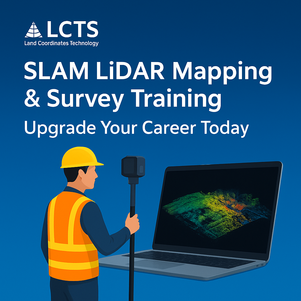
At Lctss (Land Coordinates Technology), we offer a comprehensive SLAM LiDAR Mapping & Survey Training program designed to help engineers, surveyors, GIS specialists, and students master this cutting-edge technology. Whether you are starting your career or upgrading your skills, this training will give you the competitive advantage you need.
SLAM LiDAR is a technology that combines LiDAR scanning with real-time simultaneous localization and mapping algorithms. Unlike traditional LiDAR that requires GPS, SLAM LiDAR can work indoors, underground, or in GPS-denied environments, making it perfect for:
Construction site mapping
Tunnel and mine surveys
Industrial facility scanning
Forestry and environmental studies
Urban mapping for smart cities
With SLAM LiDAR, surveyors can move freely with a mobile scanner, collecting accurate 3D point cloud data without needing static setups.
The geospatial industry is shifting towards mobile and real-time 3D mapping solutions. By learning SLAM LiDAR at Lctss, you will:
Master high-demand technology used in construction, mining, and GIS projects
Increase your productivity with faster field data collection
Expand your service offerings for more business opportunities
Work on real-life projects during training
Earn industry-recognized certification from Lctss

Our SLAM LiDAR training is ideal for:
Civil engineers and land surveyors
GIS professionals and mapping specialists
Architecture and construction engineers
Mining and tunnel survey professionals
Students and graduates in geospatial or civil fields
Drone operators looking to expand into mobile mapping
No prior SLAM LiDAR experience is required, but basic surveying knowledge is beneficial.
Our SLAM LiDAR Mapping & Survey Training is a blend of theory, hands-on practice, and real-world project simulations.
History and evolution of LiDAR
GPS vs. SLAM-based mapping
Advantages and limitations
Types of SLAM LiDAR scanners
Portable handheld and vehicle-mounted systems
Software for data processing and visualization
Mobile mapping workflows
Scanning indoors, outdoors, and in complex environments
Best practices for accuracy
Importing and cleaning LiDAR data
Registration and merging of datasets
Filtering noise and unwanted points
Creating 3D models from point clouds
Measuring distances, volumes, and profiles
Integrating data into GIS and CAD
Construction progress monitoring
Urban planning
Underground infrastructure surveys
Forestry and terrain mapping
Common issues in SLAM LiDAR mapping
Calibration techniques
Quality assurance methods
Lctss certification test
Portfolio building
Career and freelancing opportunities
Duration: 5–7 Days (Intensive) or 2–4 Weeks (Flexible Batch)
Mode: Classroom & On-site Practical Training
Location: Lctss Training Centers (Tamil Nadu, Kerala, Karnataka)
Certification: Lctss – Industry Recognized
Expert Instructors with real project experience
Latest Equipment – handheld and vehicle-mounted SLAM LiDAR units
Hands-on Practice in live project sites
Industry-standard Software Training
Placement Assistance for career opportunities
After completing our SLAM LiDAR Mapping & Survey Training, you can work as:
SLAM LiDAR Survey Specialist
Mobile Mapping Technician
3D Point Cloud Analyst
GIS Mapping Engineer
Construction & Infrastructure Surveyor
Freelancer for mapping projects
Industries hiring SLAM LiDAR experts include construction, mining, oil & gas, transportation, forestry, and environmental research.
SLAM LiDAR technology is shaping the future of surveying. By enrolling in our SLAM LiDAR Mapping & Survey Training, you’re not just learning a skill—you’re future-proofing your career.
Join Lctss today and step into the next era of geospatial technology.
1. What is SLAM LiDAR used for?
SLAM LiDAR is used for creating accurate 3D maps in environments where GPS signals are unavailable or unreliable, such as indoors, underground, and dense urban areas.
2. Do I need prior experience to join this training?
No, beginners are welcome. Basic surveying or GIS knowledge is helpful but not mandatory.
3. How accurate is SLAM LiDAR mapping?
Modern SLAM LiDAR systems can achieve centimeter-level accuracy, depending on the device and scanning environment.
4. Is SLAM LiDAR better than GPS-based LiDAR?
SLAM LiDAR is not necessarily better—it’s different. It’s ideal for environments where GPS cannot be used.
5. Will I get hands-on training?
Yes, our program includes extensive fieldwork with SLAM LiDAR devices.
6. What software will I learn during the course?
We cover industry-leading point cloud processing and GIS software used in SLAM LiDAR workflows.
7. Can SLAM LiDAR be used with drones?
Yes, SLAM LiDAR can be integrated into UAVs for mobile aerial mapping.
8. How long does it take to process SLAM LiDAR data?
Processing times vary, but with proper workflows, most datasets can be processed within hours.
9. Will I get a certificate after training?
Yes, you will receive an industry-recognized certificate from Lctss.
10. What are the career benefits of learning SLAM LiDAR?
You can work in high-demand sectors such as infrastructure development, smart cities, and environmental mapping with competitive salaries.