


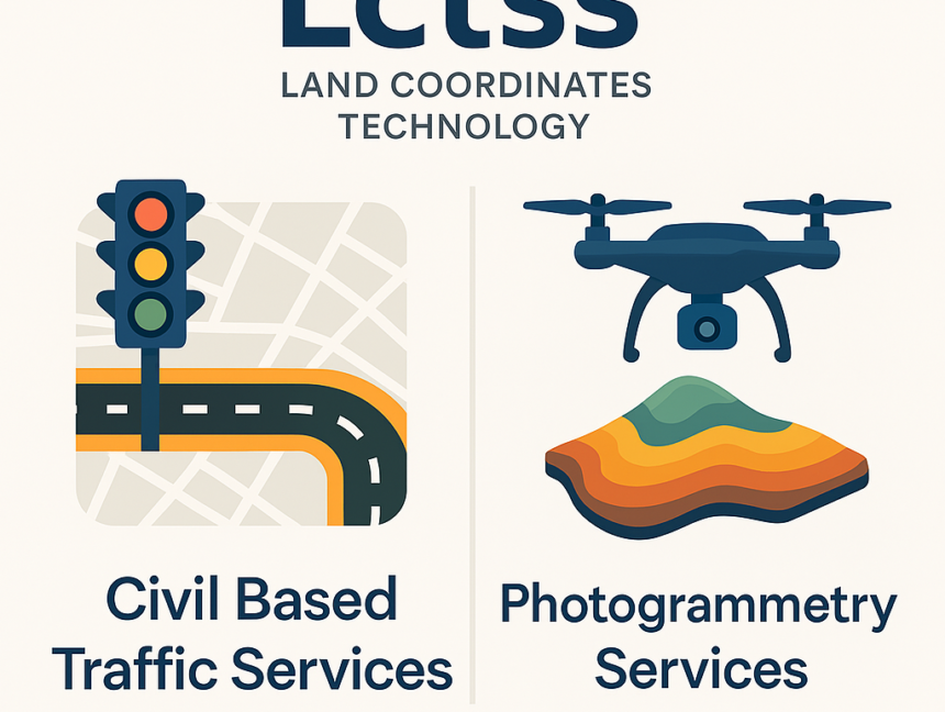
Enhance Urban Planning with Civil Based Traffic Services and Photogrammetry Services by LCTSS (Land Coordinates Technology)
Urban growth and increasing population density demand smarter and more efficient infrastructure planning. At Land Coordinates Technology (Lctss), we provide cutting-edge Civil Based Traffic Services and Photogrammetry Services to empower government bodies, engineering firms, infrastructure developers, and urban planners with the tools they need to design better, safer, and more efficient environments. What Are Civil