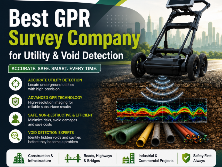
Best GPR Survey Company for Utility & Void Detection – LCTSS (Land Coordinates Technology)
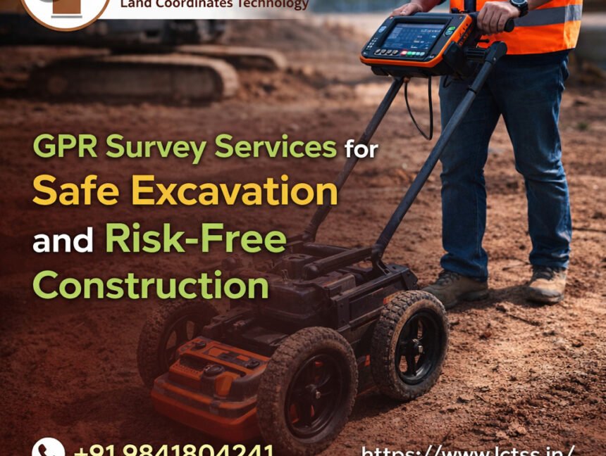
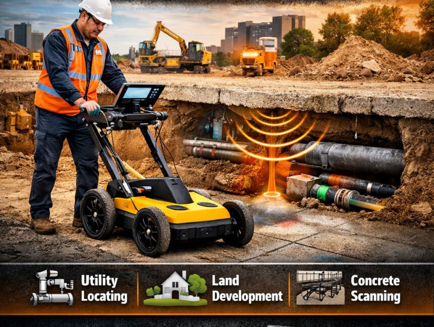
Best GPR Survey Company for Utility & Void Detection – LCTSS (Land Coordinates Technology) When it comes to identifying hidden underground utilities, cavities, and structural voids, choosing the Best GPR Survey Company for Utility & Void Detection is essential for the safety and success of any construction, infrastructure, or land development project. LCTSS (Land Coordinates