Tag: Land Coordinates Technology

  • Blog
  • Tag: Land Coordinates Technology
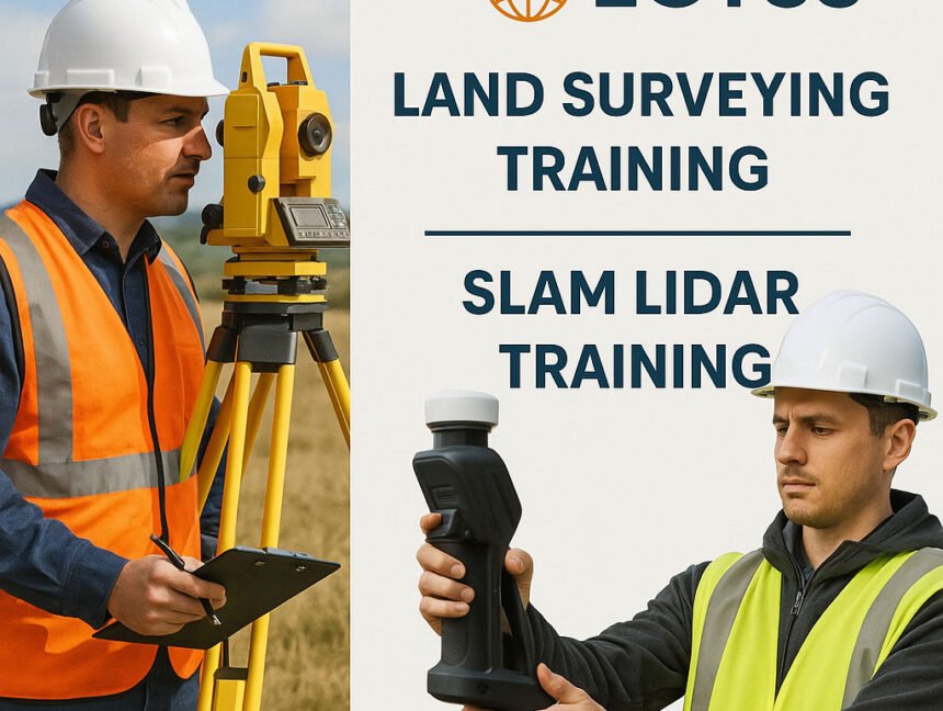
Land Surveying Training and SLAM LiDAR Training at Lctss (Land Coordinates Technology)
  • No Comments

Land Surveying Training and SLAM LiDAR Training at Lctss (Land Coordinates Technology)

In today’s fast-evolving geospatial industry, high-quality Land Surveying Training and SLAM LiDAR Training are critical to building a strong workforce ready to tackle real-world challenges. Lctss (Land Coordinates Technology) stands at the forefront, offering comprehensive, industry-driven courses that empower surveyors, engineers, GIS professionals, and technicians with the skills they need to succeed. Whether you’re starting

  • No Comments

Lidar Data Processing Services and LiDAR Scanning Services by Land Coordinates Technology (Lctss)

In the rapidly evolving world of geospatial technologies, LiDAR (Light Detection and Ranging) has revolutionized how we perceive, map, and analyze our environment. At Land Coordinates Technology (Lctss), we offer advanced LiDAR Data Processing Services and high-precision LiDAR Scanning Services tailored to meet the growing demand for accurate, efficient, and scalable spatial data solutions across