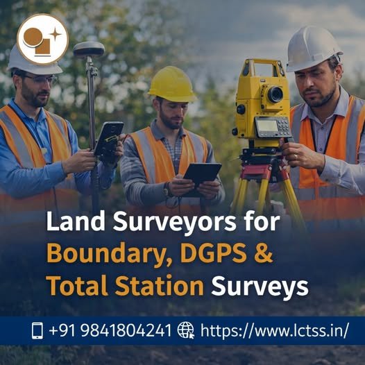
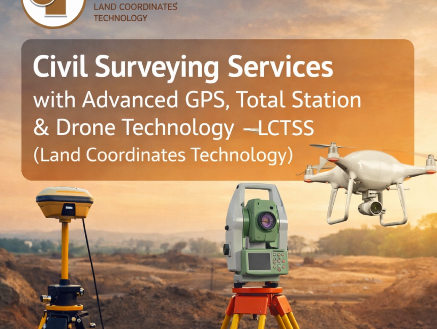
Tag: Land Surveying services

  • Blog
  • Tag: Land Surveying services
Expert Civil Engineering Land Surveying Services Near You
  • No Comments

Expert Civil Engineering Land Surveying Services Near You

Expert Civil Engineering Land Surveying Services Near You When it comes to successful infrastructure and construction projects, accuracy is everything. At Land Coordinates Technology (LCTSS), we provide expert civil engineering land surveying services near you with a strong focus on precision, reliability, and timely delivery. Whether it is a residential building, commercial complex, highway project,

  • No Comments

Land Surveyors for Boundary, DGPS & Total Station Surveys – LCTSS (Land Coordinates Technology)

Accurate land surveying is the foundation of every successful construction, infrastructure, and land development project. At LCTSS (Land Coordinates Technology), we provide professional Land Surveyors for Boundary, DGPS & Total Station Surveys, delivering precise, reliable, and legally compliant survey solutions across Tamil Nadu, Kerala, Karnataka, and other regions in India. With advanced technology, experienced surveyors,

  • No Comments

Professional Site and Land Surveying Services – Lctss (Land Coordinates Technology)

At Lctss (Land Coordinates Technology), we specialize in delivering site surveying services and land surveying services with precision, reliability, and cutting-edge technology. Our team of qualified engineers, licensed surveyors, and field technicians serve clients across Tamil Nadu, Kerala, and Karnataka, supporting a wide range of civil engineering, construction, and infrastructure projects. 🔍 Why Accurate Surveying

  • No Comments

UAV/Drone Survey Services and Land Surveying Services by Land Coordinates Technology (Lctss)

In today’s rapidly advancing world, the demand for accurate, efficient, and cost-effective surveying methods has increased exponentially. At Land Coordinates Technology (Lctss), we are proud to offer state-of-the-art UAV/Drone Survey Services and professional Land Surveying Services across India. Our solutions combine modern drone technology with traditional expertise, enabling us to deliver topographic data, 3D mapping,