




Table of Contents
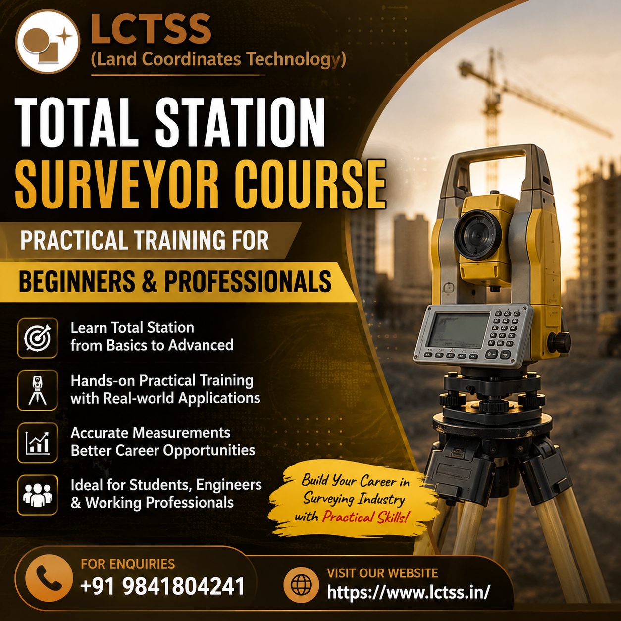
ToggleThe Total Station Surveyor Course – Practical Training for Beginners & Professionals offered by LCTSS (Land Coordinates Technology) is designed for students, civil engineering professionals, surveyors, and individuals who want to build strong practical skills in modern land surveying. Total Station is one of the most widely used surveying instruments in construction, infrastructure development, land development, road projects, industrial projects, and topographic surveys. This course focuses on helping learners understand both the fundamental concepts and practical field applications of Total Station surveying.
Total Station combines electronic distance measurement, angle measurement, and data recording capabilities in a single advanced surveying instrument. Learning to operate a Total Station correctly requires more than theoretical knowledge. Surveyors need practical experience in instrument setup, leveling, orientation, observations, coordinate collection, field data management, and accurate measurements. LCTSS provides practical-oriented training that helps participants understand these important aspects through systematic learning and field-based exercises.
The course is suitable for beginners who are starting their career in surveying as well as professionals who want to improve their existing surveying knowledge. Participants can learn the basic principles of surveying before progressing toward advanced Total Station applications. The training approach is designed to make complex surveying procedures easier to understand through practical demonstrations and hands-on exercises.
For beginners, the course provides an opportunity to develop a strong foundation in land surveying and understand how modern surveying equipment is used on actual project sites. Participants can become familiar with instrument components, field procedures, measurement techniques, coordinate systems, and survey documentation. For experienced professionals, the training can help improve field accuracy, operational efficiency, and confidence when working with Total Station equipment.
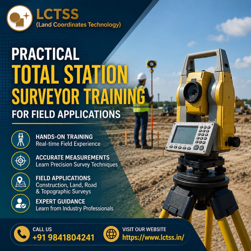
Practical experience is an important part of becoming a skilled surveyor. The Total Station Surveyor Course at LCTSS emphasizes practical learning so that participants can understand how surveying concepts are applied in real-world situations. Training can cover essential procedures such as setting up the instrument on a known point, centering, leveling, focusing, orientation, backsight procedures, angle measurement, distance measurement, and coordinate data collection.
Participants can learn how to conduct different types of field surveys using Total Station equipment.
These applications may include land surveys, topographical surveys, construction surveys, alignment surveys, building layout surveys, road surveys, boundary surveys, and other engineering surveying activities. Understanding these procedures can help learners perform surveying tasks more systematically and reduce common field errors.
The course also introduces participants to the importance of accurate data collection and field measurements. Surveying requires precision because even small measurement errors can affect construction layouts, property boundaries, road alignments, elevations, and engineering designs. Through practical exercises, learners can understand the importance of proper instrument setup, accurate observations, field notes, and systematic data recording.
A Total Station can collect horizontal angles, vertical angles, slope distances, and coordinate information. Participants can learn how these measurements are used to determine the location of points and create accurate survey data. Understanding the relationship between field observations and coordinates is essential for surveyors working on modern construction and infrastructure projects.
Another important part of Total Station surveying is setting out. Construction projects require accurate positioning of columns, foundations, walls, roads, drainage systems, utilities, and other structures. During training, learners can understand the basic principles of setting out points from survey data and transferring design information to the physical project site.
Participants can also learn about traversing and coordinate-based surveying techniques. Traversing is commonly used to establish control points and determine the positions of survey points across a project area. Understanding how to collect and manage coordinate information can help surveyors work effectively on larger construction and land development projects.
The Total Station Surveyor Course – Practical Training for Beginners & Professionals can provide valuable skills for individuals interested in careers related to land surveying, civil engineering, construction, infrastructure, GIS, and geospatial technology. Skilled surveyors are required for a wide range of projects where accurate measurement and positioning are essential.
After completing practical training, participants can explore opportunities such as junior surveyor, land surveyor, site surveyor, construction surveyor, assistant surveyor, engineering surveyor, and Total Station operator roles, depending on their qualifications and experience. Civil engineering students and graduates can also use Total Station skills to strengthen their practical knowledge and improve their understanding of field surveying.
Professionals already working in civil engineering and construction can benefit from learning modern Total Station techniques because surveying plays an important role throughout the project lifecycle. Surveyors may be involved during initial site investigations, land measurements, design implementation, construction layout, quality checking, and final as-built surveys.
The course can also be useful for professionals who want to understand the connection between traditional surveying and modern digital workflows. Total Station data can be integrated with CAD and other surveying or geospatial software for processing, drafting, mapping, and project documentation. Developing an understanding of this workflow can help learners become more efficient when working with digital survey data.
LCTSS focuses on practical knowledge that can help participants approach surveying assignments with greater confidence. Rather than learning only theoretical concepts, learners can develop an understanding of how surveying equipment and techniques are used in actual field conditions. This practical exposure can be particularly valuable for beginners who have limited experience working with professional surveying instruments.
Accuracy, patience, observation, and technical understanding are important qualities for a professional surveyor. The training helps participants understand why every stage of a survey—from instrument setup to final data recording—needs to be performed carefully. Developing these habits can contribute to better-quality surveying work and improved project outcomes.
LCTSS (Land Coordinates Technology) provides surveying and geospatial training focused on practical industry applications. The Total Station Surveyor Course is structured to help learners develop useful field skills while understanding the principles behind modern surveying technology. The training can be suitable for beginners, students, civil engineering graduates, working surveyors, site engineers, and professionals seeking to enhance their surveying capabilities.
Learning Total Station surveying from a practical perspective can help participants understand the complete process of conducting a field survey. From preparing the equipment and selecting survey points to taking observations, recording measurements, checking accuracy, and managing survey data, each stage contributes to the quality of the final survey.
The course can also help learners understand common surveying challenges and the importance of checking measurements before using them for engineering or construction purposes. Proper field procedures, repeated observations where required, instrument care, and systematic data management are essential for producing reliable survey results.
Modern construction projects increasingly depend on accurate geospatial information. Roads, bridges, buildings, industrial facilities, residential developments, pipelines, utilities, and infrastructure projects all require precise surveying at different stages. As a result, developing practical Total Station skills can be a valuable addition to a learner’s technical profile.
LCTSS aims to bridge the gap between classroom learning and practical field requirements by introducing learners to real-world surveying procedures. The Total Station Surveyor Course – Practical Training for Beginners & Professionals can therefore serve as a useful learning pathway for anyone looking to strengthen their knowledge of Total Station operations and modern land surveying.
Whether you are a beginner looking to start a surveying career or an experienced professional seeking to improve your technical skills, practical Total Station training can help you understand the equipment, procedures, and applications required in today’s surveying industry. With a strong foundation in Total Station surveying, learners can move toward more advanced technologies and professional areas such as DGPS surveying, GIS mapping, drone surveying, LiDAR, photogrammetry, and advanced geospatial data processing.
Choosing the right training can make a significant difference in developing practical confidence. LCTSS combines surveying knowledge with practical learning to help participants understand how Total Station technology can be applied to real construction, land development, and engineering projects. By gaining hands-on experience and learning systematic surveying procedures, participants can take an important step toward building a successful career in land surveying and geospatial technology.