


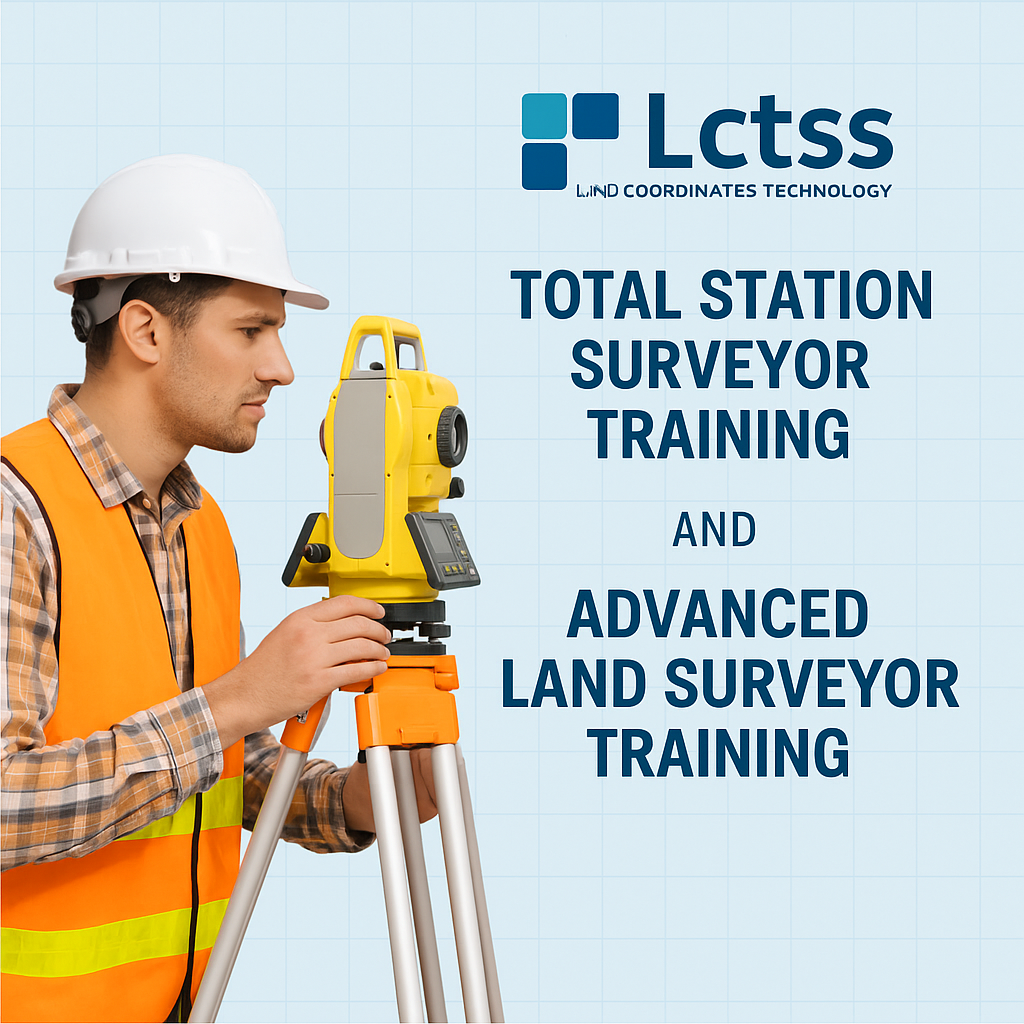
Are you passionate about land surveying and eager to master cutting-edge surveying technologies? At Land Coordinates Technology (Lctss), we offer industry-recognized Total Station Surveyor Training and Advanced Land Surveyor Training programs that equip you with practical knowledge and technical expertise for a rewarding career in geospatial sciences and land surveying.
Whether you’re a beginner stepping into the world of surveying or a professional aiming to upgrade your skillset, our structured training modules help you stay ahead in a competitive industry.
Table of Contents
ToggleLand Coordinates Technology (Lctss) is a trusted name in the field of land surveying and geospatial training. With years of experience delivering real-time projects and professional guidance, we have designed training courses that align with modern surveying standards and industry requirements.
We provide:
Practical field training on live projects
Hands-on experience with Total Station, DGPS, LiDAR, and GIS tools
Government & private sector project exposure
Guidance from experienced civil engineers and GIS professionals
Placement support and internship opportunities
Certification recognized by leading infrastructure and engineering firms
Our Total Station Surveyor Training course is designed for students, civil engineers, diploma holders, and working professionals who want to gain field-level expertise in operating Total Station equipment.
Introduction to Total Station Instruments (Leica, Sokkia, Trimble, etc.)
Survey Data Collection and Coordinate Computation
Setting Out & Stakeout Procedures
Topographic Survey Techniques
Data Transfer, Processing & Plotting Using AutoCAD
Traversing and Resection Methods
Real-time Project Training
By the end of the training, you’ll be capable of independently handling surveying tasks using Total Station, ensuring you’re job-ready.
The Advanced Land Surveyor Training program is designed for those who want to deepen their expertise beyond the basics. This course covers a range of sophisticated surveying tools and techniques required for infrastructure, real estate, and geospatial projects.
Total Station Advanced Techniques
Differential GPS (DGPS) & GNSS Surveying
UAV/Drone Surveying & Data Interpretation
LiDAR Technology for 3D Mapping
GIS & Remote Sensing Fundamentals
Civil Engineering Project Alignment Surveys
Contour, Roadway, and Boundary Mapping
Survey Data Management and AutoCAD Civil 3D Integration
This course is ideal for individuals working in civil construction, infrastructure planning, land development, mining, or public sector survey departments.
Our training is open to:
Civil Engineering Graduates & Diploma Holders
Polytechnic Students
Working Professionals in Surveying/Construction
Government Contractors and Consultants
Real Estate Professionals
Anyone seeking a career in geospatial technology
Lctss offers both classroom and on-field training across key locations including:
Chennai
Tiruchirappalli (Trichy)
Thiruvananthapuram (Kerala)
Bangalore
Custom on-site corporate training on request
Upon completion, students will receive an industry-recognized Certificate of Completion from Land Coordinates Technology (Lctss). This opens up opportunities in:
Government Land Records Departments
Surveying Firms
Real Estate & Infrastructure Companies
GIS Mapping Agencies
Highway & Transportation Planning
Private Construction Companies
Our placement team actively supports students by connecting them with job opportunities in top survey and geospatial organizations.
Field-based Learning: Real-life survey exercises and site visits
Experienced Mentors: Trainers with 10+ years of industry experience
Project Exposure: Hands-on training with ongoing infrastructure projects
Updated Curriculum: Includes latest survey equipment & GIS integration
Small Batch Sizes: Personalized attention and practical learning
Affordable Fees: Value-for-money courses with flexible scheduling options
🗣️ “Lctss helped me transition from a student to a confident land surveyor. The Total Station field training was spot on!” – Ravi K., Trichy
🗣️ “I enrolled in the Advanced Land Surveyor course and learned everything from drone surveys to DGPS mapping. Highly recommended!” – Priya R., Chennai
The course typically lasts between 10 to 15 days, depending on the depth of the training and field exposure.
No. While a background in civil or geospatial sciences is helpful, anyone with an interest in surveying can join.
We provide theory sessions online, but field practicals are conducted in person to ensure hands-on experience.
Total Station training focuses on a single surveying instrument and basic techniques, while Advanced Land Surveyor training covers multiple tools (DGPS, UAV, GIS, etc.) and complex survey operations.
Yes. Lctss provides placement support through its network of surveying and infrastructure firms.
Absolutely. A Certificate of Completion from Land Coordinates Technology (Lctss) is awarded after successful course completion.
You’ll participate in real-world projects like highway surveys, land parcel mapping, and layout setting for construction.
Yes. All trainers at Lctss have extensive field experience and knowledge of modern surveying technologies.
We train on Total Station equipment, DGPS, AutoCAD, Civil 3D, GIS tools, and Drone mapping software.
You can enroll by visiting our official website, calling our support line, or walking into any of our training centers.
In the ever-evolving world of infrastructure and smart cities, skilled surveyors are in high demand. At Land Coordinates Technology (Lctss), we equip you with the latest tools and industry-relevant knowledge to become a professional land surveyor.
Whether you’re just starting out or looking to enhance your current expertise, our Total Station Surveyor Training and Advanced Land Surveyor Training courses are your gateway to success.
📍 Contact Us Today:
📞 Phone: +91-9841804241
📧 Email: lctsurveyins@gmail.com
🌐 Website: www.lctss.in
📍 Locations: Chennai | Trichy | Bangalore | Thiruvananthapuram