




Table of Contents
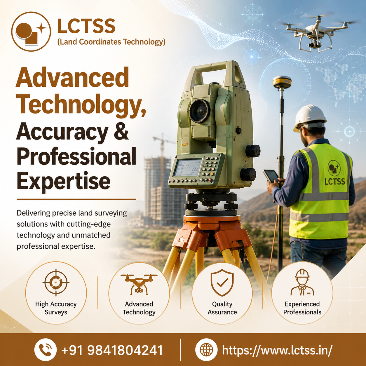
ToggleWhen it comes to successful construction, infrastructure development, and property management, choosing trusted land surveyors is one of the most important decisions you can make. Accurate land surveys provide the foundation for planning, design, legal compliance, and construction, ensuring that every project begins with reliable and verified data. LCTSS (Land Coordinates Technology) is a leading provider of professional land surveying services, delivering precise, technology-driven solutions for residential, commercial, and industrial projects across India.
With years of industry expertise and a team of highly skilled survey professionals, LCTSS combines advanced surveying equipment with modern geospatial technologies to produce accurate measurements, detailed maps, and dependable survey reports. Whether you are planning a residential housing project, developing a commercial complex, constructing an industrial facility, or executing large-scale infrastructure works, our surveying services help eliminate costly errors while ensuring projects remain on schedule and within budget.
Our commitment to quality, precision, and customer satisfaction has earned us the trust of architects, engineers, builders, government agencies, real estate developers, and private property owners. Every survey is conducted with meticulous attention to detail, ensuring compliance with industry standards and project-specific requirements.
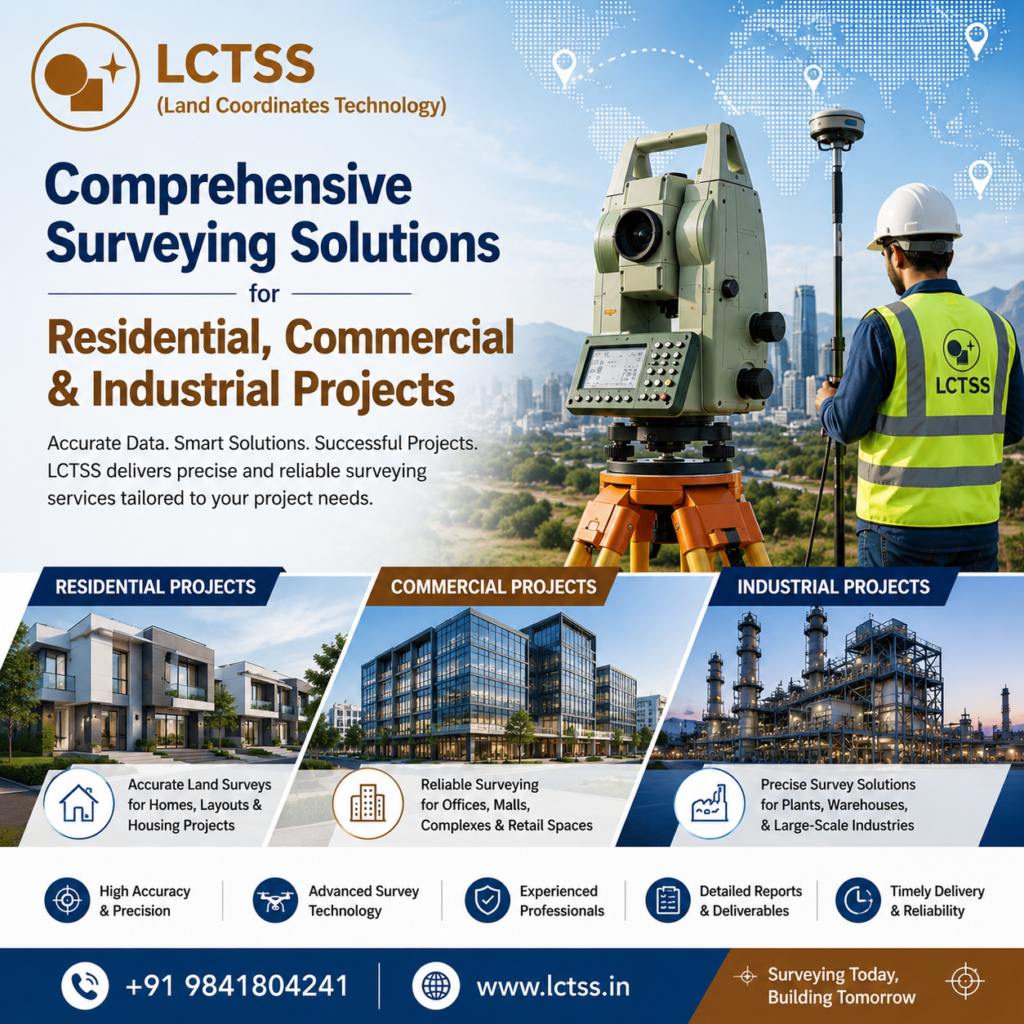
Every project has unique surveying requirements, and LCTSS offers customized solutions designed to meet diverse industry needs. Residential developments require accurate boundary identification, plot measurement, and topographic data to facilitate legal documentation and construction planning. Commercial developments depend on precise site surveys to support architectural design, utility planning, drainage systems, parking layouts, and structural engineering. Industrial projects demand highly accurate land measurements for plant layouts, warehouses, manufacturing facilities, logistics parks, and large-scale infrastructure development.
At LCTSS, we utilize advanced technologies including Total Station Survey, DGPS Survey, Drone Survey, UAV Mapping, GIS Mapping, Topographic Survey, Contour Survey, and Digital Terrain Modeling to deliver highly accurate spatial data. These technologies enable faster data collection, improved efficiency, and greater accuracy compared to traditional surveying methods.
Our experienced surveyors carefully assess terrain conditions, identify property boundaries, locate existing utilities, prepare detailed contour maps, and generate digital survey outputs that support engineering and construction teams throughout every stage of a project. Accurate survey data minimizes design conflicts, reduces construction delays, improves project coordination, and ensures smooth execution from planning to completion.
Whether the project involves residential townships, apartment complexes, shopping malls, office buildings, highways, bridges, railway corridors, airports, industrial parks, renewable energy projects, pipelines, or smart city developments, LCTSS delivers dependable surveying solutions that help clients make informed decisions with confidence.
Modern land surveying demands more than conventional measurement techniques. It requires advanced instruments, experienced professionals, and intelligent data processing capabilities. LCTSS continuously invests in the latest surveying technology to provide clients with reliable, accurate, and high-quality results.
Our survey professionals operate sophisticated Total Stations, DGPS equipment, RTK GPS systems, laser scanners, drones equipped with high-resolution cameras, and GIS software to capture precise field data. The collected information is processed using industry-standard software to generate detailed CAD drawings, digital maps, contour models, elevation data, and engineering-ready deliverables.
Accuracy is at the heart of every project we undertake. Even minor surveying errors can lead to costly construction modifications, legal disputes, boundary conflicts, or engineering challenges. Our quality assurance process ensures that every survey undergoes rigorous verification before final delivery, giving clients complete confidence in the accuracy of the results.
Safety, efficiency, and compliance are equally important. Our survey teams follow established surveying standards while maintaining strict safety protocols during field operations. From small residential plots to complex industrial facilities covering hundreds of acres, we consistently deliver dependable surveying services that meet client expectations.
LCTSS also understands the importance of timely project delivery. Using digital surveying workflows and modern equipment, we significantly reduce field survey time while maintaining exceptional accuracy. Faster survey completion enables engineers, architects, and project managers to proceed with planning and construction without unnecessary delays.
LCTSS (Land Coordinates Technology) has built a strong reputation as one of the most trusted land surveying companies by consistently delivering professional, accurate, and cost-effective surveying solutions. Our client-focused approach ensures that every project receives personalized attention, technical excellence, and reliable support from initial consultation through final project delivery.
We work closely with builders, developers, government organizations, infrastructure companies, industrial manufacturers, architects, consultants, and private landowners to provide surveying solutions tailored to specific project objectives. Our expertise spans residential layouts, commercial developments, industrial facilities, highways, railways, utilities, mining projects, renewable energy installations, and large-scale infrastructure developments.
By combining experienced professionals with cutting-edge surveying technology, LCTSS helps clients reduce project risks, improve construction accuracy, streamline planning, and maintain regulatory compliance. Every survey report is prepared with precision, providing valuable information that supports better engineering decisions and successful project execution.
As infrastructure development continues to grow across India, the demand for reliable and accurate land surveying services has never been greater. LCTSS remains committed to delivering innovative geospatial solutions that empower clients with precise spatial information, dependable survey data, and unmatched technical expertise. If you are looking for trusted land surveyors for residential, commercial, and industrial projects, LCTSS is your reliable partner for precision, professionalism, and excellence in every survey.