


Table of Contents
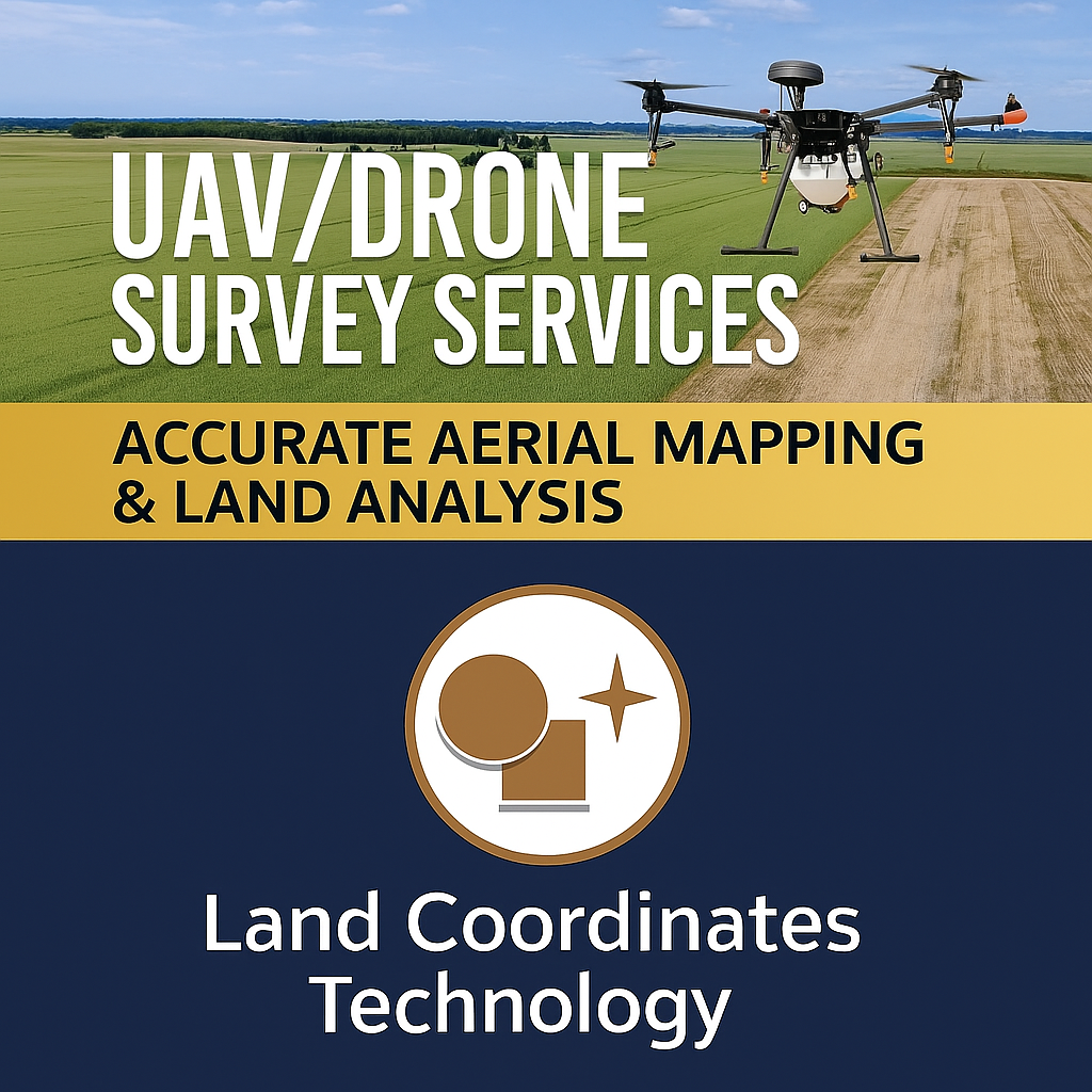
ToggleIn today’s fast-paced world, accurate data collection is crucial for a variety of industries, from construction and agriculture to environmental monitoring and urban planning. UAV (Unmanned Aerial Vehicle) or drone survey services have emerged as a revolutionary tool for providing precise aerial mapping and land analysis. At Lctss (Land Coordinates Technology), we specialize in offering cutting-edge drone survey services that ensure accuracy, efficiency, and comprehensive insights for your projects.
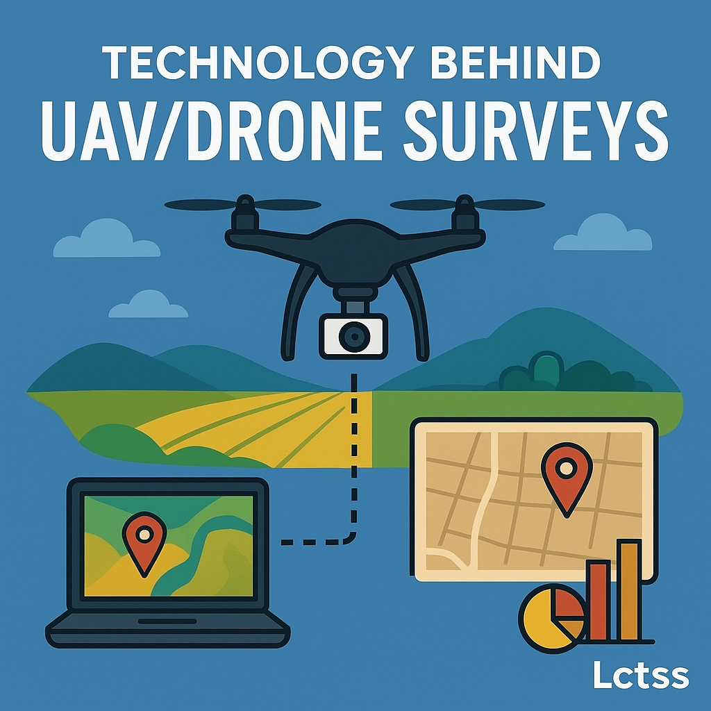
UAV/Drone survey services involve the use of advanced drone technology to capture high-resolution images and data of land and structures from the sky. These services provide a range of applications, including:
Traditional surveying methods can be time-consuming and prone to human error. UAV technology allows for highly accurate data collection, with the capability to achieve centimeter-level precision. This accuracy is essential for applications that require detailed analysis and decision-making.
Using drones significantly reduces the costs associated with manual surveying methods. The speed of data collection means that projects can be completed in a fraction of the time, reducing labor costs and increasing overall efficiency.
The data collected via UAV surveys is versatile and can be used for various applications. Whether you need high-resolution imagery, elevation data, or volumetric calculations, UAV surveys can provide the necessary information for a wide range of projects.
Drones can access challenging or hazardous areas without putting personnel at risk. This is particularly beneficial in environments that may be unsafe for ground crews, such as steep terrain or disaster zones.
UAVs can be deployed quickly, allowing for immediate data collection. This is especially useful in time-sensitive projects where quick decision-making is crucial.
At Lctss, we offer a comprehensive range of UAV/Drone survey services, tailored to meet the specific needs of our clients:
Our aerial mapping services provide high-resolution images that can be transformed into detailed maps. Whether you require orthoimagery or 3D models, our advanced drones and software ensure accuracy and quality.
Understanding land use and vegetation patterns is vital for effective land management. Our drone technology allows for detailed analysis, providing insights into crop health, land degradation, and biodiversity.
We offer regular monitoring of construction sites to track progress and ensure compliance with designs and regulations. Our drone surveys provide stakeholders with visual updates and actionable insights.
Our UAV services include the collection of various geospatial data, which can be utilized in GIS (Geographic Information Systems) for advanced analysis and decision-making.
In the aftermath of natural disasters, rapid assessment of damage is essential. Our UAV surveys enable quick and thorough evaluations of affected areas, assisting in recovery efforts.
At Lctss, we utilize state-of-the-art drone technology equipped with high-resolution cameras and advanced sensors. Our UAVs are capable of capturing data in various spectrums, including RGB, multispectral, and thermal imaging. This technology allows us to provide detailed insights into land conditions, vegetation health, and structural integrity.
Our drone data is processed using advanced software that enables the creation of 2D and 3D models, contour maps, and other analytical outputs. We ensure that our clients have access to user-friendly interfaces for data interpretation and analysis.
UAV/Drone survey services can benefit a wide range of projects, including construction, agriculture, mining, environmental studies, and urban planning.
Drone surveys can achieve centimeter-level accuracy, depending on the technology used and the survey methods applied.
The duration of a drone survey depends on the size and complexity of the area being surveyed. However, drone surveys are generally much quicker than traditional methods.
Costs vary based on the project scope, size, and specific requirements. Contact us for a customized quote.
We provide data in various formats, including orthomosaics, 3D models, and GIS-compatible files.
Yes, drones can access challenging terrains and hazardous areas, making them ideal for difficult survey conditions.
Absolutely! We provide comprehensive analysis and reporting services to help interpret the data collected.
Yes, our drone operators are licensed and trained to ensure compliance with all regulations and safety standards.
We adhere to strict data security protocols to protect client information and ensure confidentiality.
We serve a variety of industries, including construction, agriculture, mining, environmental management, and urban planning.
“Lctss has transformed the way we approach our construction projects. The accuracy and speed of their drone surveys have saved us both time and money. We can now make informed decisions based on real-time data!”
“The insights we received from Lctss’s UAV surveys were invaluable for our environmental assessments. Their team was professional and the data was delivered promptly. Highly recommended!”
“Using Lctss for our agricultural mapping needs has been a game changer. The detailed aerial imagery has allowed us to monitor crop health more effectively and optimize our resources.”
“The 3D models provided by Lctss have significantly enhanced our urban planning efforts. Their expertise and advanced technology make them a reliable partner.”
UAV/Drone survey services are revolutionizing the way we conduct land analysis and mapping. At Lctss, we are committed to providing accurate, efficient, and cost-effective solutions tailored to your needs. Whether you’re in construction, agriculture, or environmental management, our drone survey services can deliver the insights you need to make informed decisions.
For more information or to schedule a consultation, contact us today!