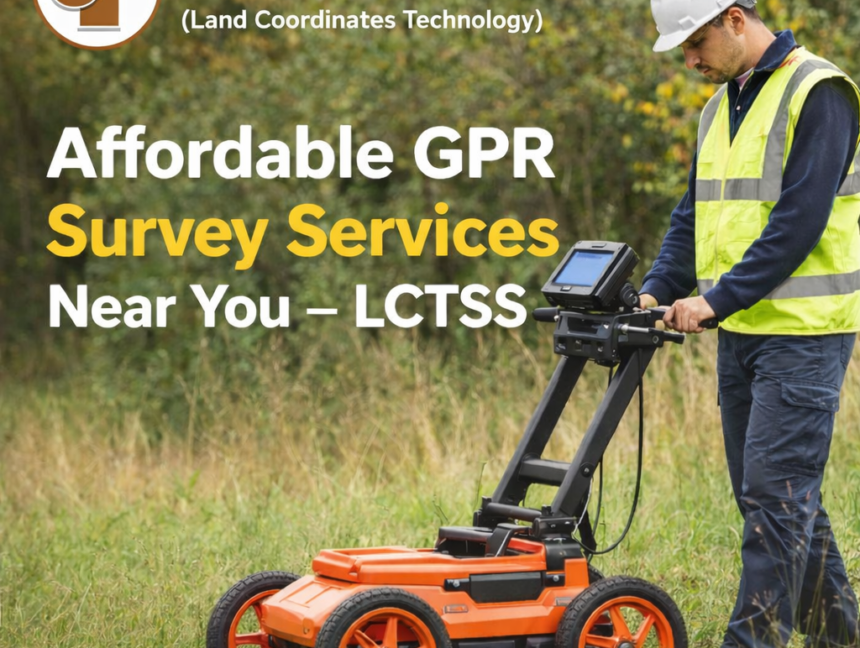
Blog

Trusted Land Surveyors Near You – Reliable Surveying Services by Lctss
  • No Comments

Trusted Land Surveyors Near You – Reliable Surveying Services by Lctss

In today’s fast-developing world, accurate land surveying plays a crucial role in real estate, construction, and infrastructure projects. Whether you are planning to purchase property, develop land for construction, or carry out large-scale infrastructure projects, having access to trusted land surveyors near you ensures that every project begins with precision. At Lctss (Land Coordinates Technology),

  • No Comments

Civil-Based Traffic Planning – Safe & Efficient Transport Solutions

At Lctss (Land Coordinates Technology), we specialize in Civil-Based Traffic Planning to create smarter, safer, and more sustainable transport solutions. With rapid urbanization and increasing road congestion, effective traffic management has become essential to ensure smooth mobility, safety, and infrastructure growth. Our expert team of engineers, surveyors, and planners combines advanced technology with proven methodologies

  • No Comments

Ground Penetrating Radar (GPR) Solutions – Trusted Surveying Services by Lctss

When it comes to land surveying and infrastructure development, understanding what lies beneath the surface is just as important as what is built above it. Excavation without proper subsurface knowledge can lead to damaged utilities, unexpected project delays, and added costs. That’s where Ground Penetrating Radar (GPR) solutions come in. At Lctss (Land Coordinates Technology),

  • No Comments

GIS Mapping for Construction & Infrastructure Projects – Reliable Solutions

In today’s rapidly evolving construction and infrastructure sector, GIS (Geographic Information System) mapping has become an essential tool for accurate planning, efficient execution, and sustainable development. At Lctss (Land Coordinates Technology), we specialize in delivering professional GIS mapping services that empower architects, engineers, contractors, and government bodies to make data-driven decisions. With the help of