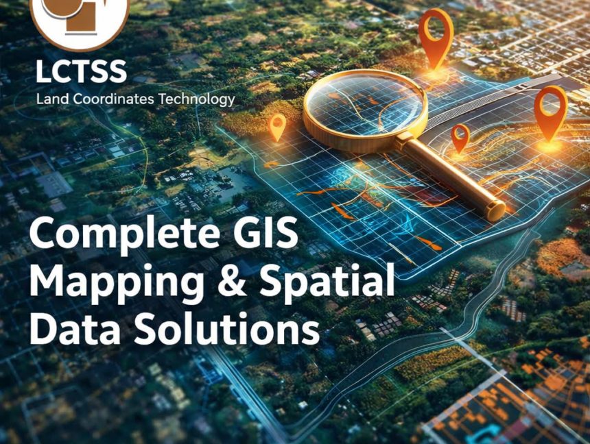
Complete GIS Mapping & Spatial Data Solutions
Complete GIS Mapping & Spatial Data Solutions – Land Coordinates Technology (LCTSS) In today’s data-driven world, accurate geographic information is the foundation of smart planning and sustainable development. Land Coordinates Technology (LCTSS) delivers complete GIS Mapping & Spatial Data Solutions designed to support government departments, infrastructure developers, construction companies, urban planners, and private organizations with