


GIS Mapping for Construction & Infrastructure Projects – Reliable Solutions
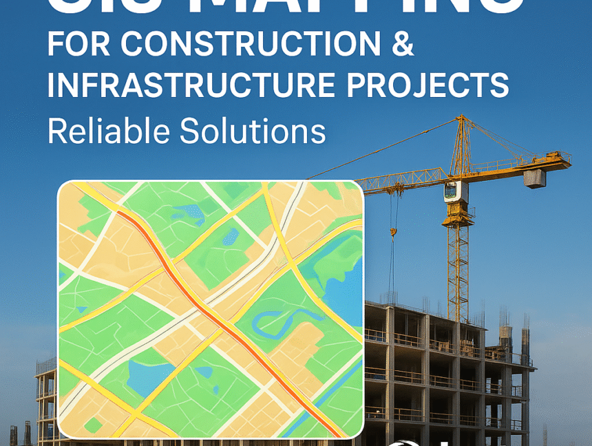
In today’s rapidly evolving construction and infrastructure sector, GIS (Geographic Information System) mapping has become an essential tool for accurate planning, efficient execution, and sustainable development. At Lctss (Land Coordinates Technology), we specialize in delivering professional GIS mapping services that empower architects, engineers, contractors, and government bodies to make data-driven decisions. With the help of


