


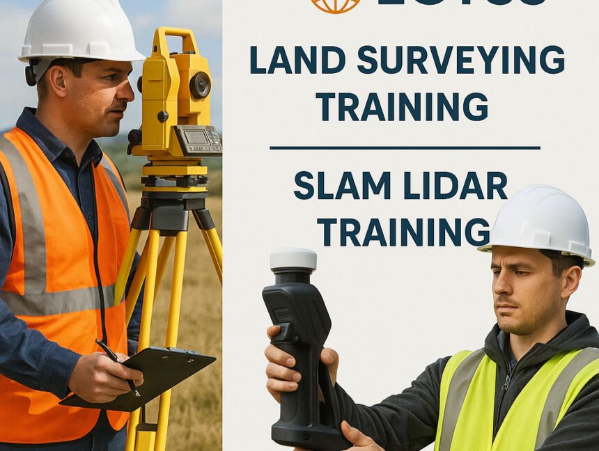
Land Surveying Training and SLAM LiDAR Training at Lctss (Land Coordinates Technology)
In today’s fast-evolving geospatial industry, high-quality Land Surveying Training and SLAM LiDAR Training are critical to building a strong workforce ready to tackle real-world challenges. Lctss (Land Coordinates Technology) stands at the forefront, offering comprehensive, industry-driven courses that empower surveyors, engineers, GIS professionals, and technicians with the skills they need to succeed. Whether you’re starting
